The Northern Corsica - GR20 hiking map set from Kompass is designed for walking, cycling and many outdoor activities. Three detailed maps at 1:50,000 cover all of northern Corsica, combining excellent readability with extensive regional coverage.
Kompass maps are known for precise, reliable cartography, regularly updated by a specialist team. They show all official hiking trails, including the renowned GR20, with names and numbers, as well as cycle routes, via ferrata routes, mountain huts, holiday accommodation, car parks, public transport, ski routes, springs, swimming areas and more.
Vegetation, contour lines, rock drawings and relief shading provide an intuitive view of the landscape, making navigation on the ground easier.
The mapping is also available offline through the Kompass app, ideal for planning and following routes without an Internet connection.
Features
- Set of 3 maps covering northern Corsica
- Scale 1:50,000 (1 cm = 500 m)
- Official hiking trails, including the GR20
- Cycle and mountain biking routes
- Via ferrata
- Mountain huts, holiday accommodation and inns
- Transport (bus and train), car parks
- Relief depicted through shading and contour lines
- Available offline in the Kompass app
About the region - Northern Corsica
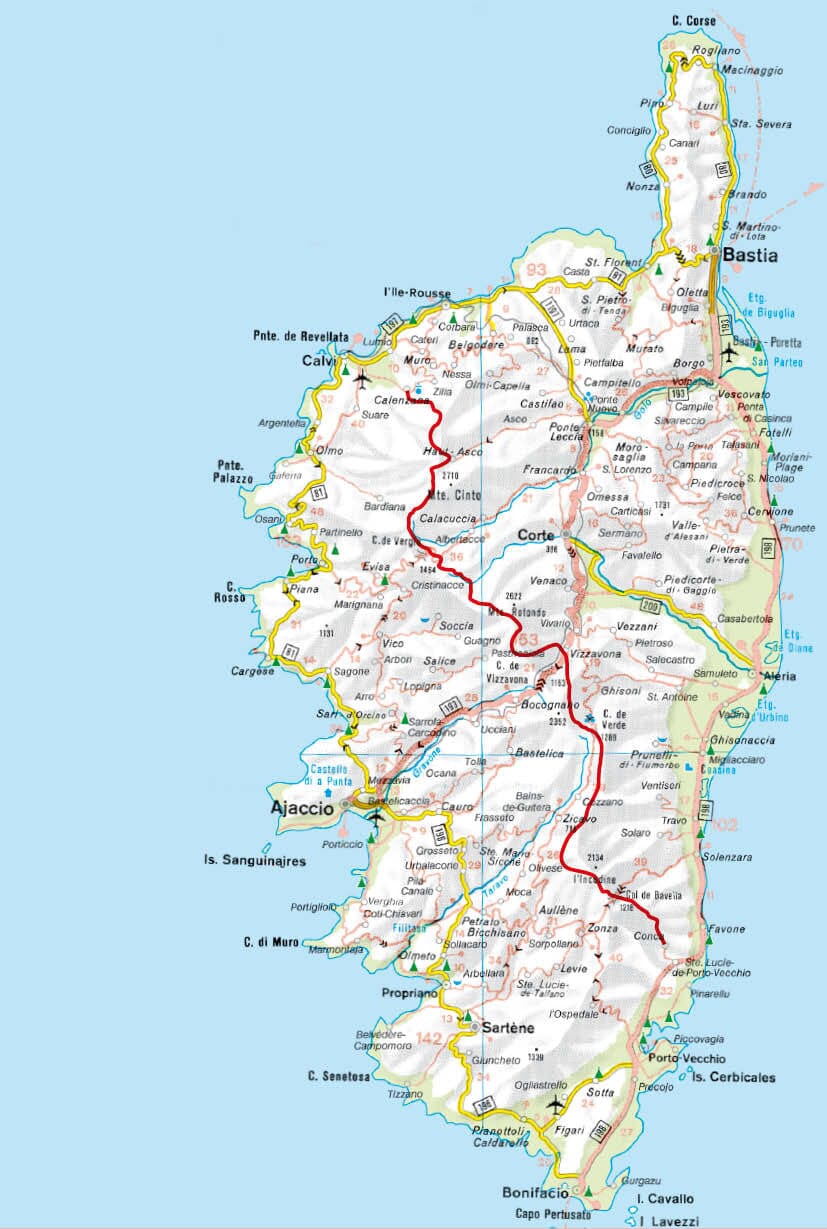
Northern Corsica offers wild coastline, deep gorges and spectacular peaks. The famous GR20 crosses some of the Mediterranean's most impressive landscapes. Calvi and Bastia are major cultural centres between the sea and mountains.