21 products
📦 Hard-to-find maps - worldwide shipping
📦 Hard-to-find maps & travel guides - worldwide shipping, 30-day returns
🌞 Summer travel: 20,000+ maps in stock
🌞 Plan your summer: 20,000+ maps and travel guides in stock Details →
✅ Latest editions guaranteed — since 2010
✅ Latest editions guaranteed - 180,000+ travellers equipped since 2010
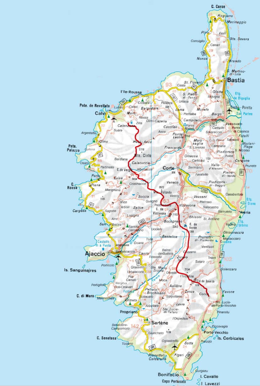
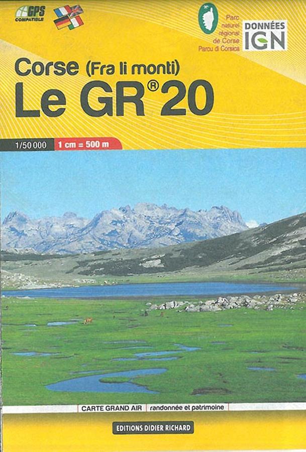
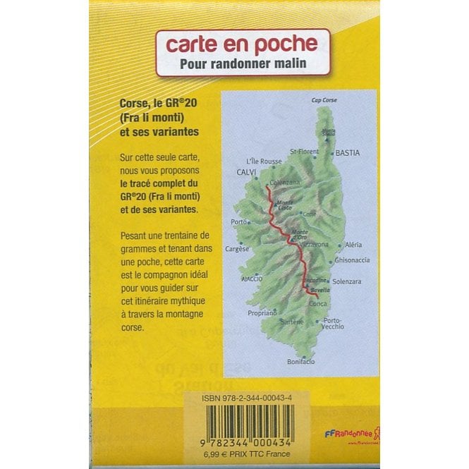
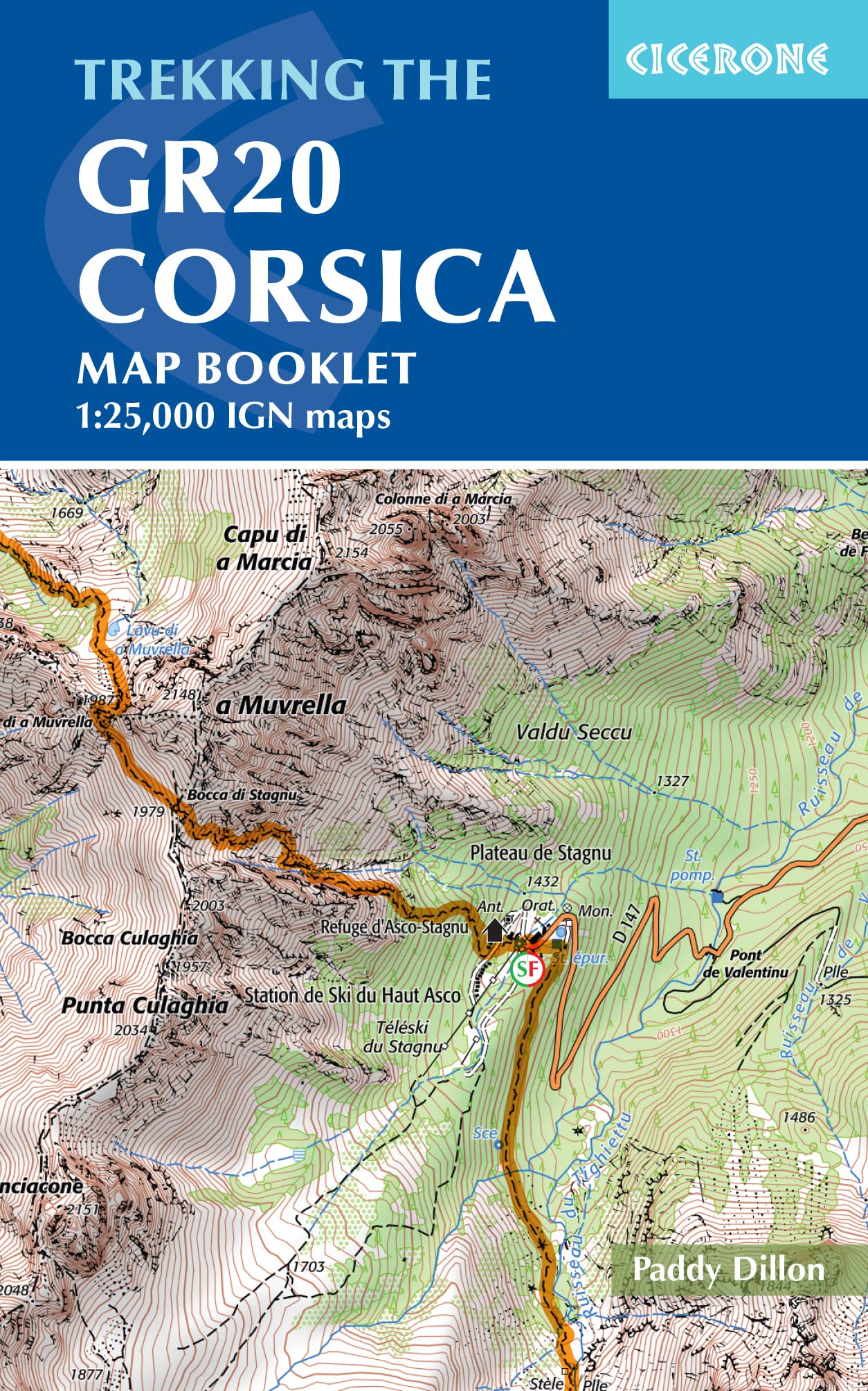
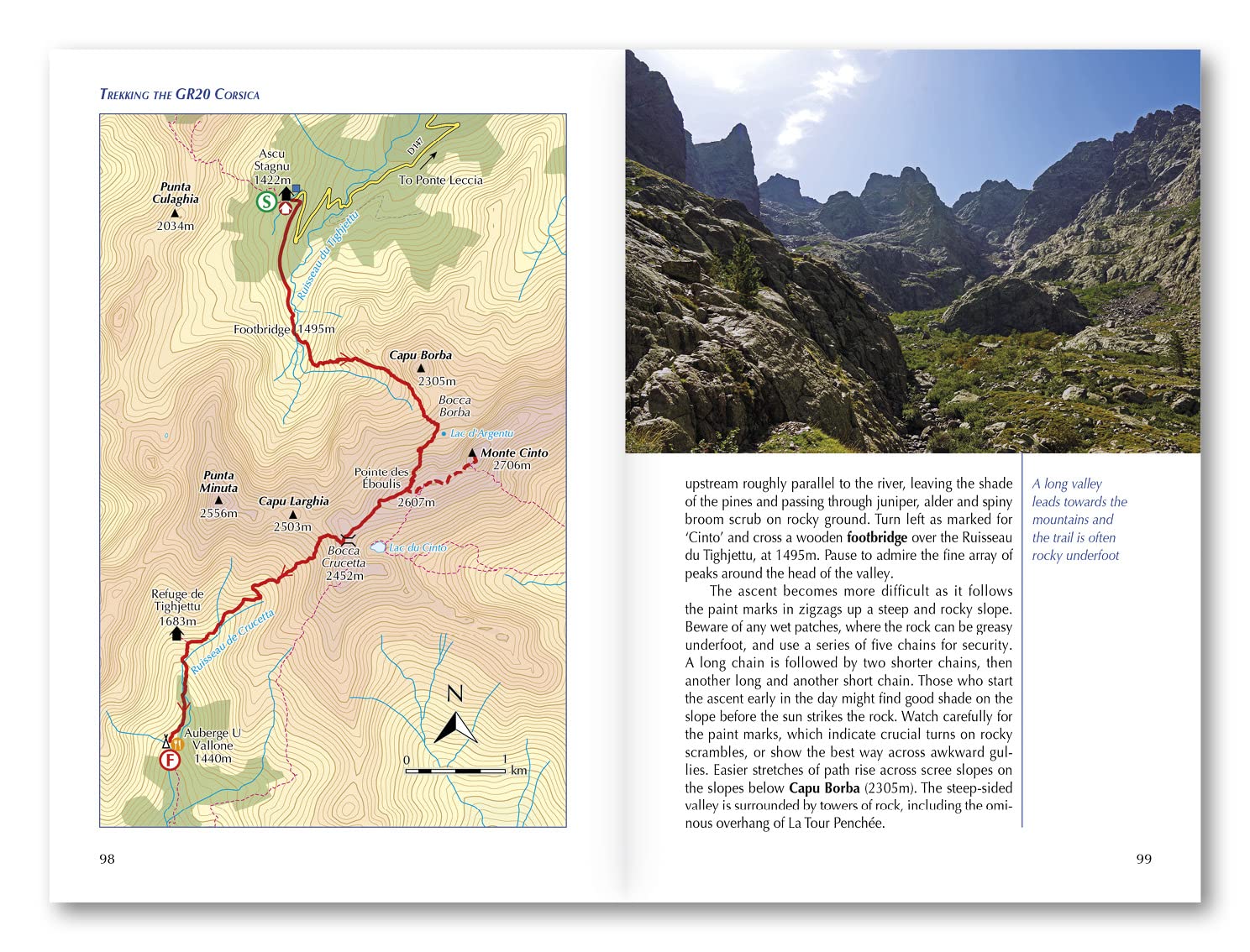
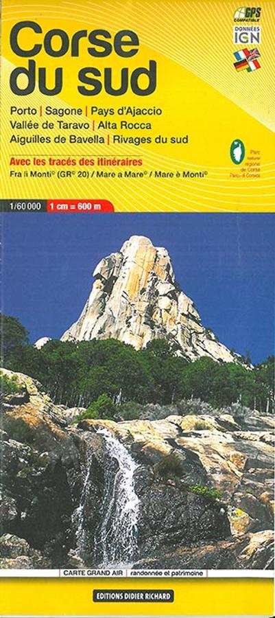
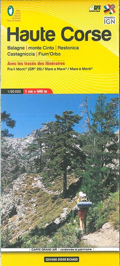
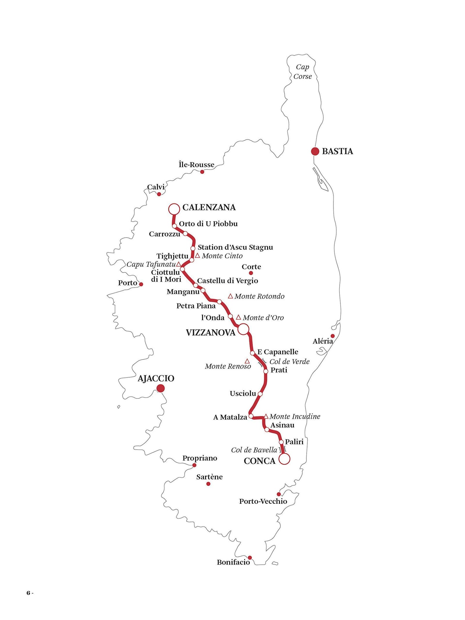
The GR20 crosses Corsica from Calenzana to Conca — roughly 180 km (about 112 miles) and some fifteen stages through the island's Regional Nature Park. Widely regarded as one of Europe's most demanding long-distance trails, it's a route you'll want to walk with reliable navigation in hand.
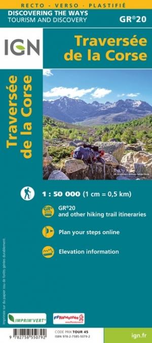
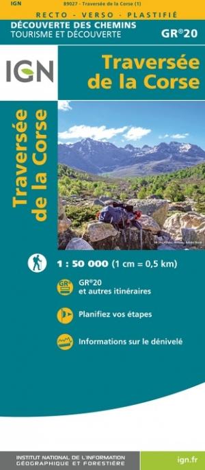
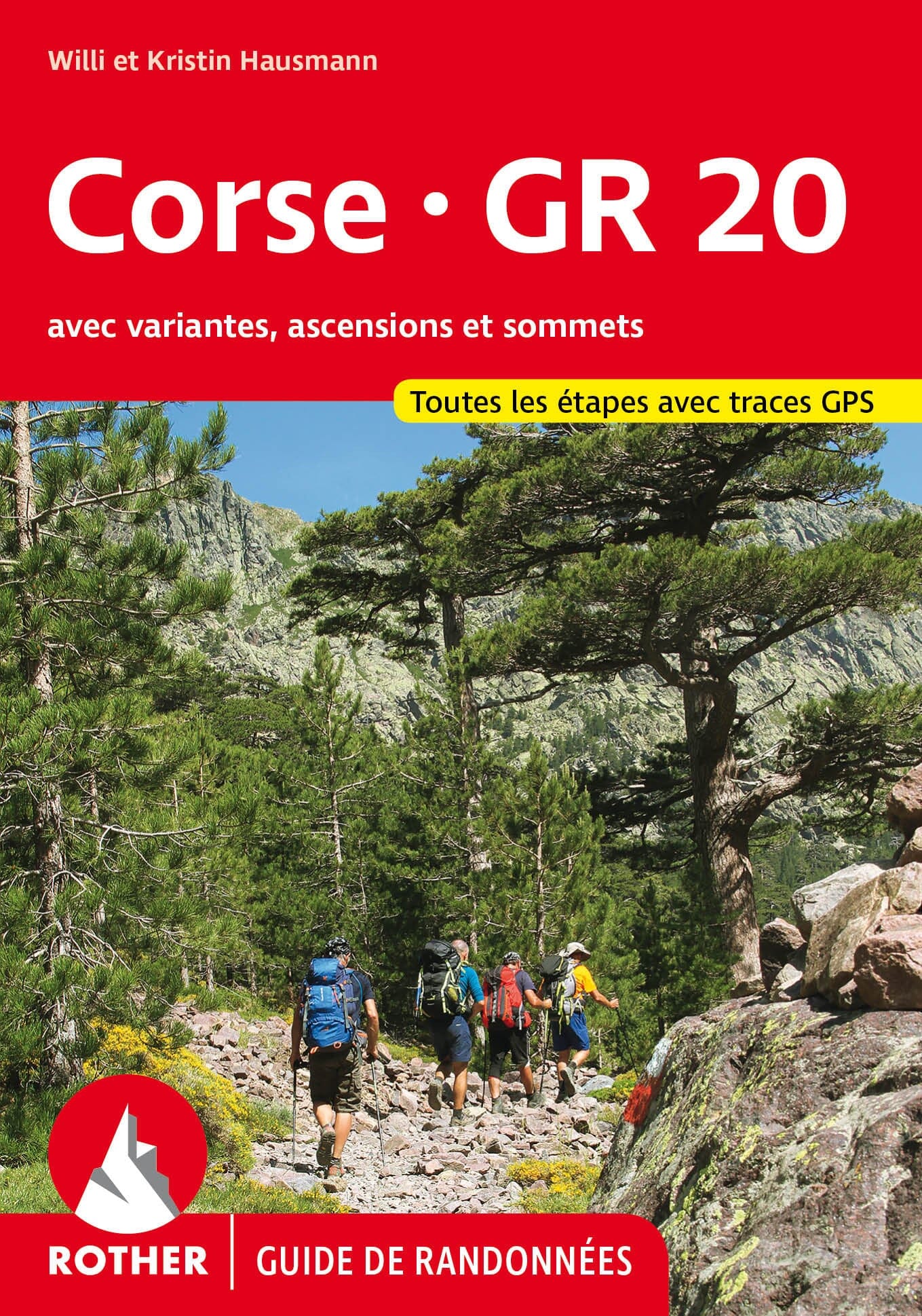
Here you'll find everything to plan and hike it: the laminated IGN map covering the full traverse on a single sheet, the IGN TOP 25 sheets for detail across the massifs you'll cross (Monte Cinto, Monte d'Oro, Monte Renoso, Bavella), and stage-by-stage guidebooks — including English-language editions from Cicerone and Knife Edge — with refuges, water points and trail variants. Latest edition guaranteed, shipped within 48h.
The exclusive newsletter for travel and discovery enthusiasts!