All maps and guidebooks for Hiking in France
France offers exceptional terrain for hiking, with thousands of kilometers of marked trails through diverse landscapes: mountains, coastlines, forests, and natural parks . Whether you're going for a day hike or a multi-day trek, having detailed maps and reliable guidebooks is essential for planning your route.
On this page, you will find our selection of maps and guides for hiking in France , including IGN maps, long-distance hiking trails and official guidebooks.
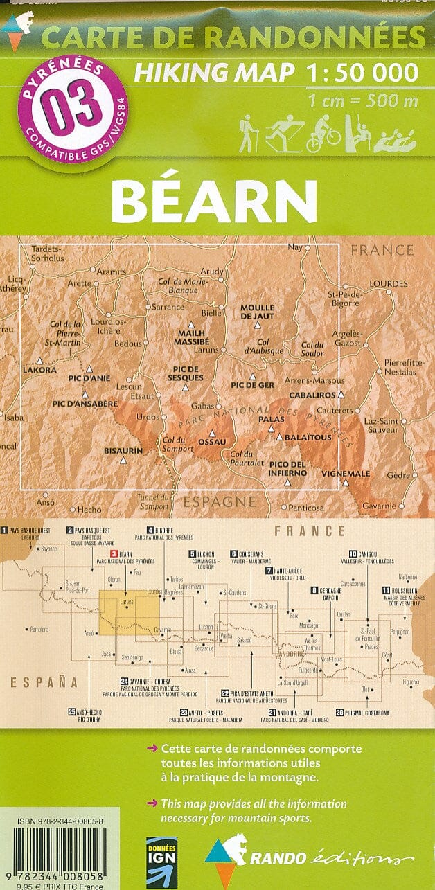
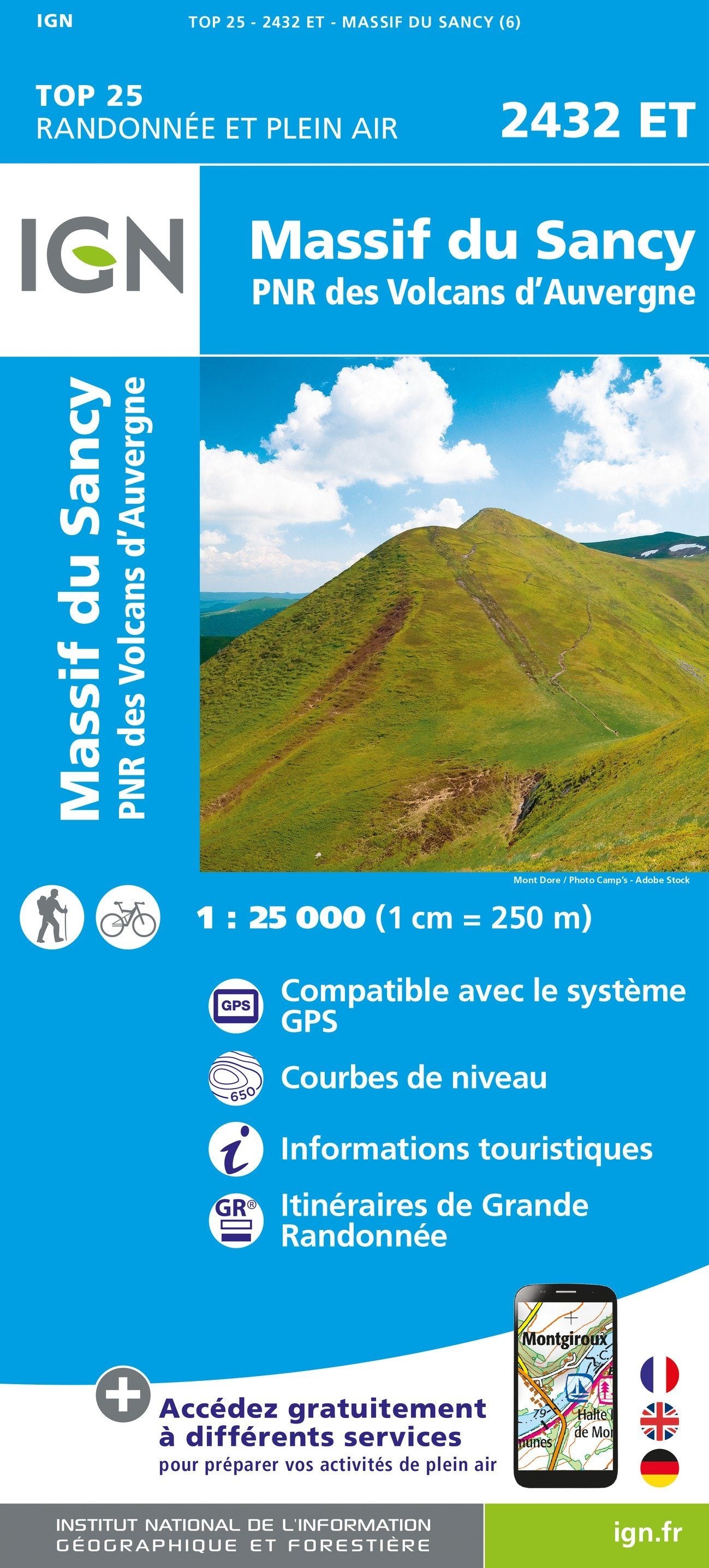
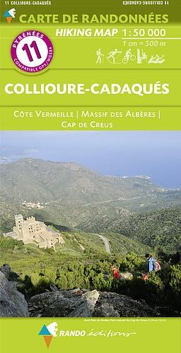
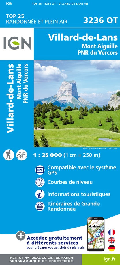
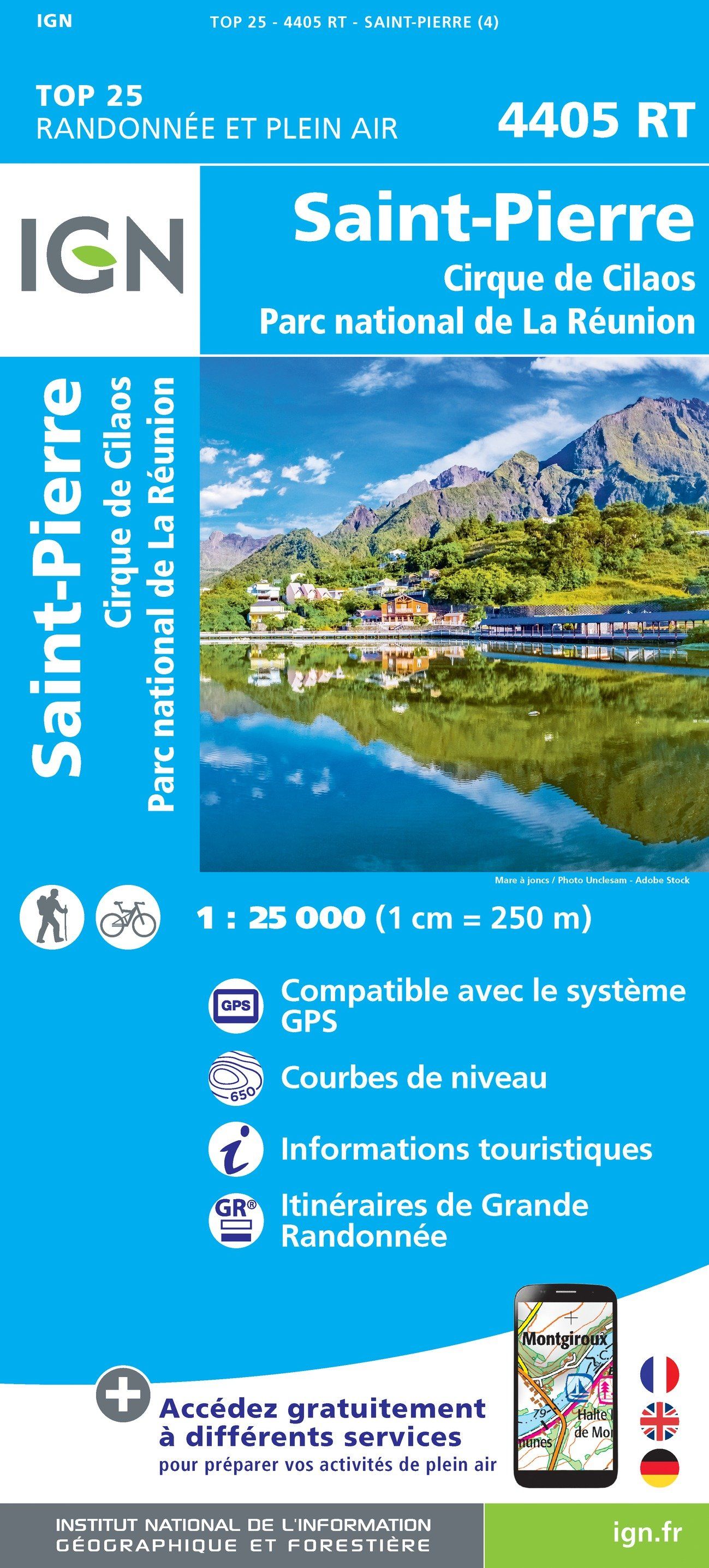
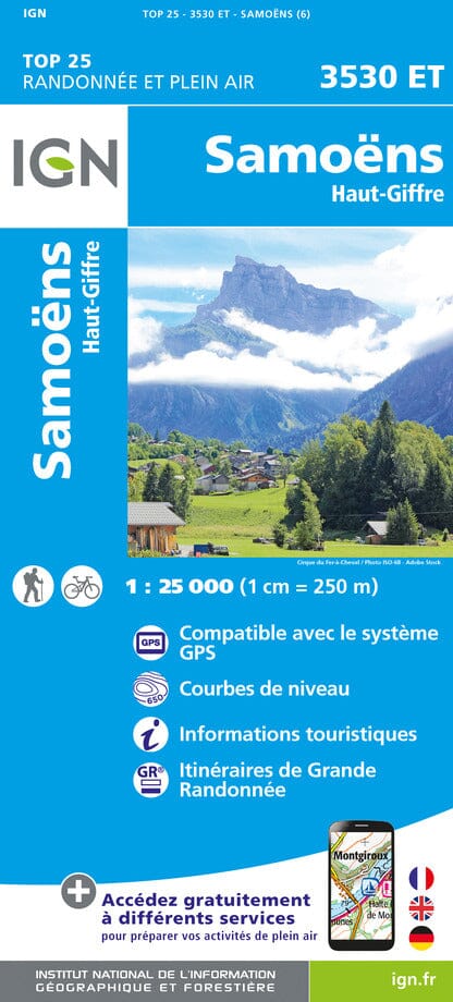
🗺️ IGN TOP 25 Maps
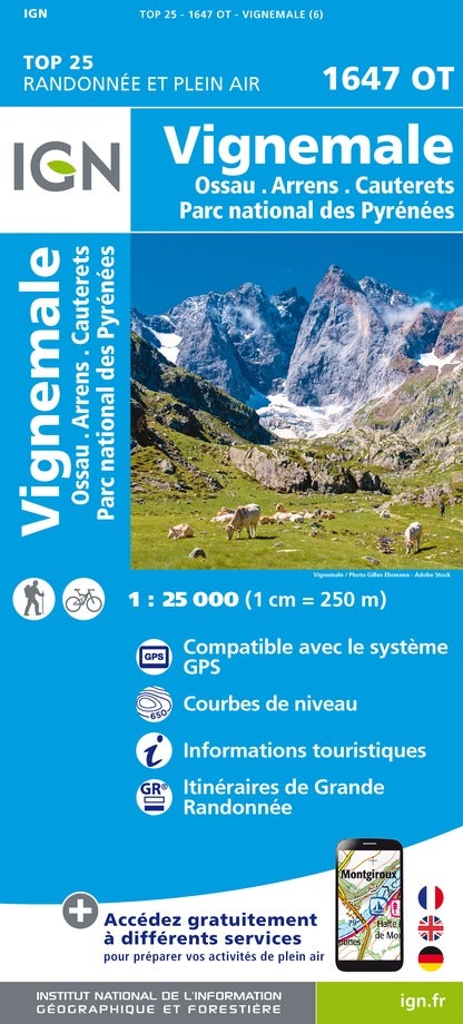
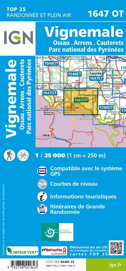
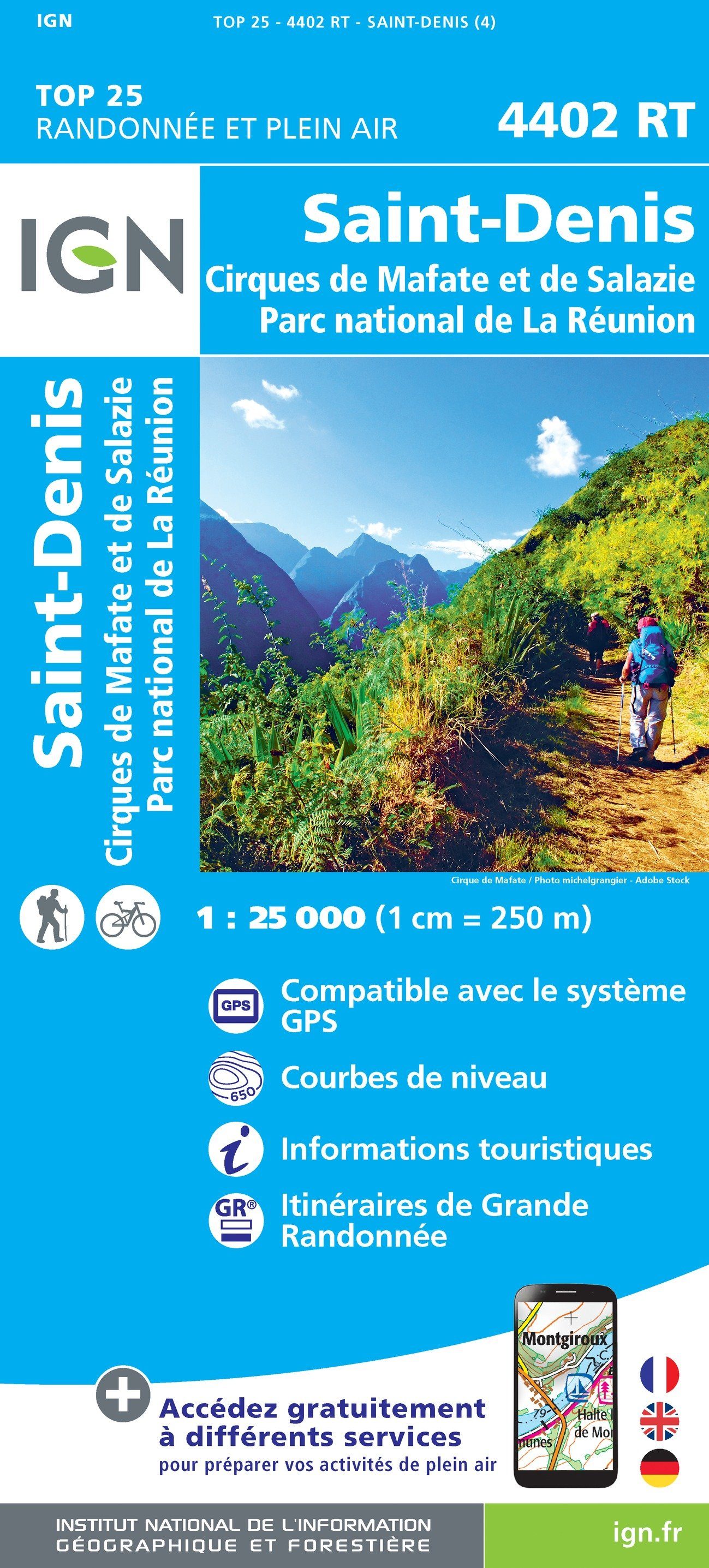
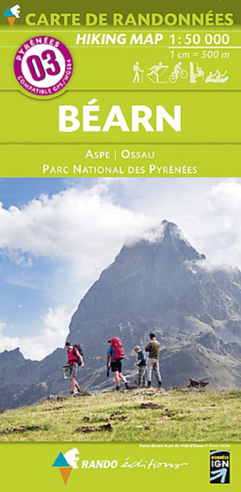
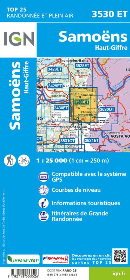
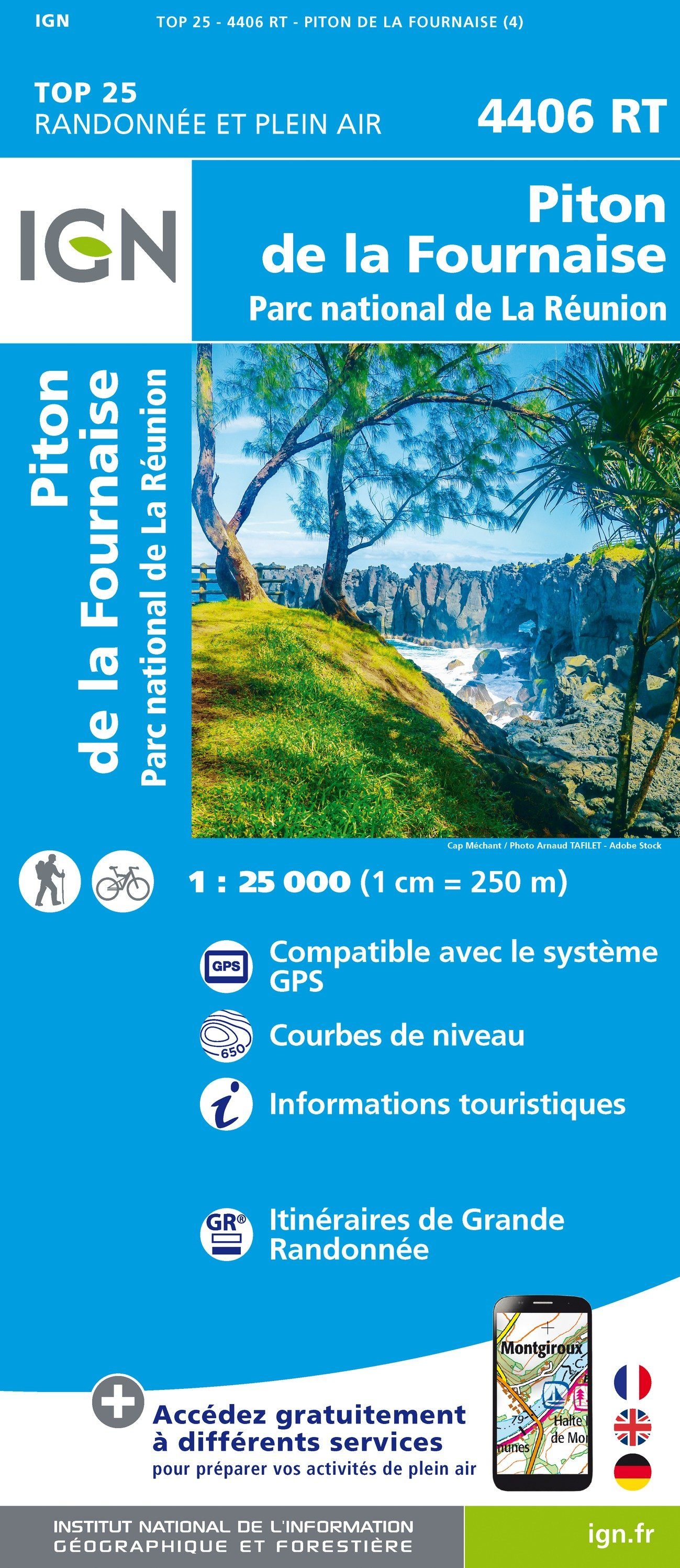
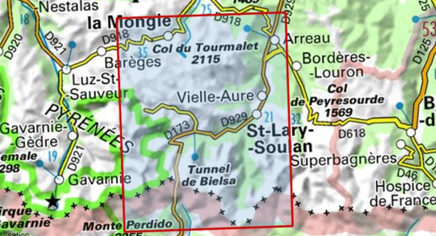
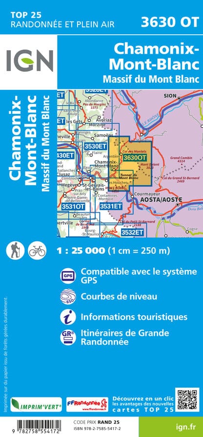
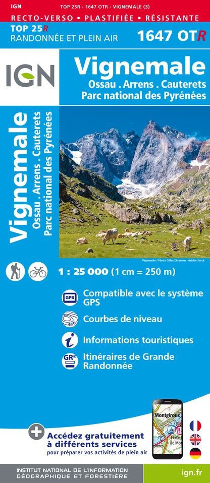
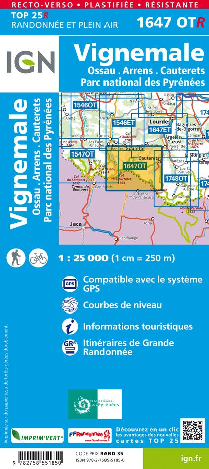
IGN TOP 25 maps are the reference for hiking in France. At a scale of 1:25,000 , they offer an exceptional level of detail: trails, terrain, contour lines, mountain huts, water points and natural sites.
👉 Discover the IGN TOP 25 Maps collection
🥾 Long-distance hiking trails (GR)
The GR (Long-Distance Hiking Trails) cross France along iconic routes such as the GR20 in Corsica , the GR5 through the Alps , or the GR34 along the Breton coast . These trails, marked in red and white, allow you to explore some of the most beautiful regions of the country.
👉 Explore the Long-Distance Hiking Trails (GR) collection
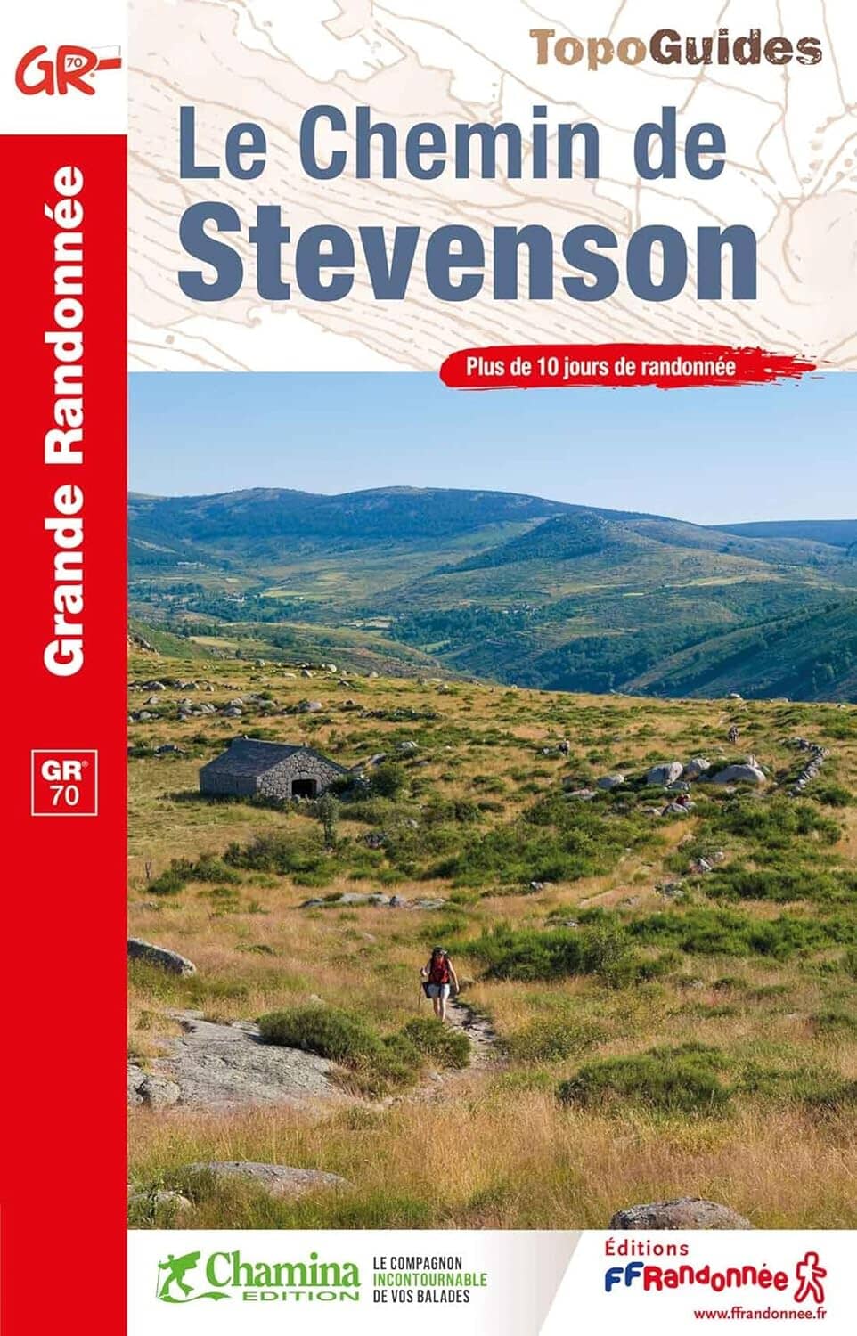
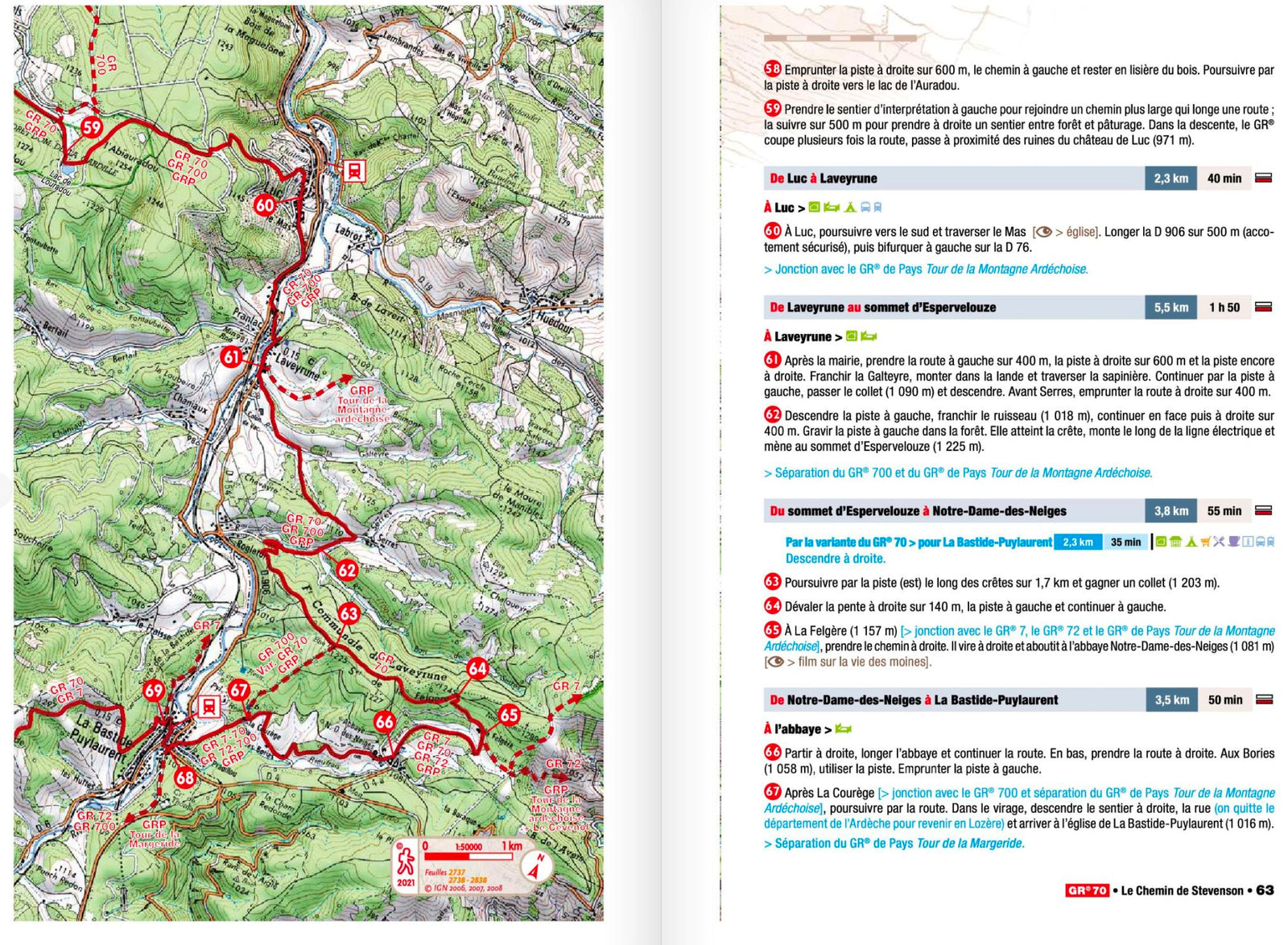
📚 Hiking guidebooks
Topoguides are essential guides for preparing your hikes: descriptions of stages, distances, elevation gains, detailed maps and practical information.
👉 See all the hiking guidebooks from the FFR (French Hiking Federation)
👉 See all Chamina Guides
🎒 Practical guides for hiking
Practical hiking guides help you better prepare for your outings and treks: choosing equipment, physical preparation, navigation, safety, and organizing your stages. They are particularly useful for beginner hikers as well as experienced walkers looking to improve their skills.
👉 Discover thePractical Hiking Guides
1812 products