The IGN TOP 25 hiking map No. 4253 ETR covers the following area: Aiguilles de Bavella, Solenzara (Corsica) in its durable version.
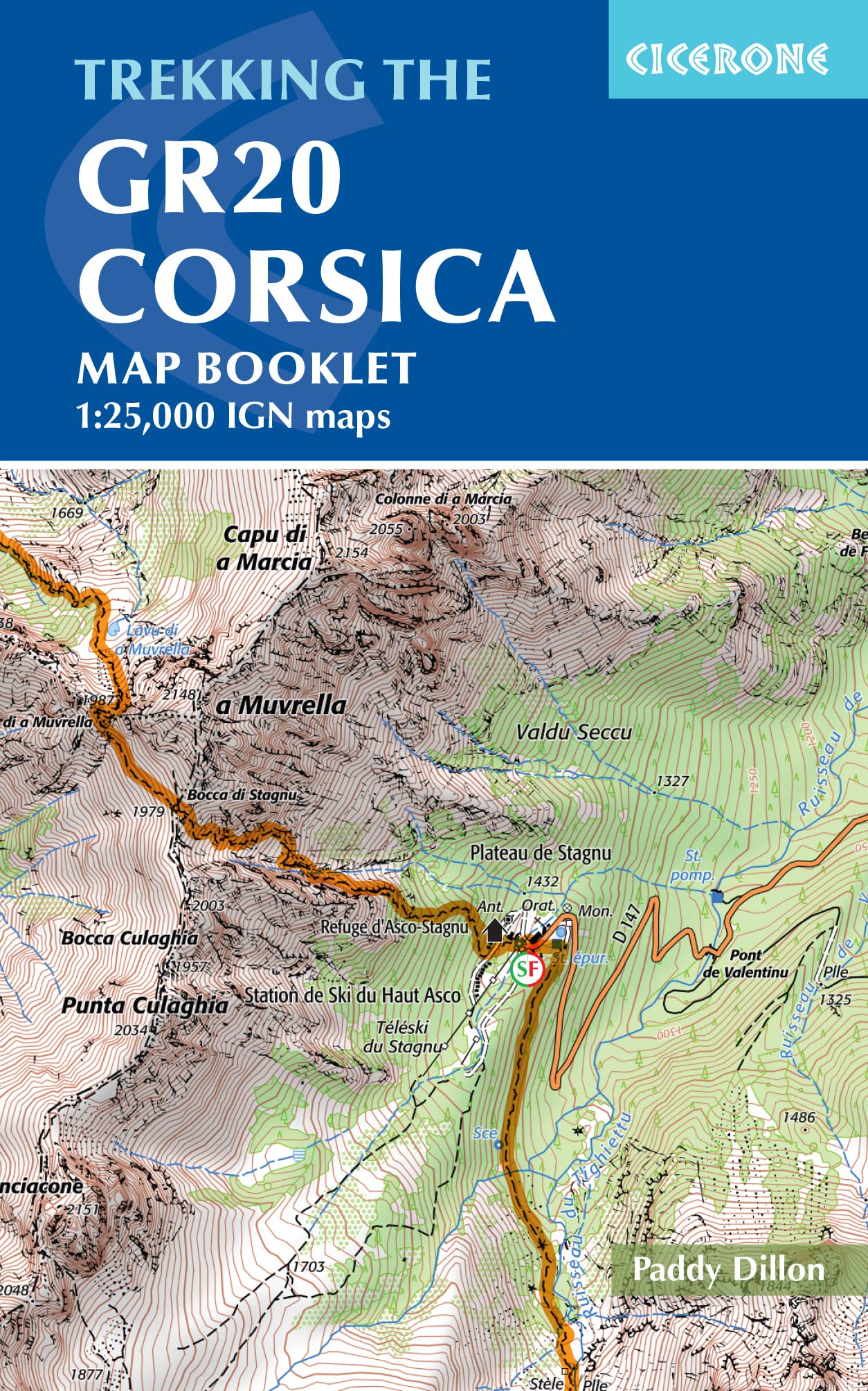
- Contour lines at 10-metre intervals.
- Detailed legend: vegetation, rocks, watercourses and more.
- Hiking trails are shown.
- Scale: 1:25,000 (1 cm = 250 m).
- GPS-compatible map.
- The map is printed on a laminated, tear-resistant material, ideal for outdoor activities.
- Double-sided map: its compact format makes it easier to handle.
Municipalities covered: Aullène, Olivese, Guitera-les-Bains, Corrano, Sari-Solenzara, Zicavo, Sampolo, Solaro, Cozzano, Serra-di-Scopamène, Zérubia, Conca, Quenza, Sorbollano, Tasso, Chisa.
Places to discover: Corsica, Vittoli Forest, Sambucu Territorial Forest, Pineta Territorial Forest, Coscione Territorial Forest, Bavella Territorial Forest, Tova Territorial Forest, Ospedale Territorial Forest, St-Antoine Territorial Forest, Monte Malo, Punta di Tintennaja, Massif de Zonza est, Plateau du Coscione, Punta di Quercitella, Monte Incudine, Bavella Pass, Vaccia Pass, Aiguilles de Bavella, Crans Castle, Bonmont Abbey, Castle, Carroz Hut, Sapins de Borsattaz, Saut du Day, Réclère Cave, Les Pralets Hut, Rochefort Hut, Signal de Roche d'Or, Trois Chalets Hut, Chalet de la Dent de Vaution, Orbe Resurgence.