Wall map (English) - Railways of the USA - 91 x 61 cm | National Geographic

Finishing
Price
Regular price 3295 €
Regular price Sale price 3295 €
/
  • In stock in France, in the USA and in the UK
    Shipped within 24 to 48h from the warehouse closest to you
  • Real-time inventory
  • Cartovia Guarantee – Delivery issue?
    We resend immediately upon receiving a simple photo.
  • In stock, ready to ship
  • Backordered, shipping soon
Tax included.

Often purchased together:

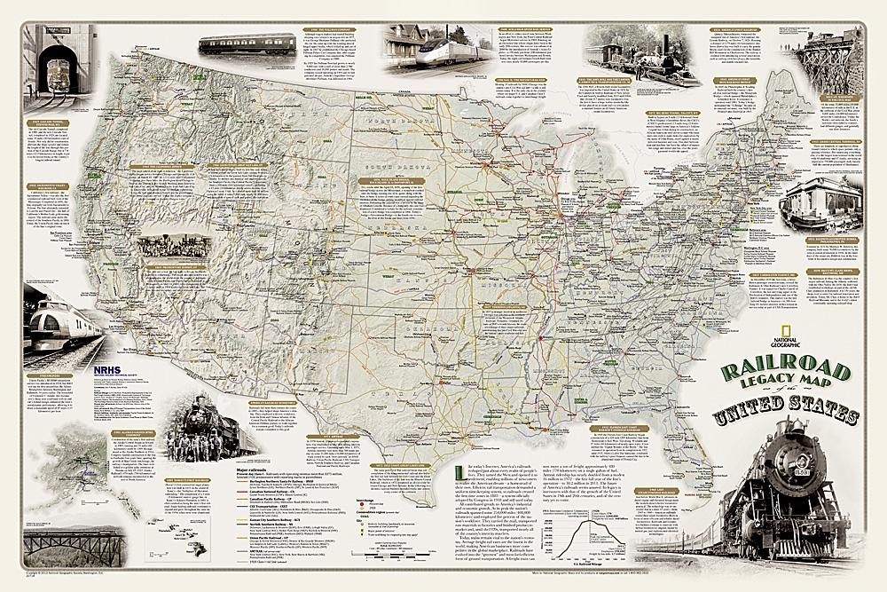
This wall map of railways in the United States, published by National Geographic, is in English and measures 91 x 61 cm.

It illustrates the impact of railways on the development of the United States, including their role in creating the time zones still used today and in the country's economic and industrial development.

The map shows current Class I railroads, Amtrak passenger lines and more than one hundred Class I railroads that were operating in 1920.

It is packaged in a rigid plastic tube and is available in paper or laminated versions.


Publication date: 2013
Printed sides: front
Unfolded dimensions: 91 x 61cm
Language(s): English