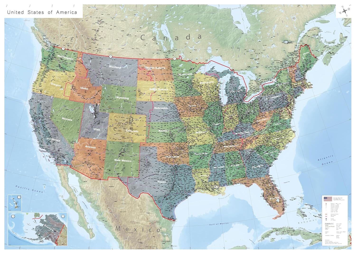
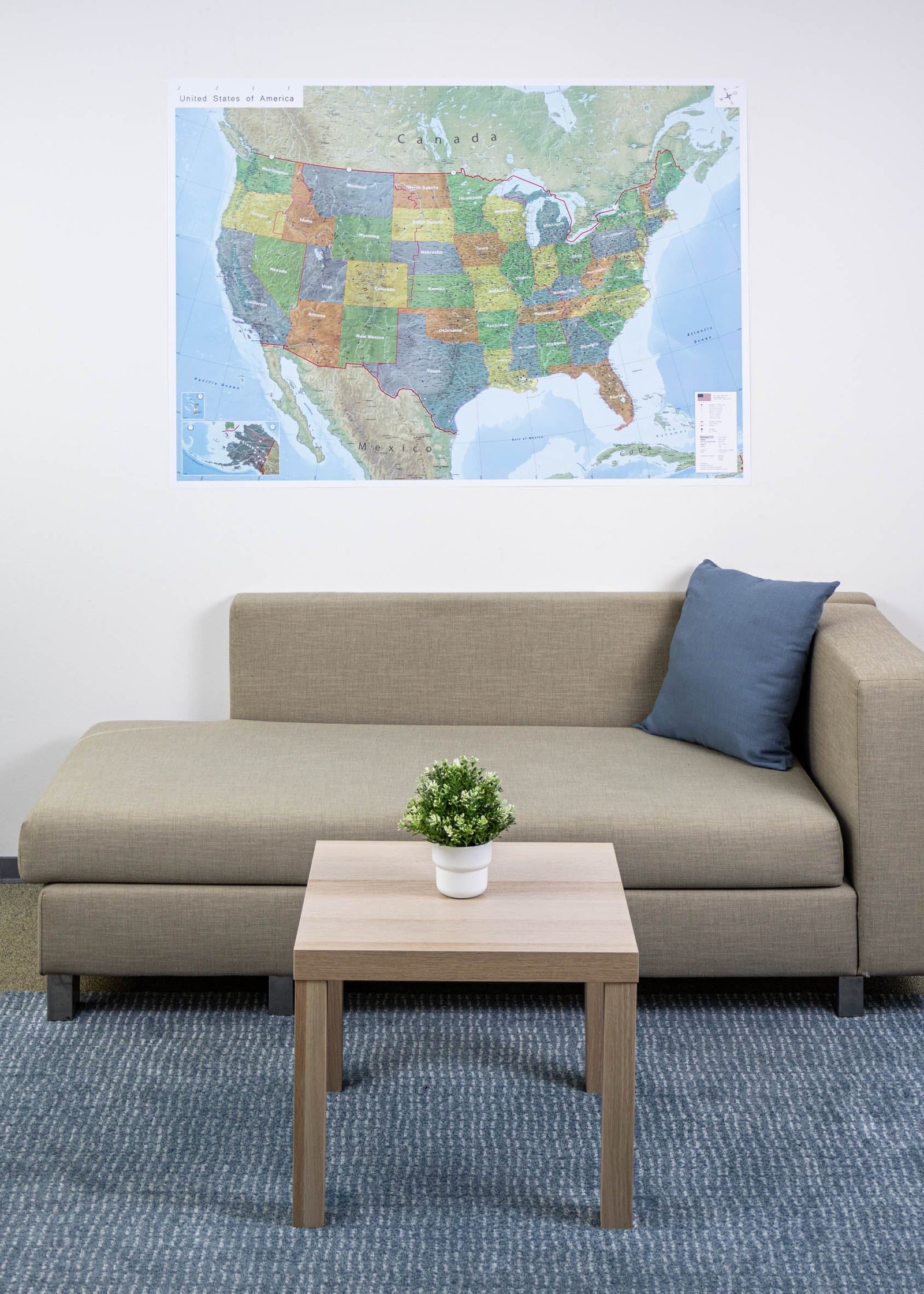
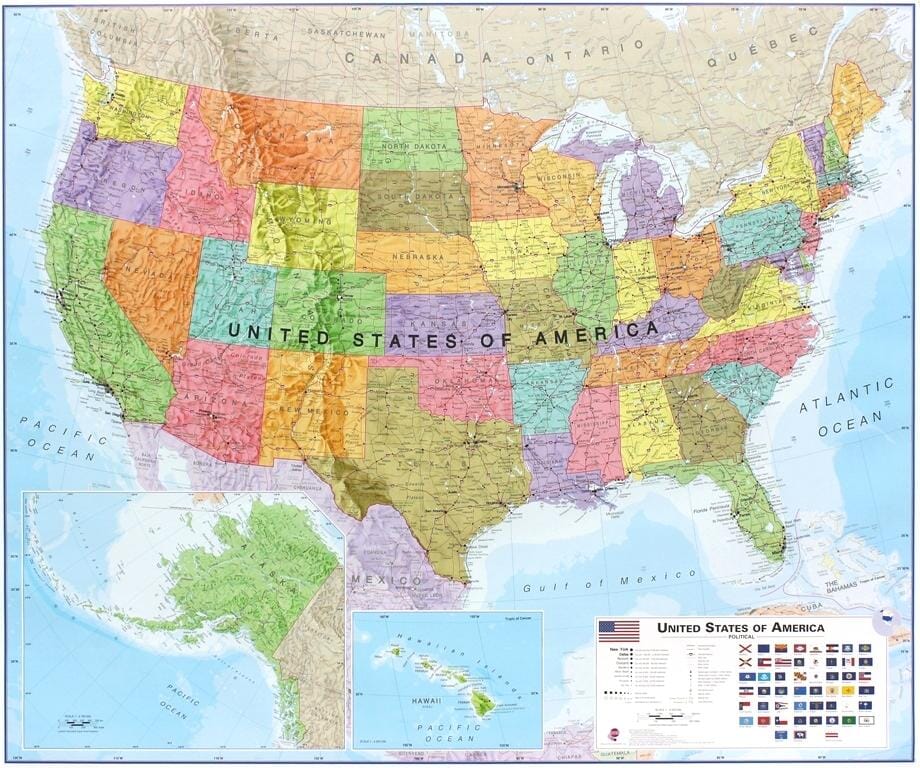
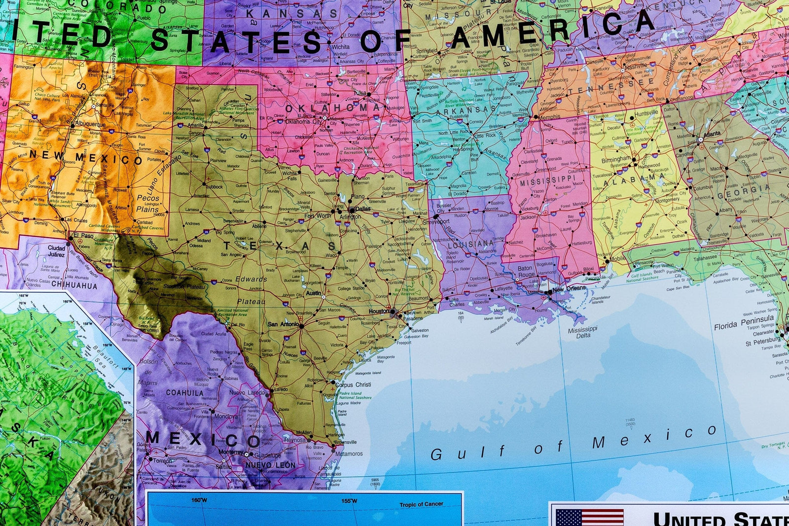
Laminated wall Map (English) - Political USA (140 x 100 cm) | GeoMetro
- Real-time inventory
-
Cartovia Guarantee – Delivery issue?
We resend immediately upon receiving a simple photo.
📦 Hard-to-find maps - worldwide shipping
📦 Hard-to-find maps & travel guides - worldwide shipping, 30-day returns
🌞 Summer travel: 20,000+ maps in stock
🌞 Plan your summer: 20,000+ maps and travel guides in stock Details →
✅ Latest editions guaranteed — since 2010
✅ Latest editions guaranteed - 180,000+ travellers equipped since 2010
Large wall map of the United States (140 x 100 cm) fully laminated with the 50 states, time zones, interstates.
This map of the United States of America shows the political division of the country with all its states.
Offset printing guarantees brilliant colors and sharp images.
The map is sent rolled in a sturdy cardboard tube.
ISBN / EAN : 09783947298280
Date de publication : 2024
Echelle : 1/4,000,000 (1cm=40km)
Impression: front
Dimensions déplié(e) : 140 x 100cm
Langue : English
Poids :
400 g
The exclusive newsletter for travel and discovery enthusiasts!