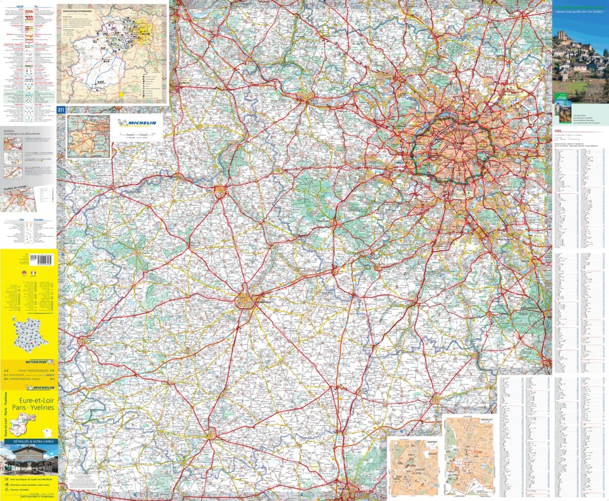
The IGN Blue Series No. 2117 hiking map covers the Voves, Sours area.
- Reference stated in the description: 2117SB.
This highly accurate topographic mapping shows every detail on the ground:
- Transport routes down to the smallest paths.
- Buildings, including individual sheds.
- Woodland, isolated trees, rivers and springs.
Contour lines show the terrain.
- Waymarked trails and tourist information are also shown.
Municipalities covered: Ver-lès-Chartres, Luisant, Villars, Barjouville, Prasville, Ymonville, Fresnay-l'Évêque, Vitray-en-Beauce, Santeuil, Réclainville, Boisville-la-Saint-Père, La Chapelle-d'Aunainville, Moinville-la-Jeulin, Voise, Denonville, Louville-la-Chenard, Allon.
Places to discover: Reverseau Castle, Parc de loisirs, Moulin de Chesnay Moutiers, Moulin Sautton, Moulin à vent.