Hiking map No. 28/2 - Verwallgruppe Center (Austrian Alps) | Alpenverein

Price
Regular price 1250 €
Regular price Sale price 1250 €
/
  • Shipped within 24 to 48h from our warehouse in France
  • Free returns (*)
  • Real-time stock levels
  • Cartovia Guarantee – Delivery issue?
    We resend immediately upon receiving a simple photo.
  • In stock, ready to ship
  • Backordered, shipping soon
Tax included.

Frequently bought together:

Explore the Verwall massif, in the heart of the Austrian Alps, with this Alpenverein topographic map at 1:25,000. An essential reference for hikers and mountaineers for over 150 years, it offers exceptionally precise cartography for confidently navigating the mountains.

Alpenverein maps are renowned for their highly detailed representation of terrain, rock faces, and glaciers. They are an indispensable tool for hiking, mountaineering, ski touring, and mountain biking.

Map Information

  • Scale: 1:25,000
  • High-precision topographic mapping
  • Detailed representation of terrain and rocky areas
  • Mountain trails and routes
  • UTM grid
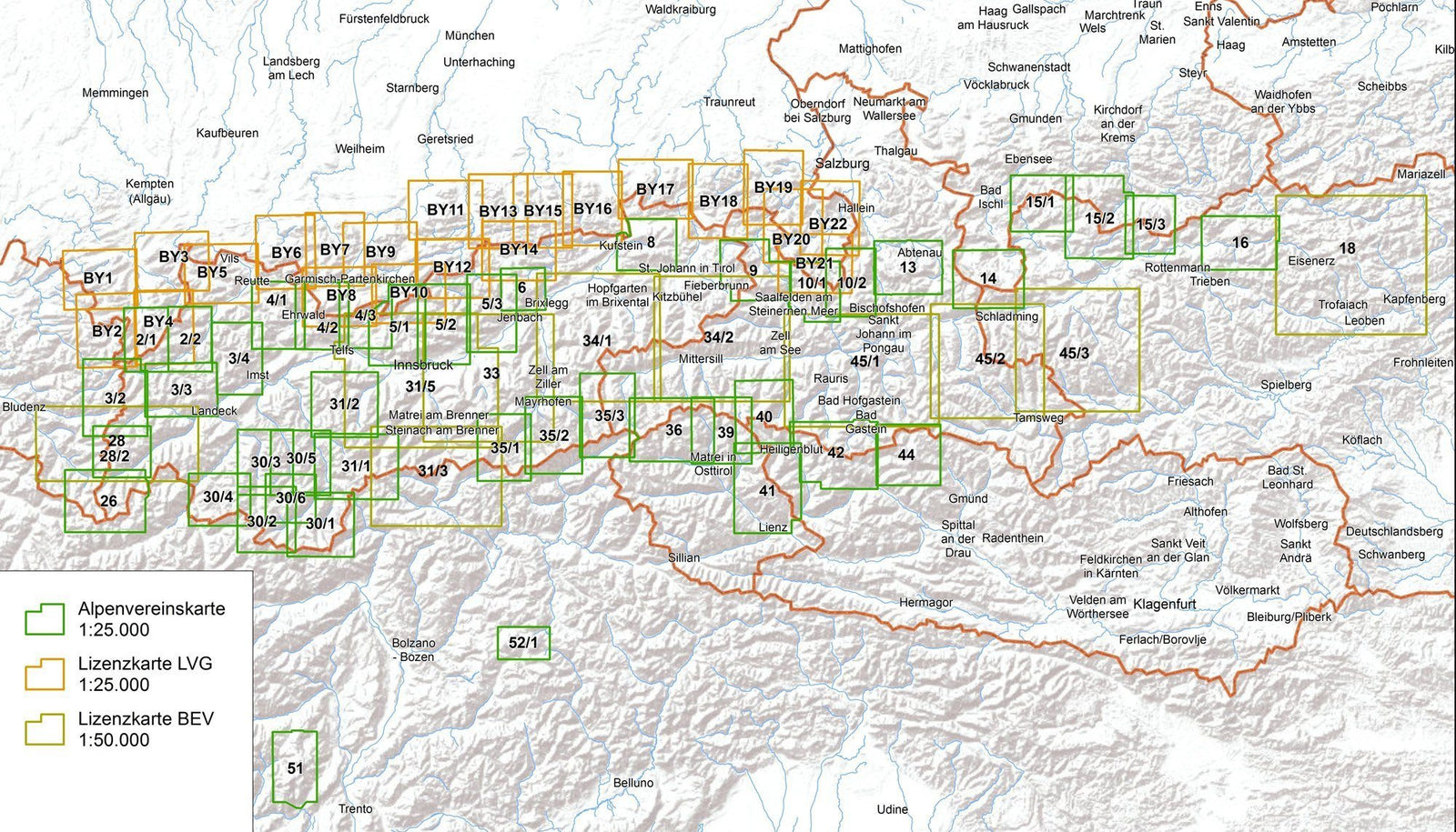
  • Map sheets connect for continuous coverage
  • Mapping regularly checked and updated by the German and Austrian Alpine Clubs

🌍 Region Covered

This map covers the central part of the Verwall massif, located between Tyrol and Vorarlberg, in western Austria.

The Verwall is appreciated for its wild valleys, peaks over 3,000 meters, high-altitude lakes, and extensive trail network, offering prime terrain for hiking, mountaineering, and ski touring.


ISBN/EAN : 9783990661321
Publication date: 2025
Scale: 1/25,000 (1cm=250m)
Printed sides: front
Folded dimensions: 21 x 13 x 0.6cm
Language(s): German
Weight: 82 g