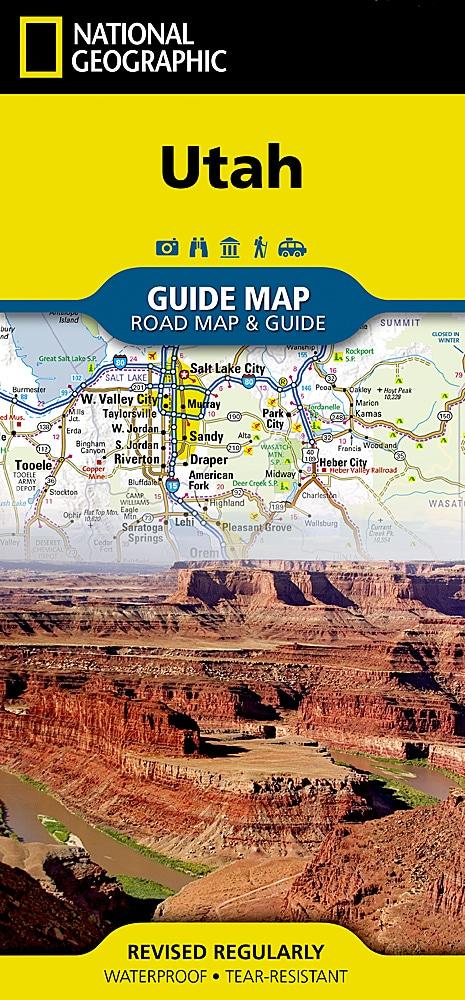
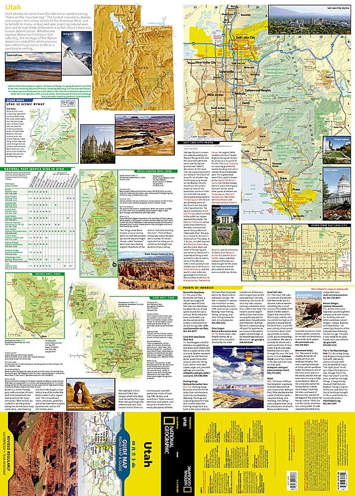
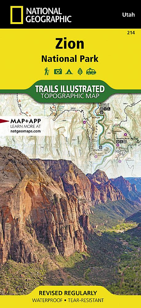
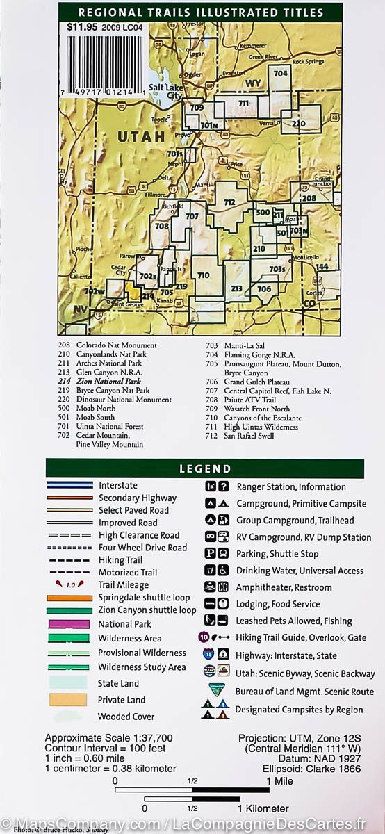
Trail map of the High Uintas, Utah, published by National Geographic. The Trails Illustrated map covers High Uintas Wilderness and Ashley and Wasatch-Cache National Forests, with alpine scenery, glacial lakes and Utah's highest peaks.
Expertly researched and created with local land management agencies, it highlights Mirror Lake, Kings Peak, Sheep Creek Canyon Geological Area and sections of the Yellowstone, Uinta and Duchesne Rivers.
Hundreds of kilometres of mapped trails guide exploration. A practical chart lists every trailhead, the number of parking spaces and available facilities, including horse ramps, corrals, water, toilets and developed campsites. Snowmobile and mountain biking trails, four-wheel-drive routes and major roads are clearly shown.
The base map gives contours and elevations for summits, passes and many lakes. Wilderness regulations and safety advice help visitors prepare their trip.
Other mapped features include Ashley National Forest, High Uintas Wilderness, Kings Peak, Marsh Peak, Mount Lovenia, Uinta National Forest and Wasatch National Forest.
Waterproof and tear-resistant. Scale: 1:75,000.