Southwestern Ontario Road Map | MapArt
- Free returns (*)
- Real-time stock levels
-
Cartovia Guarantee – Delivery issue?
We resend immediately upon receiving a simple photo.
📦 Hard-to-find maps - worldwide shipping
📦 Hard-to-find maps & travel guides - worldwide shipping, 30-day returns
✅ Latest editions guaranteed — since 2010
✅ Latest editions guaranteed - 180,000+ travellers equipped since 2010
🗺️ 2027 trips: 20,000+ maps in stock
🗺️ Planning your 2027 trips: 20,000+ maps and travel guides in stock Details →
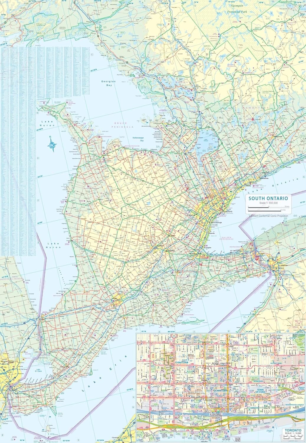
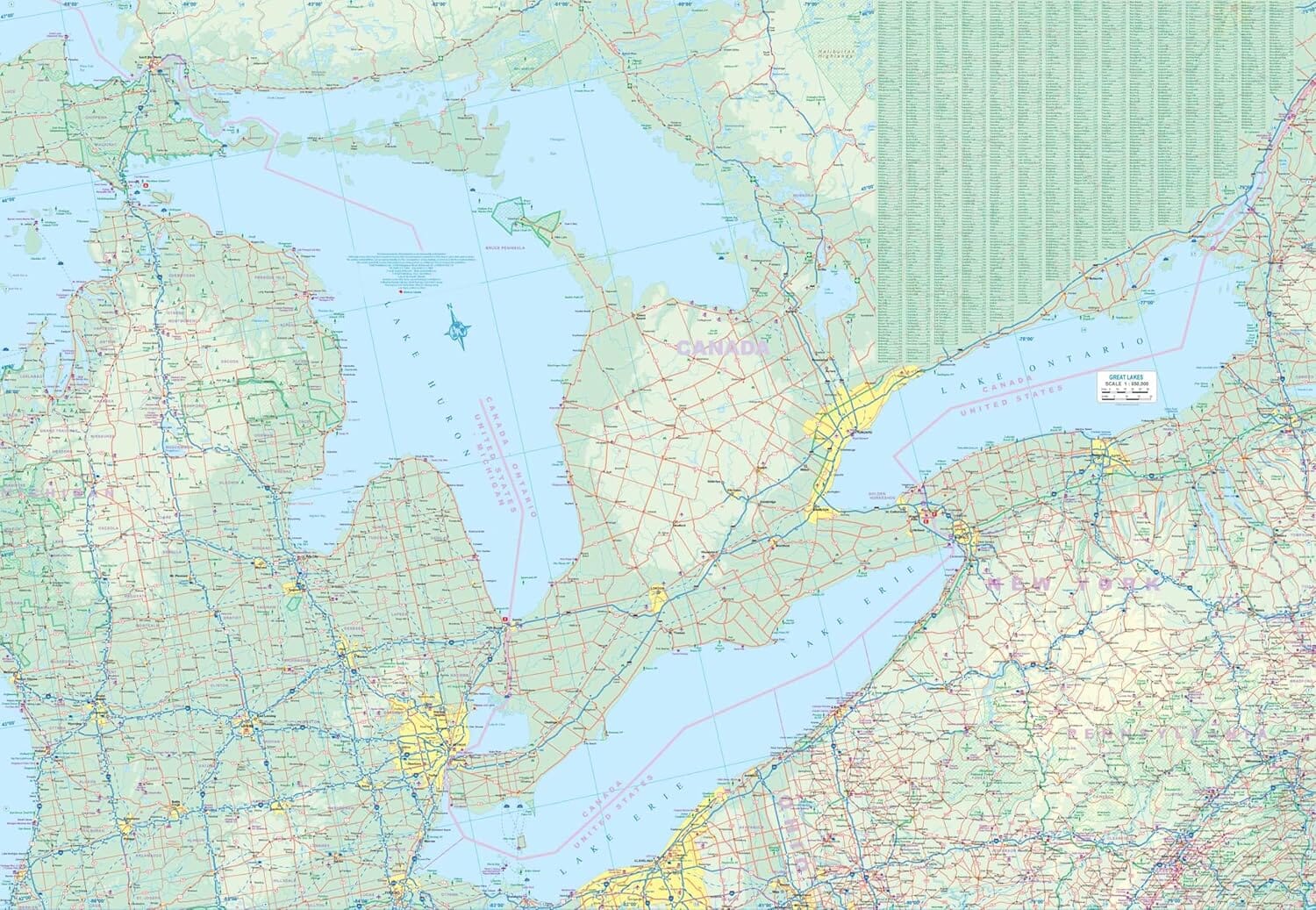
This folded Southwestern Ontario road map shows the region at a scale of 1:250,000, with a legend, community index and road index.
It includes 1:25,000 downtown maps of London, Owen Sound, Sarnia, Stratford and Windsor.
The regional map shows highways, exits, paved and unpaved roads, service centres, toll bridges, airports, VIA Rail stations, locks, ferries, hospitals, viewpoints, rest areas, campgrounds, skiing, hiking, golf, boat launches, marinas, docks, lighthouses, UNESCO sites, historic sites, bird sanctuaries, beaches and trails.
ISBN/EAN : 9781553682202
Publication date: 2018
Folded dimensions: 9 inches x 4 inches (22 x 10 cm)
Unfolded dimensions: 39 inches x 27 inches (99 x 68 cm)
Language(s): English
Weight:
1.8 oz
The exclusive newsletter for travel and discovery enthusiasts!