Hiking map No. 129 - Monte Baldo (Italy) | Kompass

Price
Regular price 1575 €
Regular price Sale price 1575 €
/
  • Shipped within 24 to 48h from our warehouse in France
  • Free returns (*)
  • Real-time stock levels
  • Cartovia Guarantee – Delivery issue?
    We resend immediately upon receiving a simple photo.
  • Low stock - 1 item left
  • Backordered, shipping soon
Tax included.

Frequently bought together:

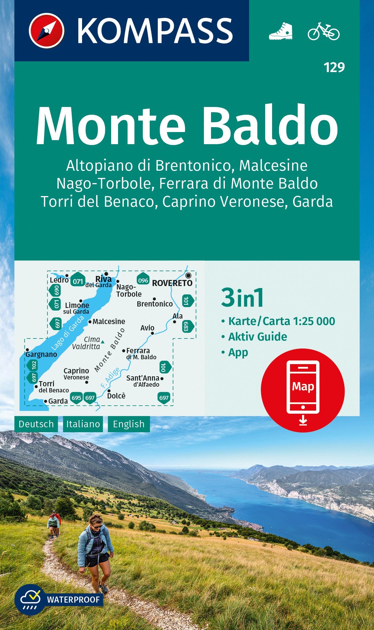
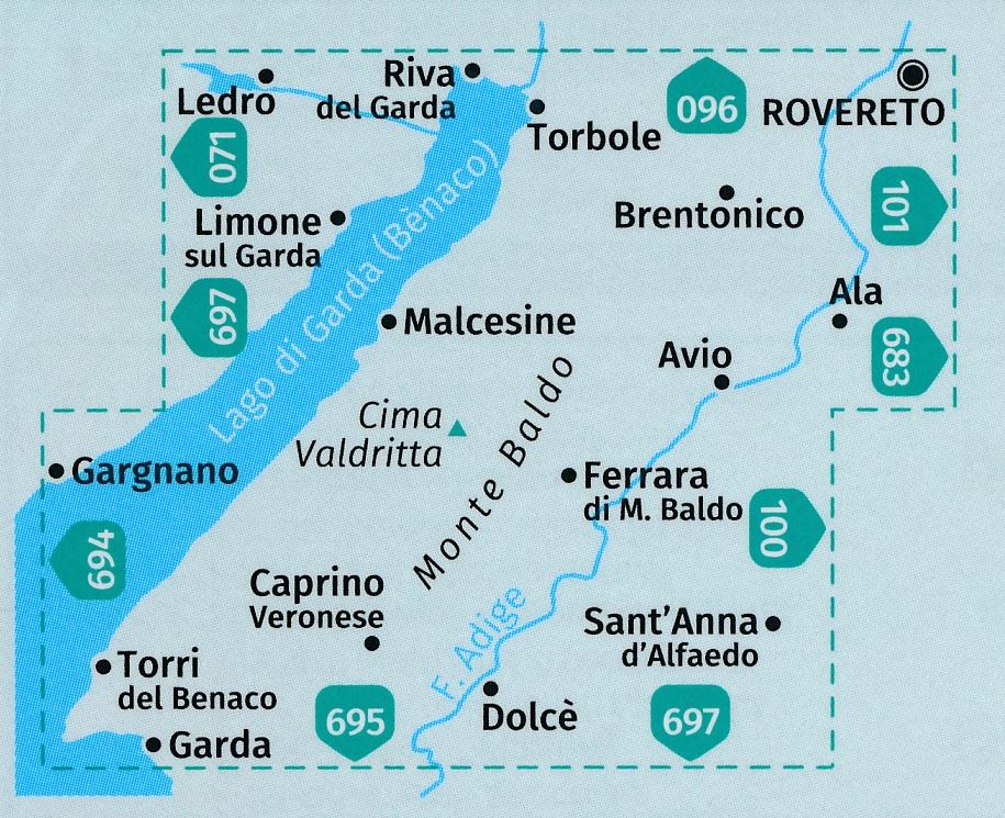
The Kompass Monte Baldo hiking map covers the Lake Garda area, including Malcesine, Nago-Torbole and Garda. At 1:25,000, it provides a level of detail ideal for walking, mountain biking and outdoor activities.

Its detailed, regularly updated mapping makes navigation and route planning easy. It identifies waymarked trails, cycle paths, via ferrata routes and tourist facilities, while clearly depicting the relief.

Features

  • Scale: 1:25,000 (1 cm = 250 m)
  • Area covered: Monte Baldo, Malcesine, Nago-Torbole, Garda (Italy)
  • Official hiking trails with names and numbers
  • Cycle and mountain biking routes
  • Activities: via ferrata, downhill skiing and cross-country skiing
  • Practical information: mountain huts, inns, car parks and transport (bus and train)
  • Points of interest: springs, swimming areas and natural sites
  • Detailed relief: contour lines, rocks, vegetation and shading
  • Tear-resistant and weather-resistant paper
  • Compatible with the Kompass app for offline use
  • Includes Aktiv Guide (additional booklet)

Area covered

Rising above Lake Garda, Monte Baldo is renowned for its exceptional flora and spectacular views. Mountains, olive groves and lakeshores offer varied landscapes and routes, reaching Cima Valdritta (2,218 m), the massif's highest point.


ISBN/EAN : 9783991544760
Publication date: 2026
Scale: 1/25,000 (1cm=250m)
Folded dimensions: 11 x 19cm
Language(s): multilingual
Weight: 112 g