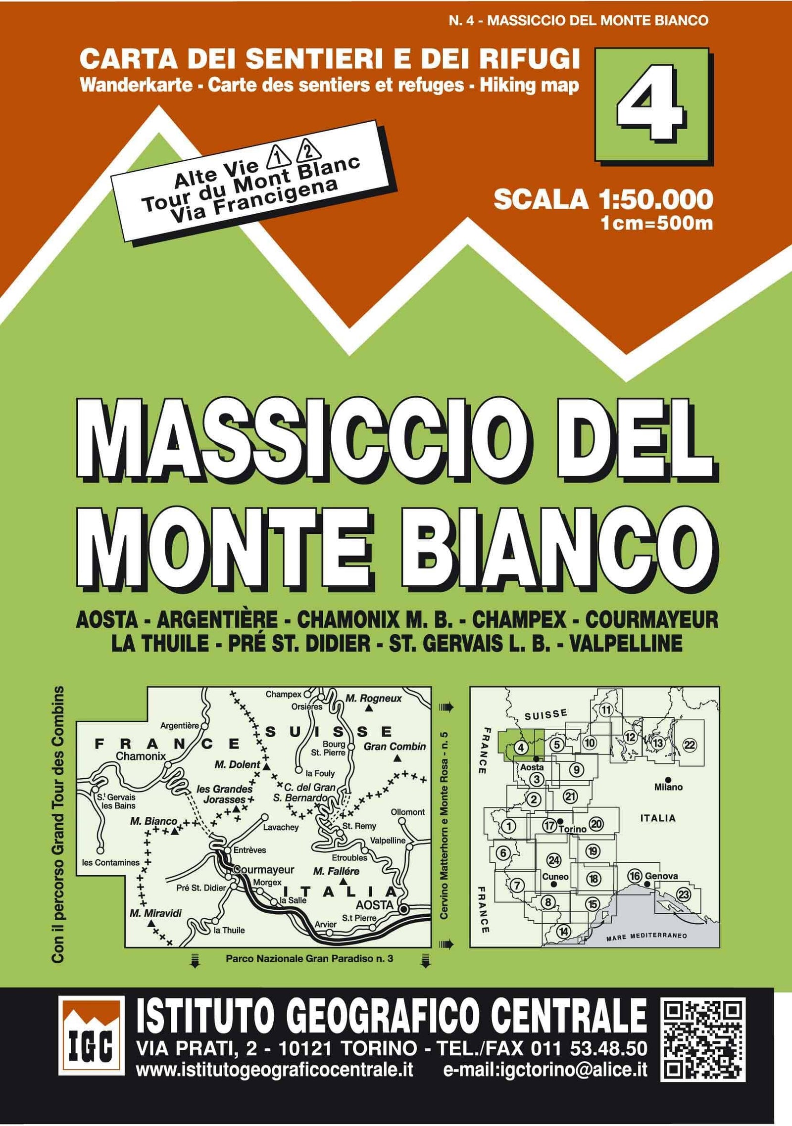
Hiking map No. 4 - Mont Blanc massif | Istituto Geografico Centrale - 1:50,000

Price
Regular price 1450 €
Regular price Sale price 1450 €
/
  • Ships within 5 to 8 working days
    (Currently in transit to our warehouse in France)
  • Cartovia Guarantee – Delivery issue?
    We resend immediately upon receiving a simple photo.
Tax included.

Often purchased together:

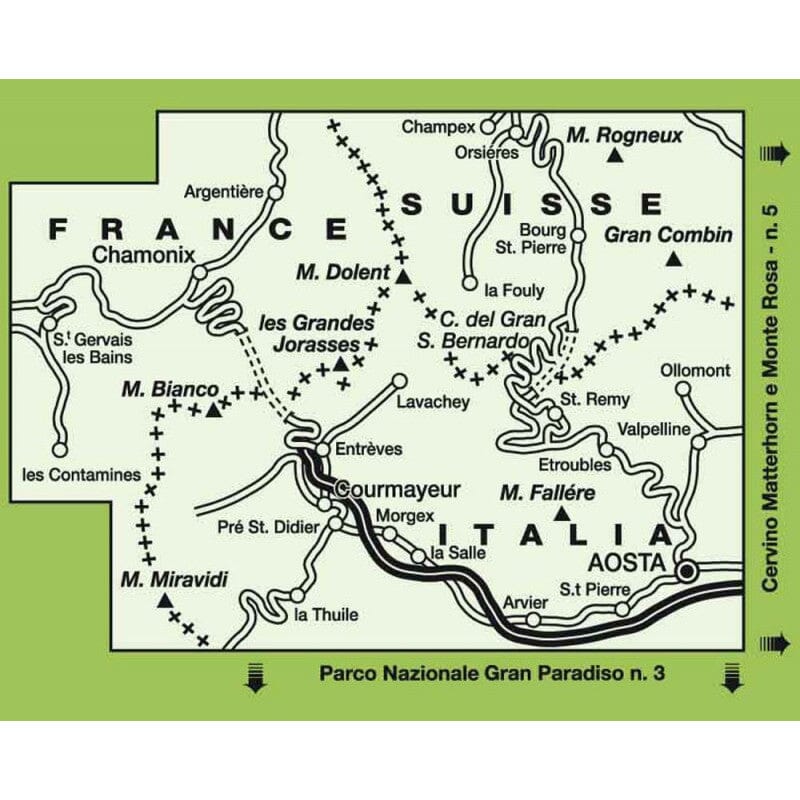
This hiking map covers Mont Blanc massif.

Hiking map of the Mont Blanc massif at 1:50,000, showing Haute Route 1 and 2, the Tour du Mont Blanc, Tour des Combins and Via Francigena, as well as local trails, long-distance routes, mountain accommodation and more. Published by the Turin-based Istituto Geografico Centrale, whose maps cover the Italian Alps and Piedmont, the lakes and northern Lombardy, and the Italian Riviera.

Includes the following areas

Aosta - Argentiere - Chamonix - Champex - Courmayeur - La Thuile - Pre St.Didier - St.Gervais - Valpelline

The maps have contour lines at 50 m intervals, enhanced by shading and graphic relief. An overprint highlights local trails and long-distance routes, including the GTA (Grande Traversata delle Alpi), Via Alpina, Tour Monte Rosa and Alta Via del Monti Liguri, the high-level route along the Ligurian Alps. Difficult sections and via ferrata passages are indicated. New editions now include an overprint highlighting cycle routes where this is specified in the individual map description.


ISBN/EAN : 9788896455043
Publication date: 2013
Scale: 1/50,000 (1cm=500m)
Folded dimensions: 12x22cm
Unfolded dimensions: 29.53 x 40.55 inches / 75 x 103cm
Language(s): French, English, German, Italian
Weight: 90 g