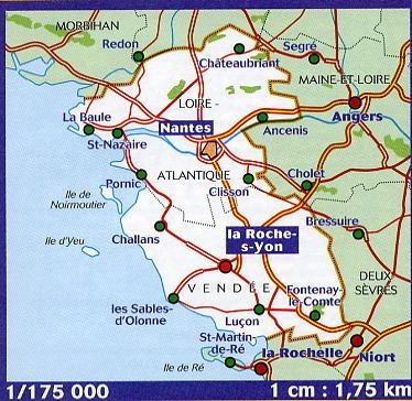
The IGN Blue Series No. 1428 hiking map covers the Marans, Maillezais, Vix area.
- Reference stated in the description: 1428SB.
This highly accurate topographic mapping shows every detail on the ground:
- Transport routes down to the smallest paths.
- Buildings, including individual sheds.
- Woodland, isolated trees, rivers and springs.
Contour lines show the terrain.
- Waymarked trails and tourist information are also shown.
Municipalities covered: Fontenay-le-Comte, Villedoux, Les Velluire-sur-Vendée, Saint-Pierre-le-Vieux, Vouillé-les-Marais, Sainte-Radégonde-des-Noyers, Le Langon, Moreilles, Saint-Martin-de-Fraigneau, Maillé, Damvix, Doix-lès-Fontaines, Maillezais, La Ronde, Taugon, Montreuil, Vix, Saint-Cyr-des-Gâts.
Places to discover: Marais poitevin Regional Nature Park, les Oiseaux du Parc naturel régional Marais poitevin, Logis du 17, Usine Mathieu, le Gouffre, Embarcadère des Écluses de Bazoin, Croix hosannière.