Hiking map no. 782 - French Broad & Nolichucky Rivers, Cherokee & Nantahanla National Forests (Tennessee, North Carolina)| National Geographic

Price
Regular price 1590 €
Regular price Sale price 1590 €
/
  • In stock in the USA and in the UK
    Shipped within 24 to 48h from the warehouse closest to you
  • Customs duties may apply on import to your country
  • Free returns (*)
  • Real-time stock levels
  • Cartovia Guarantee – Delivery issue?
    We resend immediately upon receiving a simple photo.
  • In stock, ready to ship
  • Backordered, shipping soon
Tax included.

Frequently bought together:

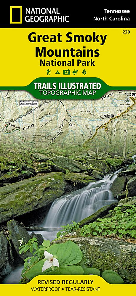
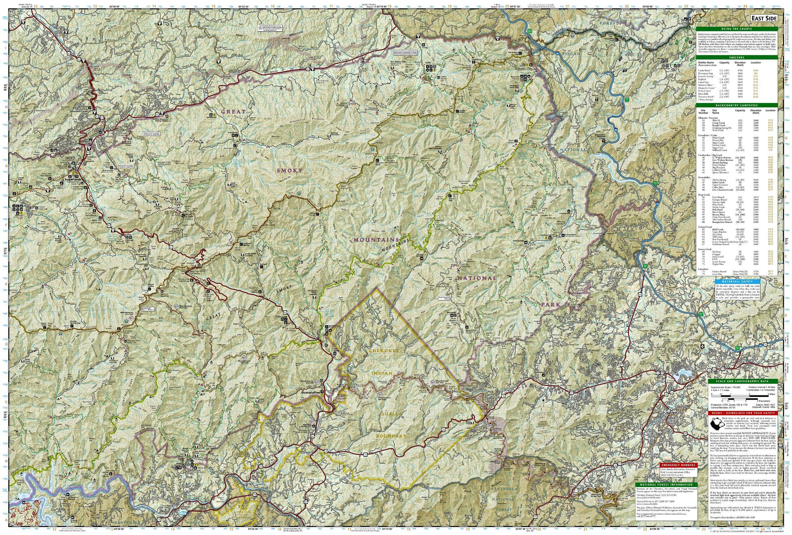
Hiking map of the French Broad and Nolichucky Rivers in Cherokee and Nantahanla National Forests, Tennessee and North Carolina, published by National Geographic. It provides comprehensive recreation coverage of Cherokee National Forest's northern districts and the French Broad and Nolichucky River area in Tennessee.

Coverage includes Cherokee National Forest / Northern Districts; Greenville and Newport; Sampson Mountain Wilderness Area; boating access on the Nolichucky and French Broad Rivers; Foothills Parkway; and the Appalachian Trail.

  • Trails, trailheads, points of interest and campsites included.
  • Waterproof and tear-resistant.
  • Scale: 1:63 360.


ISBN/EAN : 9781566953870
Publication date: 2022
Scale: 1:63.360 (1cm is 633.6m)
Printed sides: both sides
Language(s): English
Weight: 95 g