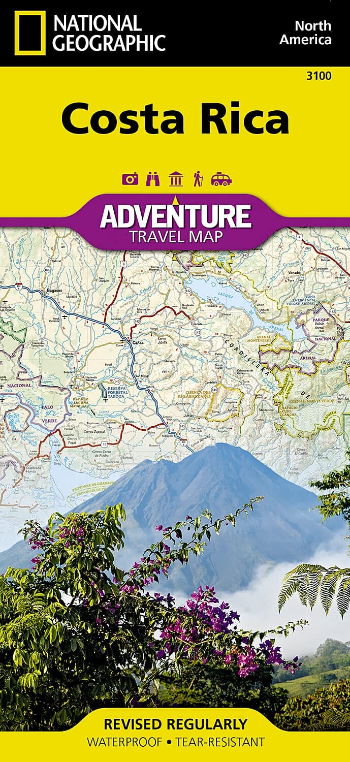
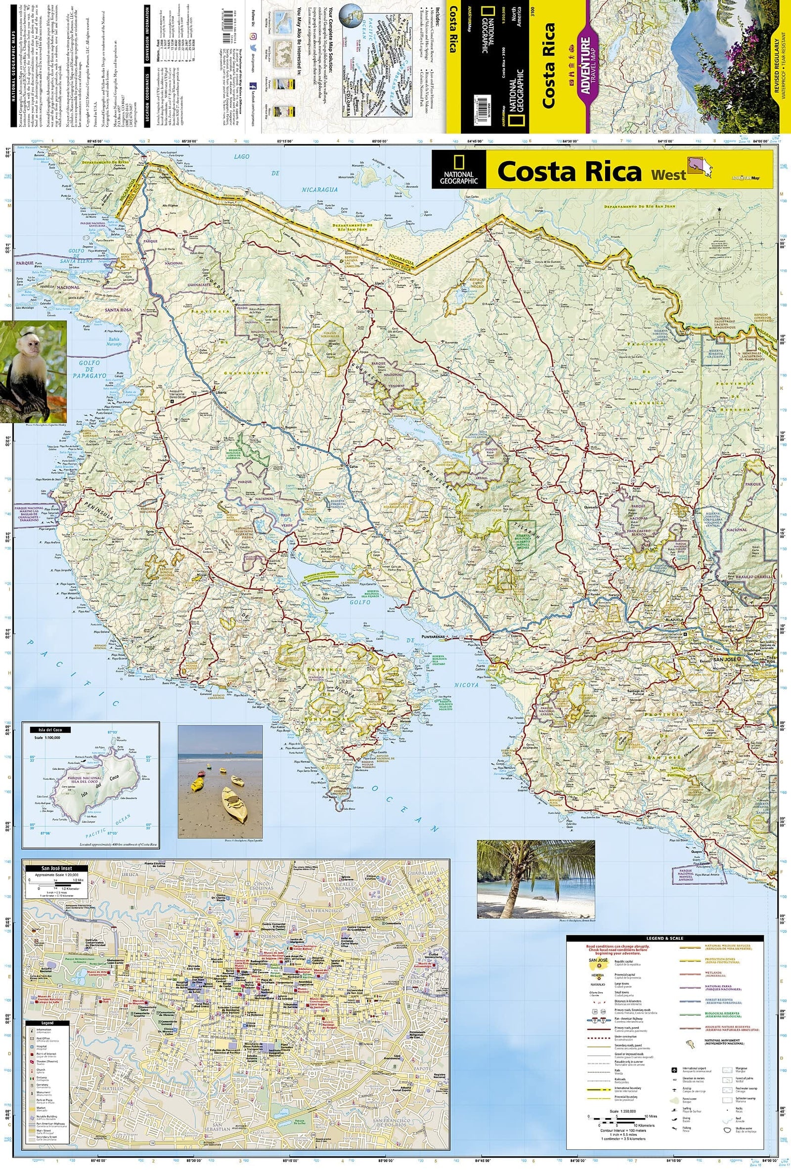
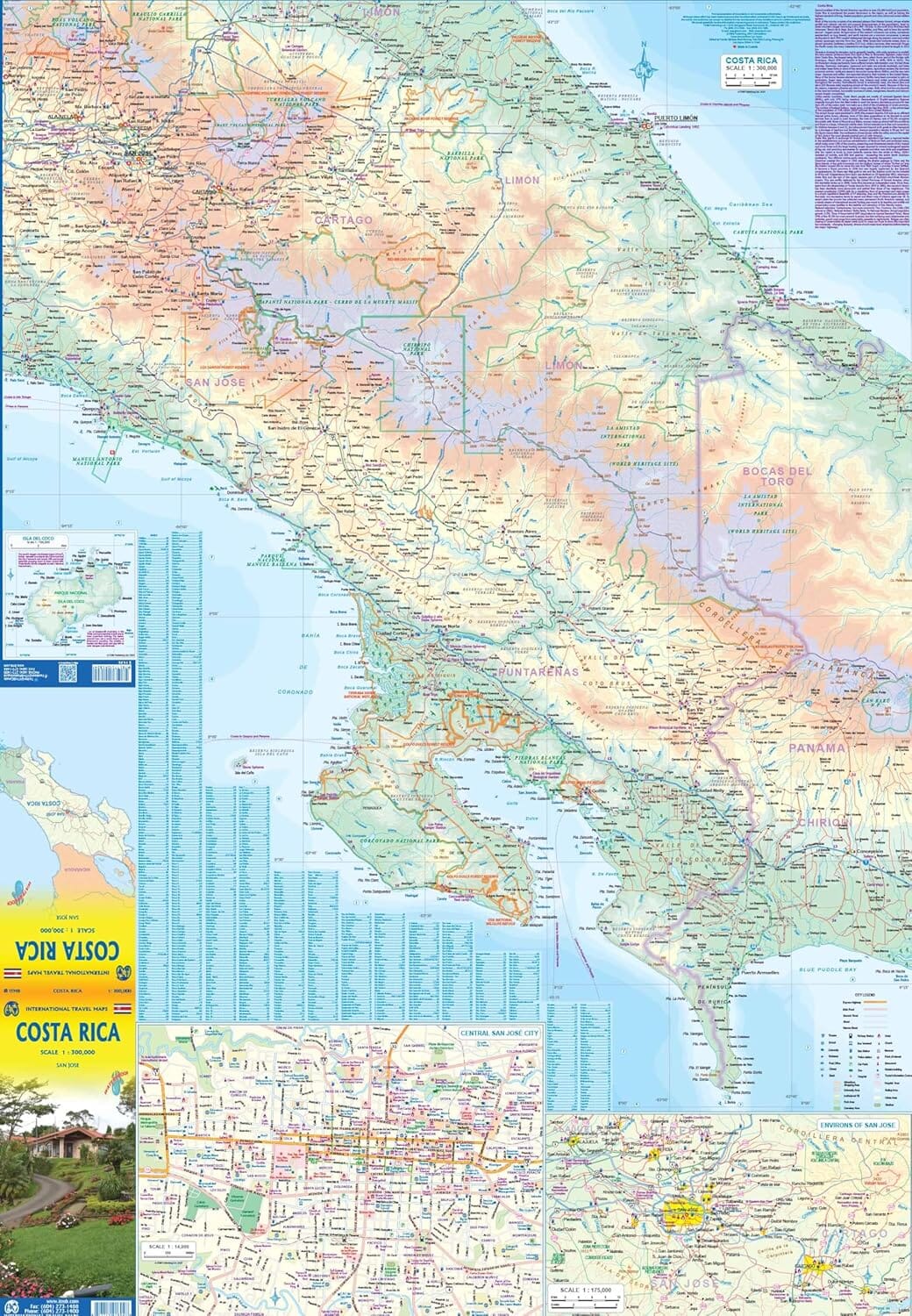
This road and travel map of Costa Rica from Toucan Maps is durable and water-resistant. It includes enlarged maps of Arenal, Monteverde, Manuel Antonio and more than a dozen other popular destinations.
Roads are differentiated by colour and line width, from divided, limited-access highways to seasonal 4x4 tracks. Clear locations and indexes help find towns and villages, national parks and natural areas, beaches, rivers, peaks, volcanoes, waterfalls, and a selection of hotels, lodges, resorts, restaurants and activities.
The publisher presents it as the only printed street-level map of the entire Central Valley, from the international airport to San Jose.
- Detailed maps of Arenal/Fortuna, Alajuela, Escazu, Heredia, Manuel Antonio/Quepos, Monteverde/Santa Elena, Playa Jaco, Playa Tamarindo/Langosta, Puerto Jimenez and Tenorio/Celeste.
- Special symbols for Costa Rican activities: zip lines, hanging bridges, butterfly gardens, waterfall rappelling, rainforest horse riding, scuba diving, deep-sea fishing, golf, white-water rafting, trails and other activities.
- Driving-distance chart and mini-map for calculating travel distances and estimating driving times.
The high-tech synthetic paper is lightweight, durable and fully waterproof. The publisher even suggests using it as an emergency umbrella.
An inset supplies a few dozen useful words and phrases translated from English into Spanish, including ways to ask for the best route or ask someone to show it on the map.