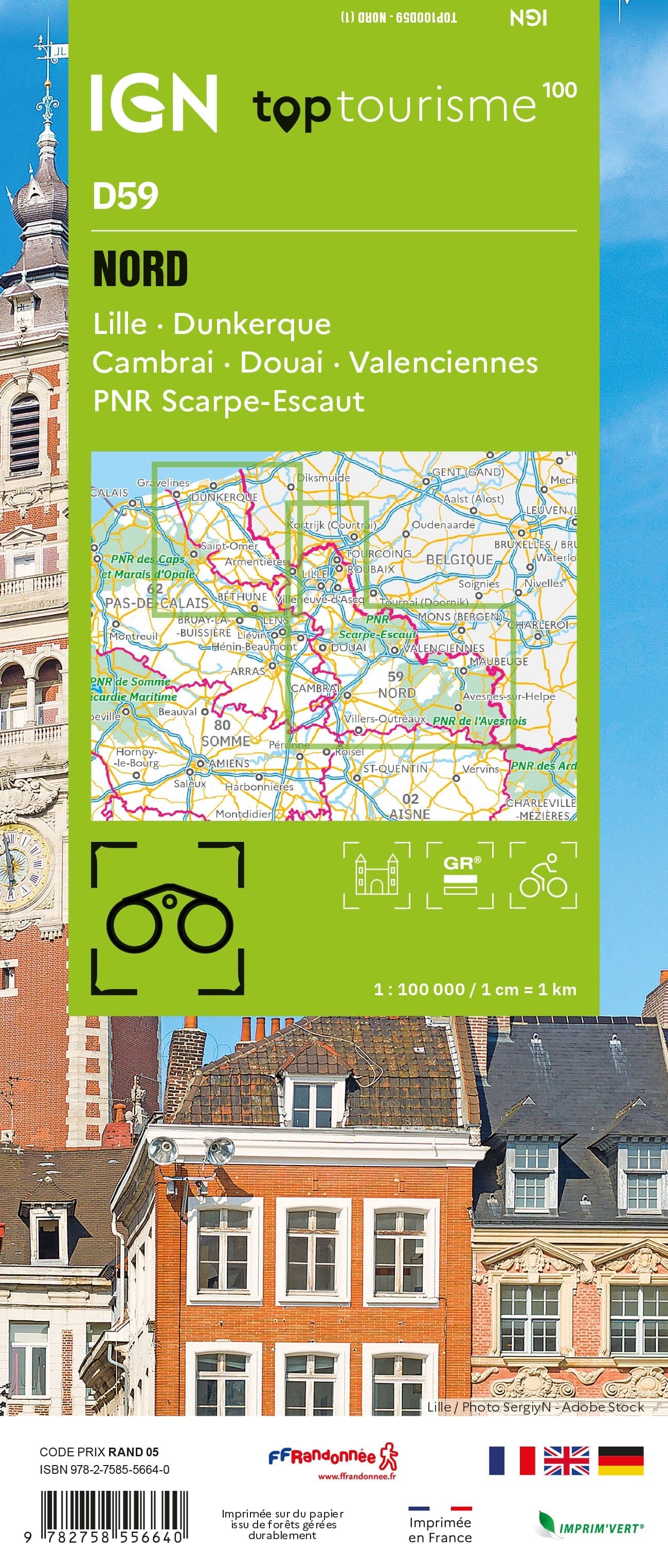
This IGN Blue Series No. 2402 hiking map provides mapping of the Hondschoote, Bergues area.
This highly accurate topographic mapping shows every detail on the ground:
- Transport routes down to the smallest paths.
- Buildings, including individual sheds.
- Woodland, isolated trees, rivers and springs.
Contour lines show the terrain.
Municipalities covered: Bissezeele, Coudekerque-Branche, Crochte, Hondschoote, Bambecque, Rexpoëde, Hoymille, Leffrinckoucke, Quaëdypre, West-Cappel, Killem, Oost-Cappel, Warhem, Wylder, Socx, Bierne, Bray-Dunes, Zuydcoote, Ghyvelde, Téteghem-Coudekerque-Village, Uxem, Bergues.
Places to discover: Moulin de la Victoire, Beauvoorde, Grande-Place, Moulin du Nord, Beffroi, Dune Marchand Nature Reserve, Réserve de West-Hock.