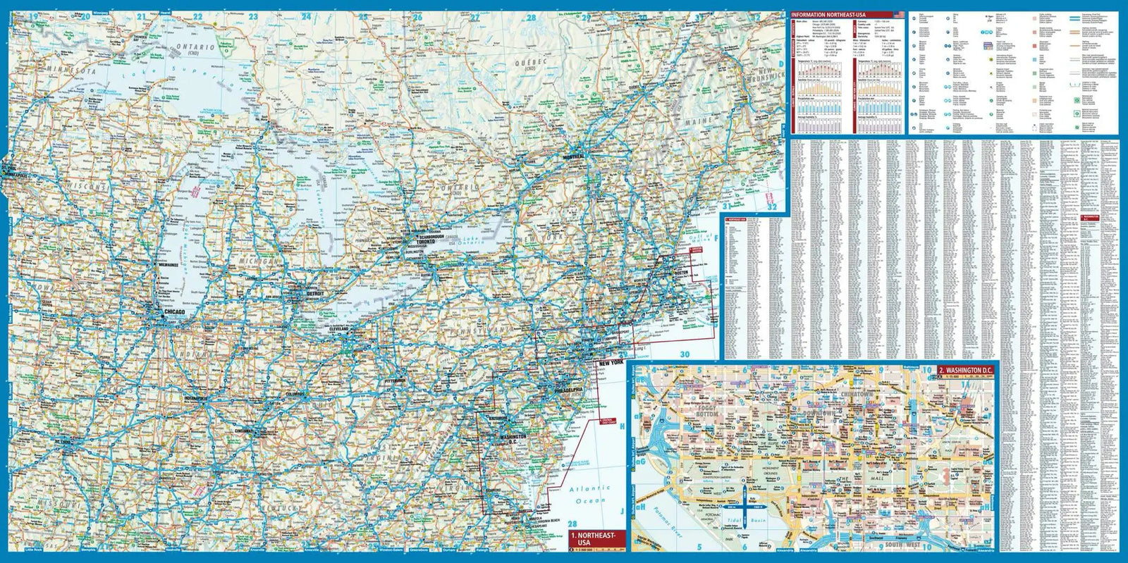
This hiking map no. 755 focuses on Catskill Park, New York.
National Geographic's Trails Illustrated map of Catskill Park combines valuable recreation information with detailed coverage of a park encompassing 700,000 acres of forests, mountains, rivers and lakes.
Created with the Adirondack Mountain Club (ADK), which supplied trail information from its Forest Preserve trail guide series, the map is useful in every season. Highlights include Ashokan, Pepacton and Schoharie Reservoirs, Belle Ayr Mountain, Slide Mountain Wilderness, Campbell Mountain and Mongaup Pond. The printed map includes a detailed North/South Lake inset.
A trail chart lists locations, distances, designated uses and difficulty levels for dozens of routes. Distances between junctions are shown, and the base map gives contours and elevations for summits, passes and many lakes. Shawangunk Mountain Scenic Byway is marked for travel by car.
Public fishing easements, footbridges, swimming areas, snowmobile parking, boat ramps, covered bridges, waterfalls, ski areas and other points of interest are clearly shown.
Printed on waterproof, tear-resistant "Backcountry Tough" paper, the map includes a full UTM grid for GPS navigation.
Other mapped features include Ashokan Reservoir, Black Dome, Blackhead, the Catskill Mountains, Cornell Mountain, Doubletop Mountain, Graham Mountain, Hunter Mountain, Kingston, Peekamoose Mountain, Pepacton Reservoir, Plateau Mountain, Rondout Reservoir, Slide Mountain, Table Mountain, Thomas Cole Mountain, Vly Mountain, Wawarsing and West Kill Mountain.