Waterproof tourist map - Swellendam to Mossel Bay (South Africa) | Tracks4Africa

Price
Regular price 2650 €
Regular price Sale price 2650 €
/
  • Shipped within 24 to 48h from our warehouse in France
  • Free returns (*)
  • Real-time stock levels
  • Cartovia Guarantee – Delivery issue?
    We resend immediately upon receiving a simple photo.
  • In stock, ready to ship
  • Backordered, shipping soon
Tax included.

Frequently bought together:

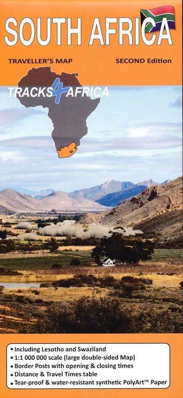
Tracks4Africa's Swellendam to Mossel Bay tourist map combines two maps printed on opposite sides of a single sheet of Duraflex paper.

The two maps extend from Swellendam in the west to Mossel Bay and Oudtshoorn in the east. The coastline forms the southern boundary. The northern coverage includes Anysberg Reserve, parts of the N1 and Prince Albert.

  • Areas of interest: Overberg, Klein Karoo along the R62, the Garden Route and De Hoop and Swartberg nature reserves.
  • Main places: Swellendam, Barrydale, Ladismith, Heidelberg, Prince Albert, Oudtshoorn, Still Bay, Calitzdorp and Mossel Bay.

Waterproof, tear-resistant material.


ISBN/EAN : 9781776322756
Publication date: 2023
Scale: 1/200,000 (1cm=2km)
Folded dimensions: 23 x 16.5 x 0.5 cm
Language(s): English
Weight: 139 g