Waterproof tourist map - Baviaanskloof Mega-Reserve (South Africa) | Tracks4Africa

Price
Regular price 2650 €
Regular price Sale price 2650 €
/
  • Shipped within 24 to 48h from our warehouse in France
  • Free returns (*)
  • Real-time stock levels
  • Cartovia Guarantee – Delivery issue?
    We resend immediately upon receiving a simple photo.
  • In stock, ready to ship
  • Backordered, shipping soon
Tax included.

Frequently bought together:

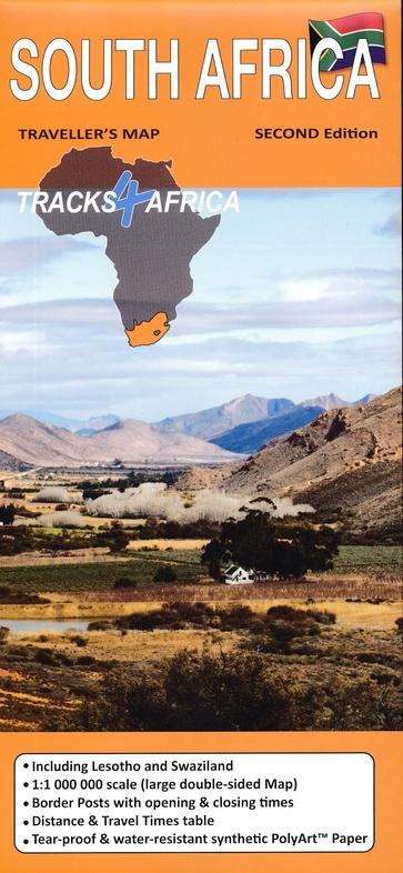
Explore the Baviaanskloof Mega-Reserve in South Africa with this Slingsby tourist map, printed double-sided on waterproof and tear-resistant material.

The map provides a detailed representation of the Baviaanskloof Wilderness Area, located inland, east of the Garden Route. The relief is clearly indicated through 20-meter contour intervals and numerous spot heights.

Map information

  • Double-sided printed map
  • Waterproof and tear-resistant material
  • Contour lines every 20 meters
  • Numerous spot heights
  • Roads classified by surface type
  • 4x4 trails
  • Private sections
  • Fuel stations
  • Mountain passes
  • Intermediate distances on main routes
  • Railway lines and stations
  • Main hiking trails
  • Reserve boundaries
  • Latitude and longitude lines at one-minute intervals
  • GPS points at main road intersections

Services and points of interest

  • Accommodation
  • Police stations
  • Shops and farm stalls
  • Restaurants
  • Monuments
  • Museums
  • Picnic sites
  • Information centers


ISBN/EAN : 9781776322985
Publication date: 2026
Scale: 1/125,000 (1cm=1.25km)
Printed sides: double-sided
Folded dimensions: 13 x 19cm
Language(s): English
Weight: 40 g