Topographic map no. 43 - Strömstad (Sweden) | Norstedts - Sverigeserien

Price
Regular price 2350 €
Regular price Sale price 2350 €
/
  • Free returns (*)
  • Real-time stock levels
  • Cartovia Guarantee – Delivery issue?
    We resend immediately upon receiving a simple photo.
  • In stock, ready to ship
  • Backordered, shipping soon
Tax included.

Frequently bought together:

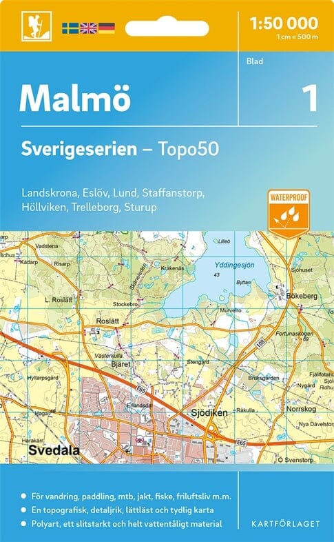
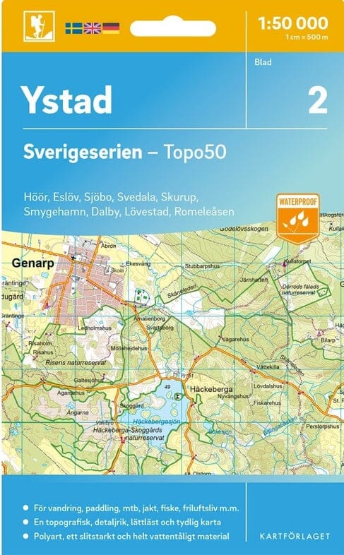
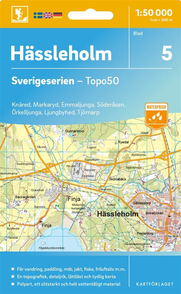
This topographic map no. 43 focuses on Strömstad (Sweden).

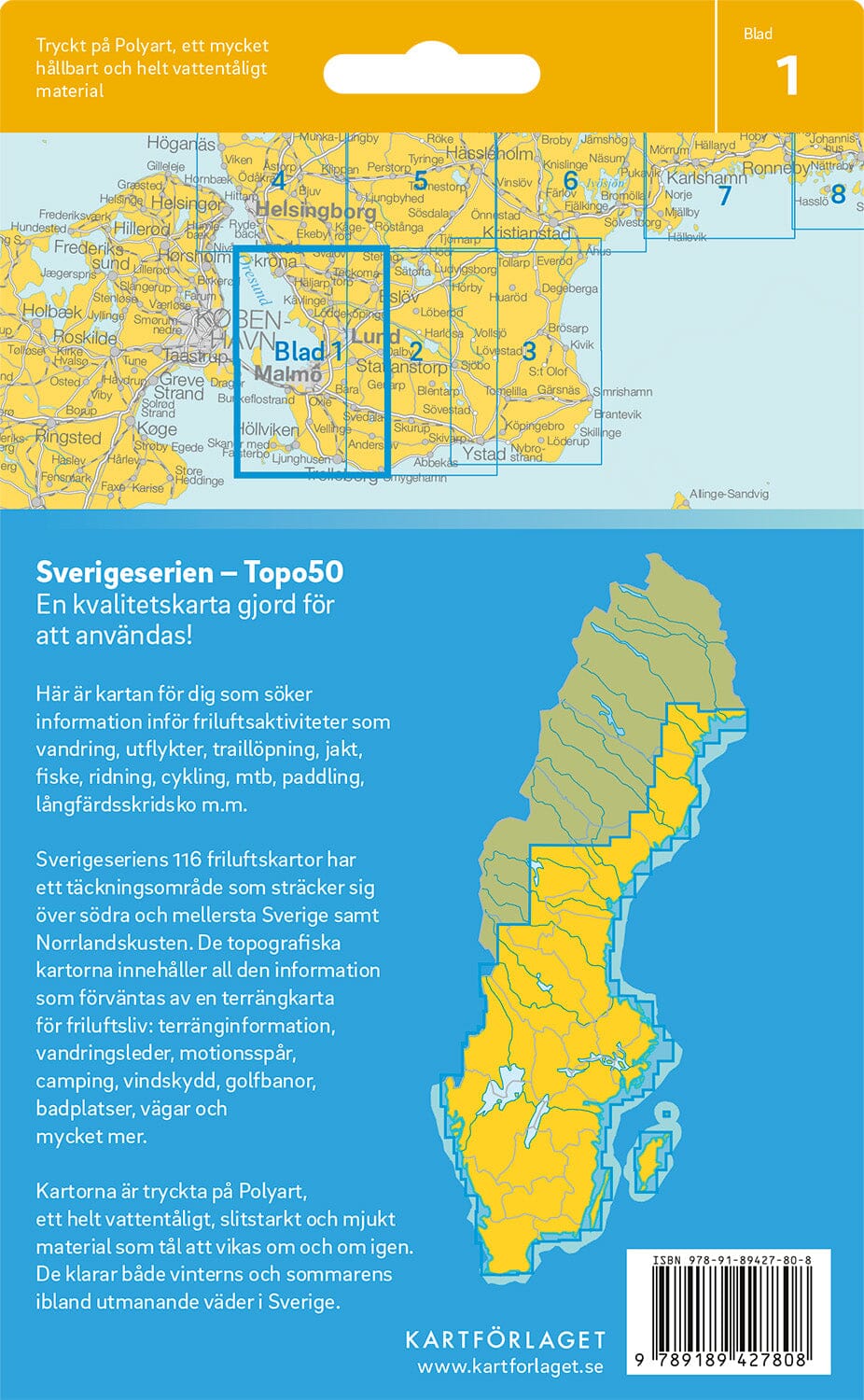
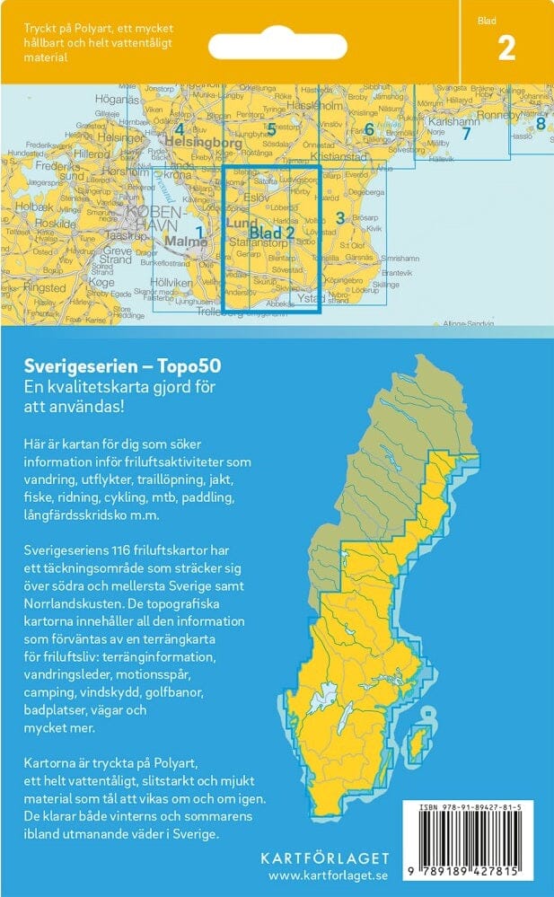
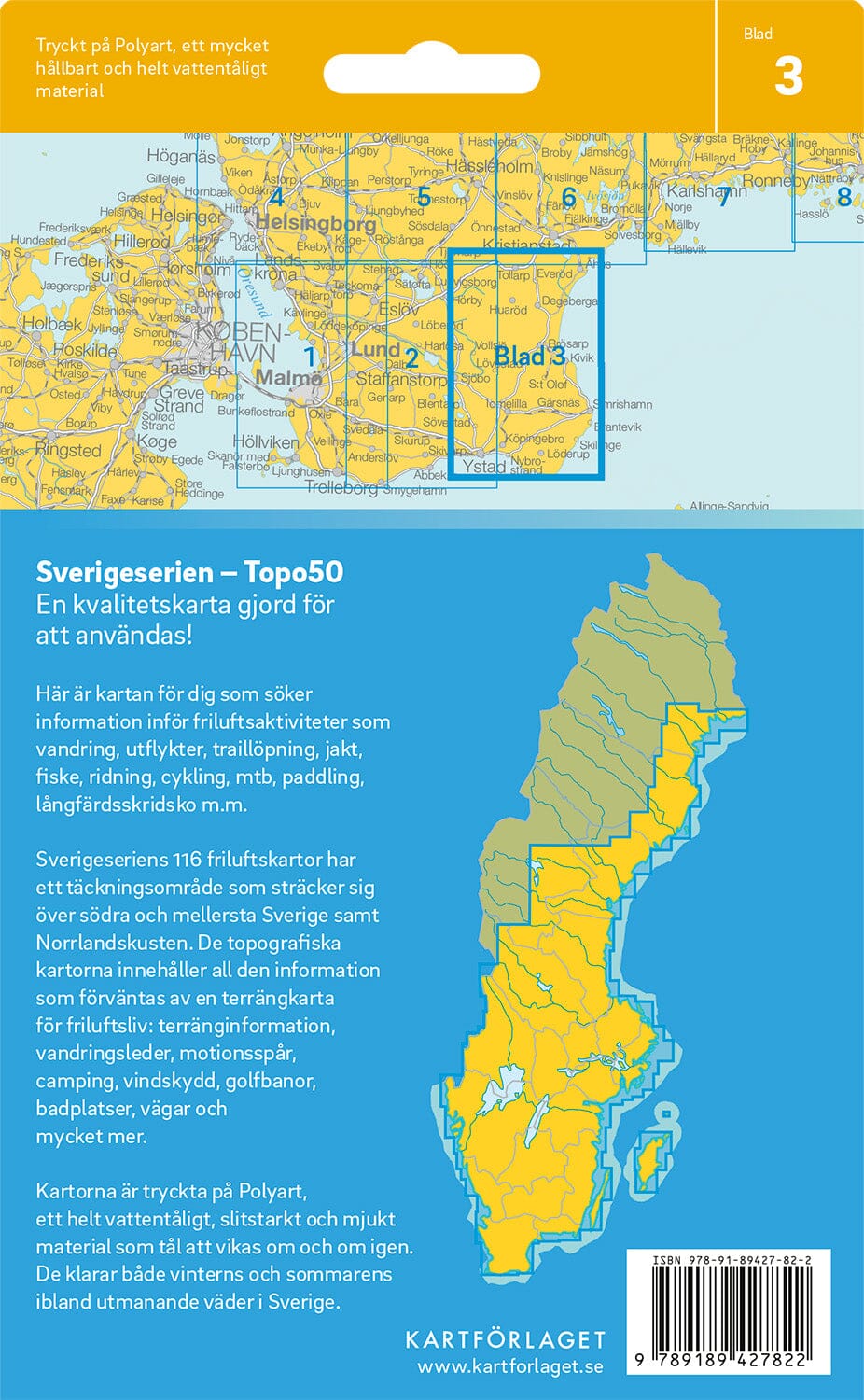
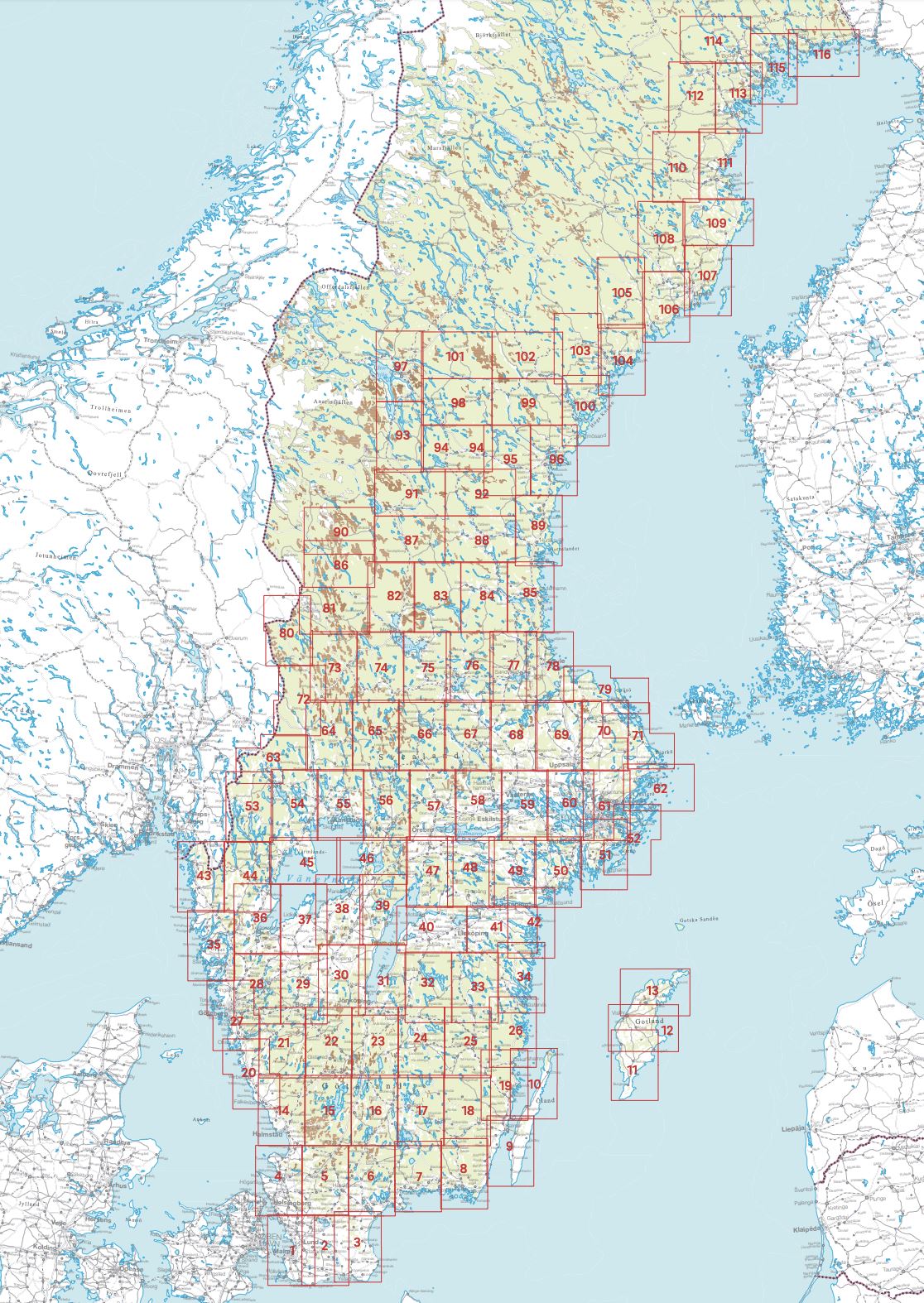
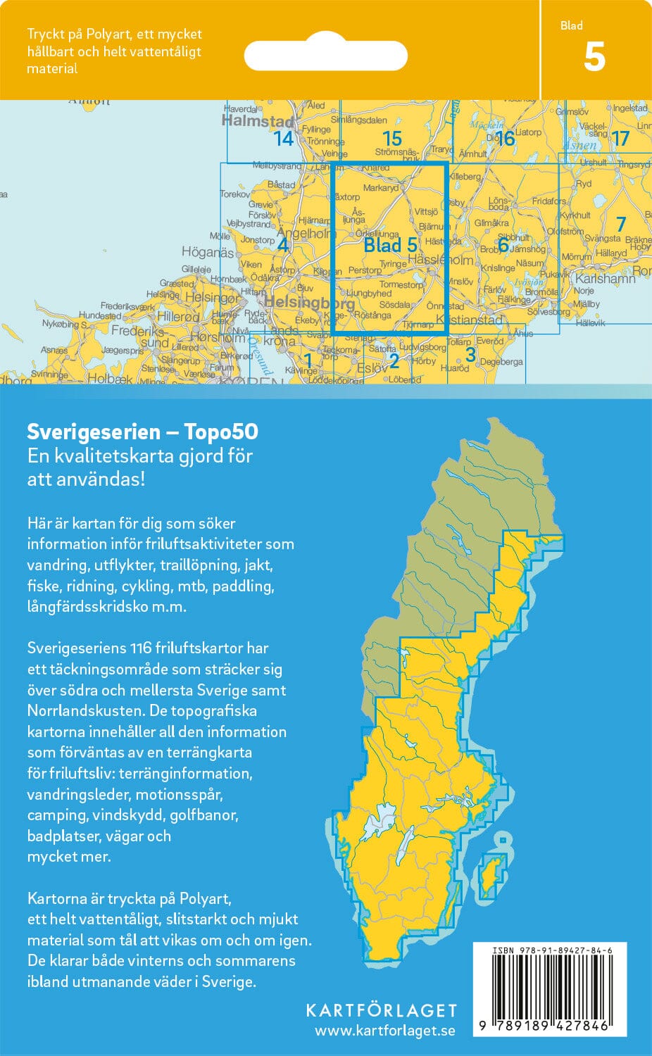
Sverigeserien is a series of 1:50 000 outdoor maps comprising 116 sheets covering southern and central Sweden, as well as the northern coast.

The maps are suitable for many outdoor activities, including hiking, outings, trail running, hunting, fishing, horseback riding, cycling, mountain biking, canoeing, skating and more. Each sheet covers an area of 45 x 68 km.

These 1:50 000 topographic maps include the information needed for outdoor activities: terrain types, hiking trails, illuminated tracks, campsites, shelters, golf courses, swimming areas, historical remains, roads of different categories, railway lines and more.

  • Easy-to-read topography with contour lines at 5-metre vertical intervals.
  • Content updated using mapping data from Lantmäteriet, Sweden's national mapping institute.
  • Printed on waterproof, tear-resistant Polyart.
  • Withstands repeated folding without tearing and Sweden's weather in winter and summer.
  • Key in Swedish, English and German.


ISBN/EAN : 9789189997226
Publication date: 2025
Scale: 1/50,000 (1cm=500m)
Folded dimensions: 13 x 21cm
Language(s): English, Swedish, German
Weight: 69 g