Hiking map No. 04 - Val Senales & Naturno (Alps, Italy) | Tabacco

Price
Regular price 14,90 €
Regular price Sale price 14,90 €
/
  • Shipped within 24 to 48h from our warehouse in France
  • Free returns (*)
  • Real-time stock levels
  • Cartovia Guarantee – Delivery issue?
    We resend immediately upon receiving a simple photo.
  • In stock, ready to ship
  • Backordered, shipping soon
Tax included.

Frequently bought together:

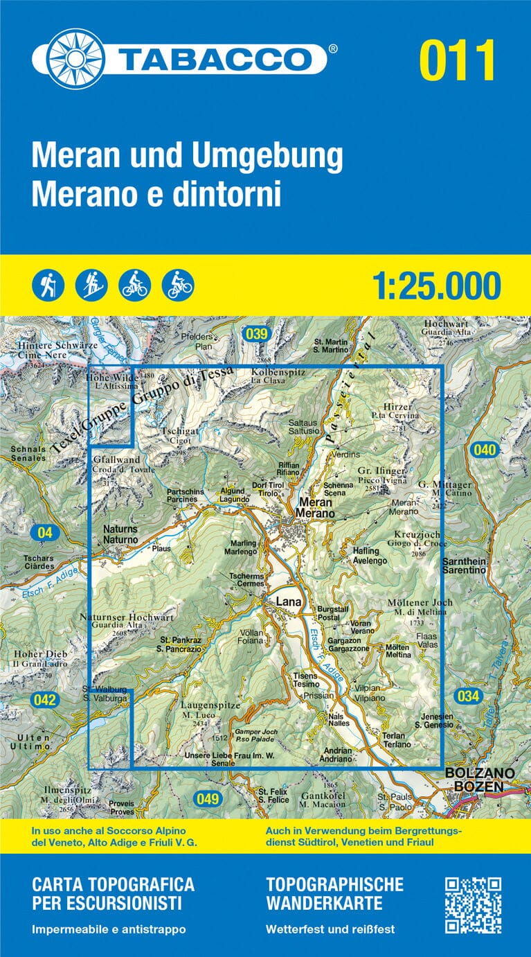
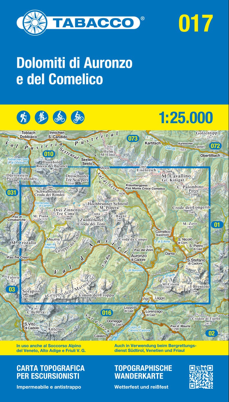
The Val Senales and Naturno topographic map, No. 04 by Tabacco, covers Val Senales (Schnalstal) and Naturno (Naturns) in Alto Adige / South Tyrol.

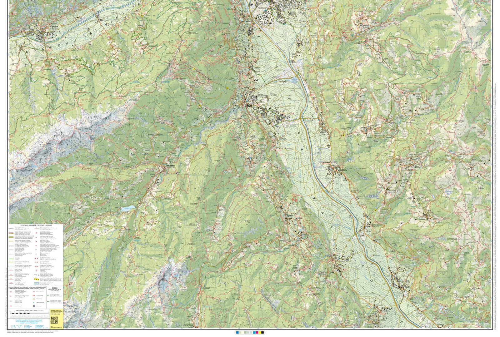
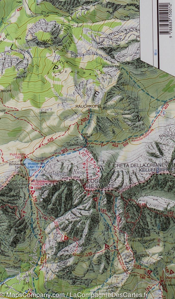
Tabacco maps are known for their accuracy and are popular with hikers, mountaineers and mountain bikers. This detailed mapping is suited to mountain activities.

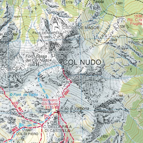
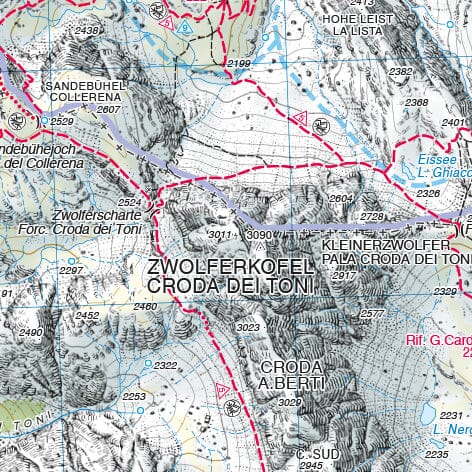
  • Contour lines at 25-metre intervals.
  • UTM WGS84 kilometre grid, compatible with GPS systems.
  • Hiking routes, cycle paths and mountain biking routes.
  • Double-sided printing; 2026 edition.
  • Plastic protective sleeve included.

This new edition is printed on a water-resistant and tear-resistant material that is photodegradable and environmentally friendly.

This mapping is used by mountain rescue services in Veneto, South Tyrol and Friuli-Venezia Giulia.


ISBN/EAN : 9788883152184
Publication date: 2026
Scale: 1/25,000 (1cm=250m)
Printed sides: front
Folded dimensions: 21 x 13 x 0.7cm
Unfolded dimensions: 106 x 100cm
Language(s): English, German, Italian
Weight: 112 g