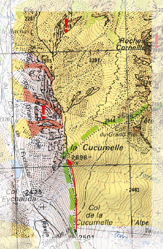
TOP 25 Map No. 3537 ETR (Resistant) - Guillestre, Vars and Risoul (Queyras National Park) | IGN

Price
Regular price 1750 €
Regular price Sale price 1750 €
/
  • Shipped within 24 to 48h from our warehouse in France
  • Free returns (*)
  • Real-time stock levels
  • Cartovia Guarantee – Delivery issue?
    We resend immediately upon receiving a simple photo.
  • Low stock - 2 items left
  • Backordered, shipping soon
Tax included.

Frequently bought together:

IGN TOP 25 topographic map no. 3537ETR of the region around Guillestre, Vars and Risoul. This detailed map covers part of the Queyras Regional Natural Park. This map extends from the Col d'Izoard to Vars (north to south), and from the Durance to Château-Queyras (west to east). Hiking map with 10-meter contour lines and detailed legend (vegetation, rocks, rivers, etc.). Indicates hiking trails.

This map is printed on a laminated, tear-resistant material, ideal for outdoor activities.

Towns covered: Eygliers, Château-Ville-Vieille, Risoul, Ceillac, Saint-André-d'Embrun, Arvieux, La Roche-de-Rame, Saint-Crépin, Réotier, Guillestre, Saint-Clément-sur-Durance

Places to discover: Massif du Queyras, Lac St-Anne, Pic des Houerts, Pic Saint-André, la Mortice, l'Ange Gardien, Pic du Béal Traversier, Pics de la Font Sancte, la Casse Déserte, Pointe de la Saume, Pic du Cros, la Demoiselle Coiffée, Pic des Heuvières, Pic de Panestrel, Pic des Beaudouis, Sommet Bu


ISBN/EAN : 9782758559436
Publication date: 2026
Scale: 1/25,000 (1cm=250m)
Printed sides: front
Folded dimensions: 23.6 x 11.2 x 0.5cm
Unfolded dimensions: 96 x 132cm
Language(s): French, English, German
Weight: 89 g