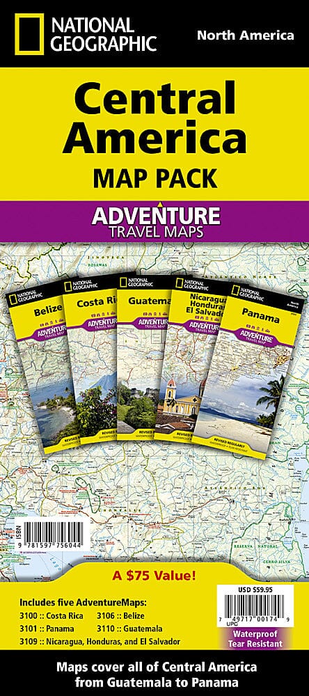
Carte générale - Amérique Centrale | Freytag & Berndt carte routière Freytag & Berndt

General map - Central America | Freytag & Berndt

Price
Regular price 1290 €
Regular price Sale price 1290 €
/
  • Shipped within 24 to 48h from our warehouse in France
  • Free returns (*)
  • Real-time stock levels
  • Cartovia Guarantee – Delivery issue?
    We resend immediately upon receiving a simple photo.
  • In stock, ready to ship
  • Backordered, shipping soon
Tax included.

Frequently bought together:

This general map of Central America offers a detailed overview of the region, supplemented by numerous city maps, regional maps, and maps of major archaeological sites.

Thanks to its precise cartography, shaded relief, and abundant tourist information, it serves as an excellent tool for planning a trip or exploring the cultural and natural riches of Central America.

📌 Features

  • Detailed mapping of Central America
  • Relief represented by terrain shading
  • Kilometric distances indicated
  • Main tourist sites localized
  • Numerous city maps and regional maps

🏙️ City maps included

  • Antigua Guatemala (1:11,100)
  • Campeche (1:13,000)
  • Cancún (1:110,000)
  • Guatemala City (1:36,000)
  • Mérida (1:18,000)
  • San José City Center (1:11,500)

🌎 Detailed regional maps

  • Costa Rica (1:900,000)
  • Riviera Maya (1:416,500)
  • Isla Cozumel (1:450,000)
  • Isla Mujeres (1:50,000)
  • Isla del Coco (1:100,000)
  • Lake Atitlán (1:330,000)

🏛️ Archaeological sites represented

  • Chichén Itzá (1:10,500)
  • Copán (1:5,800)
  • Palenque (1:5,800)
  • Tikal (1:16,000)
  • Tulum (1:4,500)
  • Uxmal (1:9,000)

🌍 Region covered

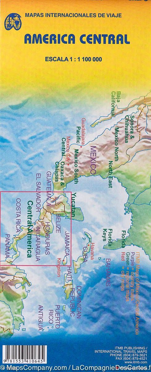
The map covers all of Central America, from southern Mexico to Panama, with a particular focus on cultural sites, historic cities, and major tourist destinations.


ISBN/EAN : 9783707922998
Publication date: 2026
Scale: 1/1,250,000 (1 cm = 12.5 km)
Printed sides: front
Folded dimensions: 25.5 x 13cm
Language(s): French, English, German
Weight: 91 g