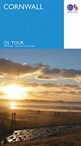
Tourist map - Cornwall - Tour 1 | Ordnance Survey

Price
Regular price 995 €
Regular price Sale price 995 €
/
  • In stock in France and in the UK
    Shipped within 24 to 48h from the warehouse closest to you
  • Free returns (*)
  • Real-time stock levels
  • Cartovia Guarantee – Delivery issue?
    We resend immediately upon receiving a simple photo.
  • In stock, ready to ship
  • Backordered, shipping soon
Tax included.

Frequently bought together:

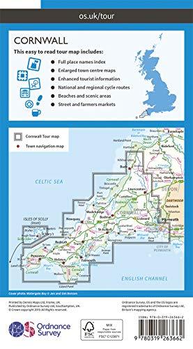
Cornwall is covered on this tourist map published by Ordnance Survey. Reference: Tour 1.

Insets show the Isles of Scilly, St Ives, Falmouth, Newquay, Hugh Town, Padstow, Bude, Launceston, Penzance, Helston, Bodmin, Truro, St Austell, Fowey and Looe.

It provides an overview of the whole area with cycle paths, hiking trails and scenic roads.

  • Relief mapping, including sandy beaches, dunes, the foreshore and high-water levels.
  • Points of interest: historic sites, campsites and attractions.
  • Road distances shown in miles.

The Ordnance Survey Tour series covers popular tourist areas of Great Britain, showing national and regional cycle routes, national walking trails and tourist information.

Scale: 1:100,000 (1 cm = 1 km).


ISBN/EAN : 9780319263662
Publication date: 2019
Scale: 1/100,000 (1cm=1km)
Printed sides: front
Folded dimensions: 13x24cm
Unfolded dimensions: 96 x 126cm
Language(s): English
Weight: 126 g