Hiking map No. 030 - Saalfelden, Saalbach-Hinterglemm, Zell am See (Austria) | Kompass

Price
Regular price 1575 €
Regular price Sale price 1575 €
/
  • Shipped within 24 to 48h from our warehouse in France
  • Free returns (*)
  • Real-time stock levels
  • Cartovia Guarantee – Delivery issue?
    We resend immediately upon receiving a simple photo.
  • In stock, ready to ship
  • Backordered, shipping soon
Tax included.

Frequently bought together:

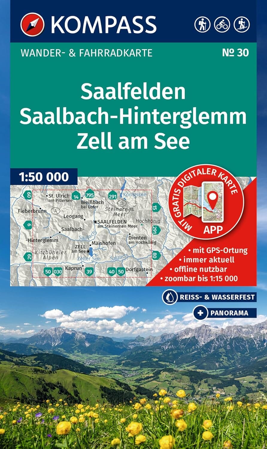
Hiking and cycling map - Saalfelden, Saalbach-Hinterglemm, Zell am See | Kompass No. 30

Scale 1:50,000 - Waterproof, durable map

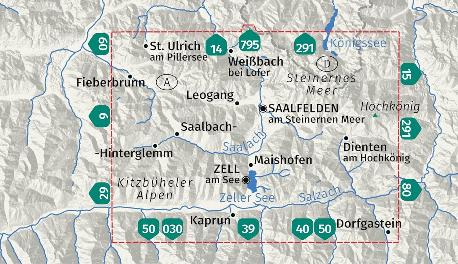
Explore the spectacular landscapes of Salzburg state with this all-in-one hiking and cycling map covering Saalfelden, Saalbach-Hinterglemm and Zell am See. Ideal for walks, bike rides and winter adventures, it provides a detailed, intuitive representation of the terrain.

Highlights

  • Map scale 1:50,000: 1 cm = 500 m on the ground
  • GPS-compatible and regularly updated
  • Weather-resistant and tear-resistant paper
  • Kompass app: offline map section with extended zoom levels
  • Hand-drawn panorama on the reverse: a vivid overview of the region

Map contents

  • All official hiking trails with names and numbers
  • Cycle paths, mountain bike trails and via ferrata routes
  • Mountain huts, inns, car parks, bus stops and railway stations
  • Cross-country skiing trails and ski touring routes
  • Springs, lakes, swimming areas and other points of interest
  • Relief shown through contour lines, shading and vegetation

About the region

Explore the heart of the Austrian Alps! The Hochkönig massif, Kitzsteinhorn, green Alpine pastures, crystal-clear lakes and mountain views make this region an outstanding destination for nature and mountain lovers.


ISBN/EAN : 9783991544074
Publication date: 2025
Scale: 1/50,000 (1cm=500m)
Folded dimensions: 11 x 19cm
Language(s): German
Weight: 102 g