Hiking map - Southern Corsica: through Alta Rocca, from Porticcio to Propriano | FFRandonnée

Price
Regular price 1290 €
Regular price Sale price 1290 €
/
  • Shipped within 24 to 48h from our warehouse in France
  • Free returns (*)
  • Real-time stock levels
  • Cartovia Guarantee – Delivery issue?
    We resend immediately upon receiving a simple photo.
  • In stock, ready to ship
  • Backordered, shipping soon
Tax included.

Frequently bought together:

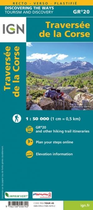
This Topocarte map of Alta Rocca, from Porticcio to Propriano, offers 10 days of hiking through the mountains of southern Corsica. The route follows the Mare a Mare® Centre, GR® 20 and Mare a Mare® Sud.

Between the gulfs of Ajaccio and Propriano, this lightly frequented hike brings together characteristic Corsican landscapes: Corsican pines, dense flowering scrub, chestnut groves, plateaus, pozzine wetlands and streams. It crosses Alta Rocca, the Bavella needles and many traditional villages. Pastoral activity remains prominent, and endemic wildlife such as mouflon and red deer may be seen.

The route is divided into daily stages. The map presents the highlights of the areas crossed, detailed IGN mapping, accommodation and downloadable GPX tracks.

  • Duration stated in the highlights: 10 days of long-distance hiking on GR trails.
  • An all-in-one Topocarte map to make multi-day hiking easier.
  • Strong, flexible, double-sided paper, resistant to rain and snags.
  • Predefined daily stages, divided into sections, with routes on IGN base mapping.
  • Selected accommodation and transport options.
  • Access to the GPX track through MaRando.


ISBN/EAN : 9782751413162
Publication date: 2024
Scale: 1/50,000 (1cm=500m)
Printed sides: both sides
Folded dimensions: 25 x 10.7 x 0.3 cm
Language(s): French
Weight: 50 g