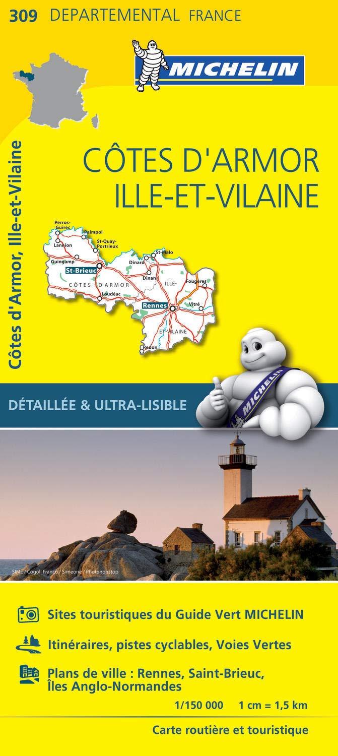
This IGN Blue Series No. 1219 hiking map provides mapping of the Bruz, Janzé area.
Municipalities covered: Bruz, Janzé, Domloup, Nouvoitou, Corps-Nuds, La Couyère, Saint-Armel, Bourg-des-Comptes, Pléchâtel, Chavagne, Le Sel-de-Bretagne, Bourgbarré, Brie, Tresboeuf, Châteaugiron, Crevin, Orgères, Saulnières, Noyal-Châtillon-sur-Seiche, Le Petit-Fouger.
Places to discover: Plessis Castle, le Châtellier, Bois Orcan, Parc ornithologique, Boschet Castle.
This highly accurate topographic mapping shows every detail on the ground:
- Transport routes down to the smallest paths.
- Buildings, including individual sheds.
- Woodland, isolated trees, rivers and springs.
Contour lines show the terrain.