Road atlas - Scandinavia (Denmark, Norway, Sweden, Finland) | Freytag & Berndt

Price
Regular price 3690 €
Regular price Sale price 3690 €
/
  • In stock in France, in the USA and in the UK
    Shipped within 24 to 48h from the warehouse closest to you
  • Free returns (*)
  • Real-time stock levels
  • Cartovia Guarantee – Delivery issue?
    We resend immediately upon receiving a simple photo.
  • In stock, ready to ship
  • Backordered, shipping soon
Tax included.

Frequently bought together:

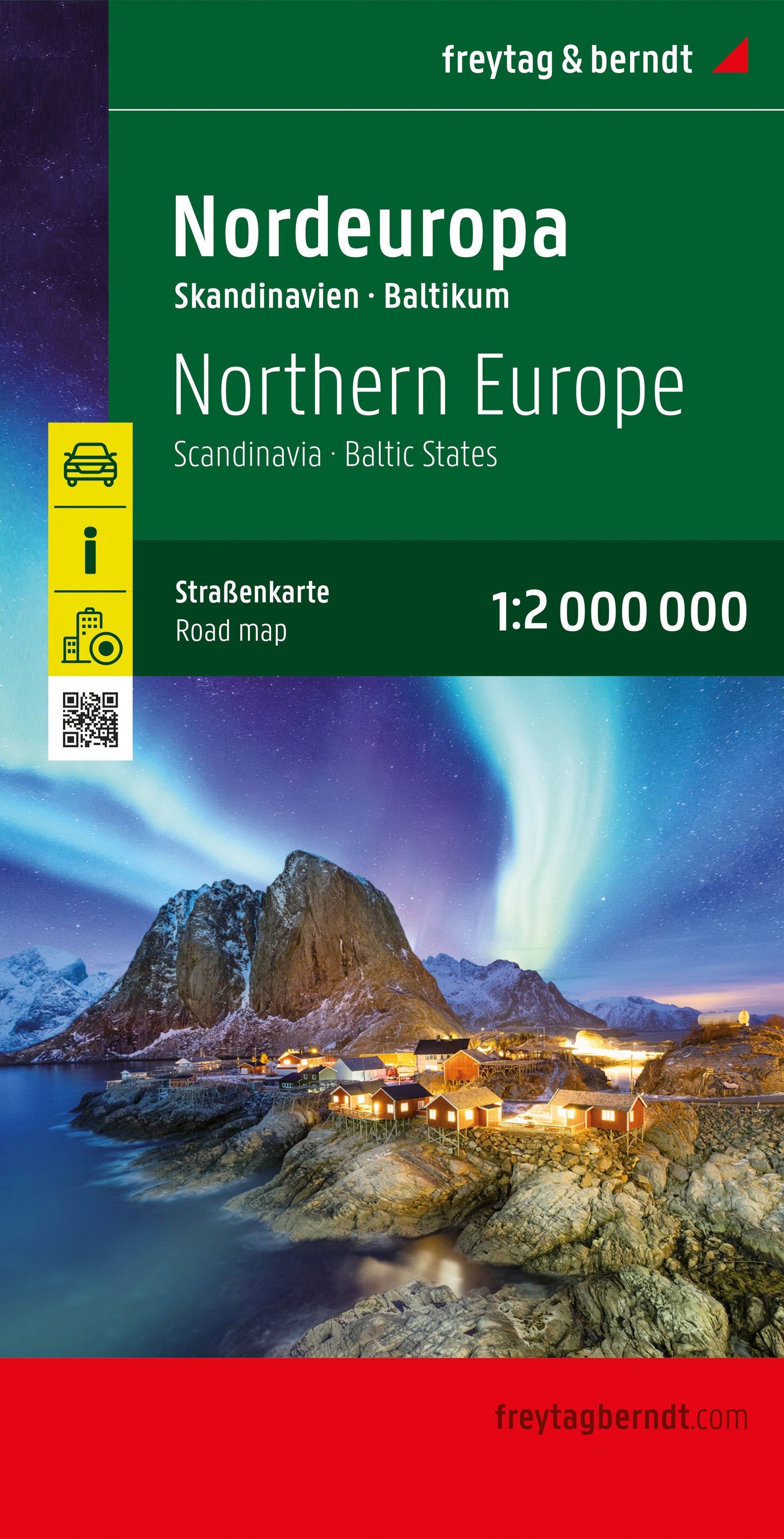
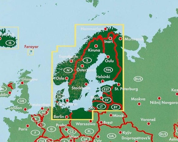
This Scandinavia road atlas from Freytag & Berndt covers all of Denmark, Norway, Sweden and Finland. Practical spiral binding and detailed mapping make it a useful companion for car, motorcycle and motorhome journeys across northern Europe.

Features

  • Spiral-bound road atlas with a flexible card cover.
  • Detailed mapping of Scandinavia.
  • Multilingual legend including English.
  • Place-name index with postcodes.
  • 33 city plans.

Scales

  • 1:200,000: Denmark.
  • 1:250,000: southern and central Norway, and southern and central Sweden.
  • 1:400,000: northern Norway, northern Sweden and Finland.

Highlights

Major tourist attractions, national parks and campsites are marked. Detailed plans of numerous cities and the practical format support route planning and navigation on the road.


ISBN/EAN : 9783707925036
Publication date: 2026
Pagination: 466 pages
Scale: 1/250,000 (1cm=2.5km) & 1/400,000
Folded dimensions: 23.5 x 29.7 cm
Language(s): English, Danish, Finnish, Norwegian, Swedish
Weight: 1150 g