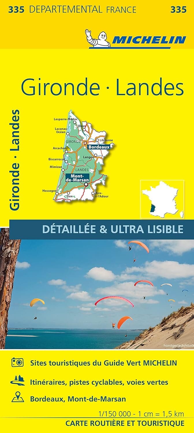
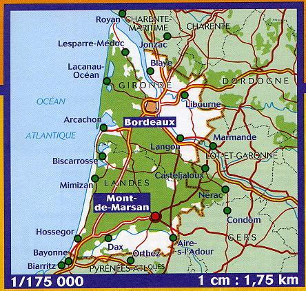
This IGN Blue Series No. 1643 hiking map provides mapping of the Aire-sur-l'Adour, Riscle area.
This highly accurate topographic mapping shows every detail on the ground:
- Transport routes down to the smallest paths.
- Buildings, including individual sheds.
- Woodland, isolated trees, rivers and springs.
Contour lines show the terrain.
Municipalities covered: Riscle, Préchac-sur-Adour, Duhort-Bachen, Pécorade, Maumusson-Laguian, Saint-Lanne, Saint-Agnet, Castelnau-Rivière-Basse, Madiran, Galiax, Goux, Jû-Belloc, Sarron, Izotges, Sion, Maulichères, Arblade-le-Haut, Termes-d'Armagnac, Saint-Griède, Caumon.
Places to discover: St-Jean Castle, Ste-Quitterie, Tour, Lau Castle, St-Pierre, St-Leu, Cloître.