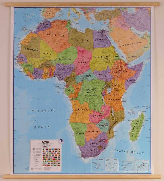
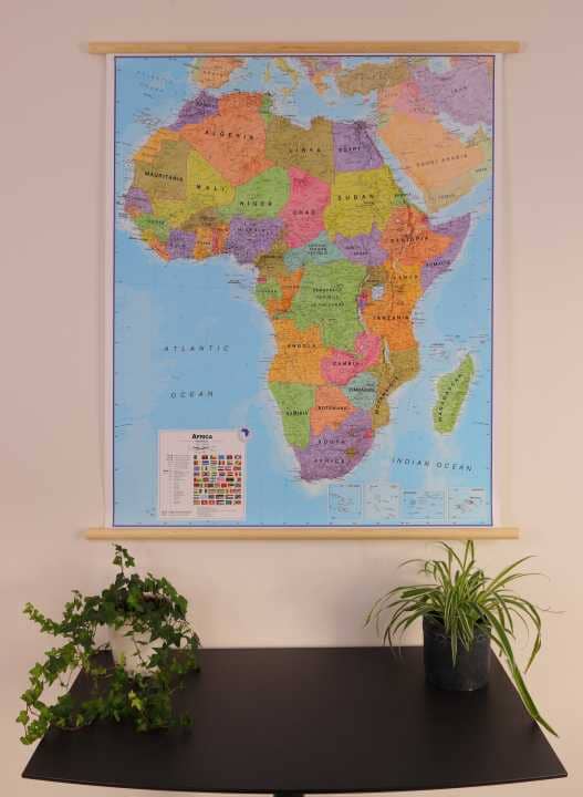
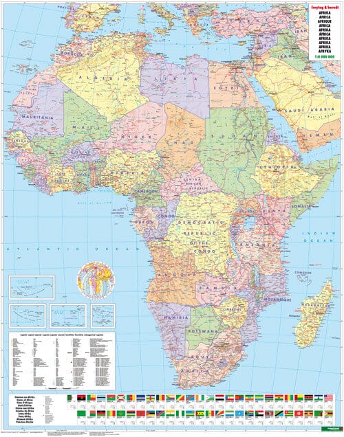
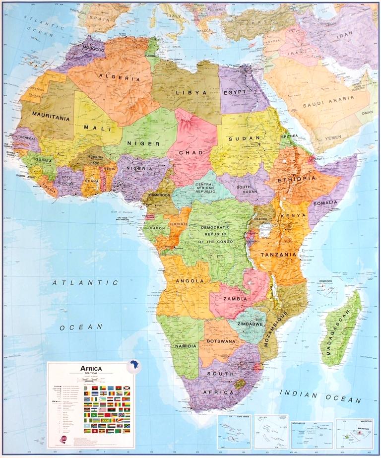
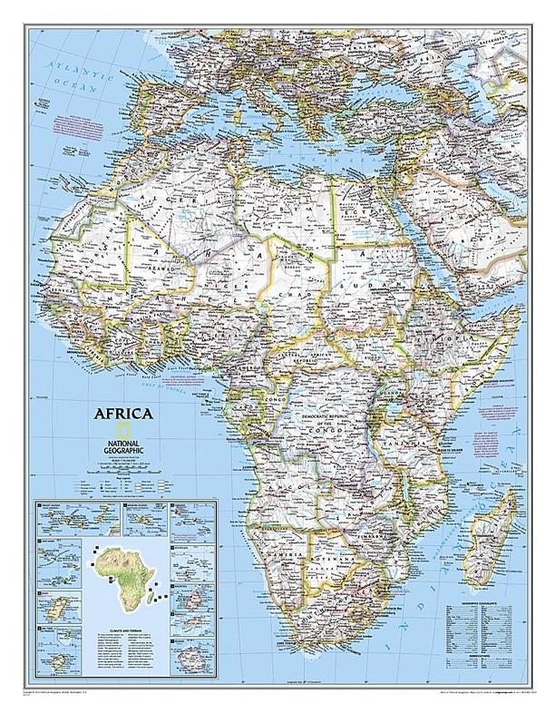
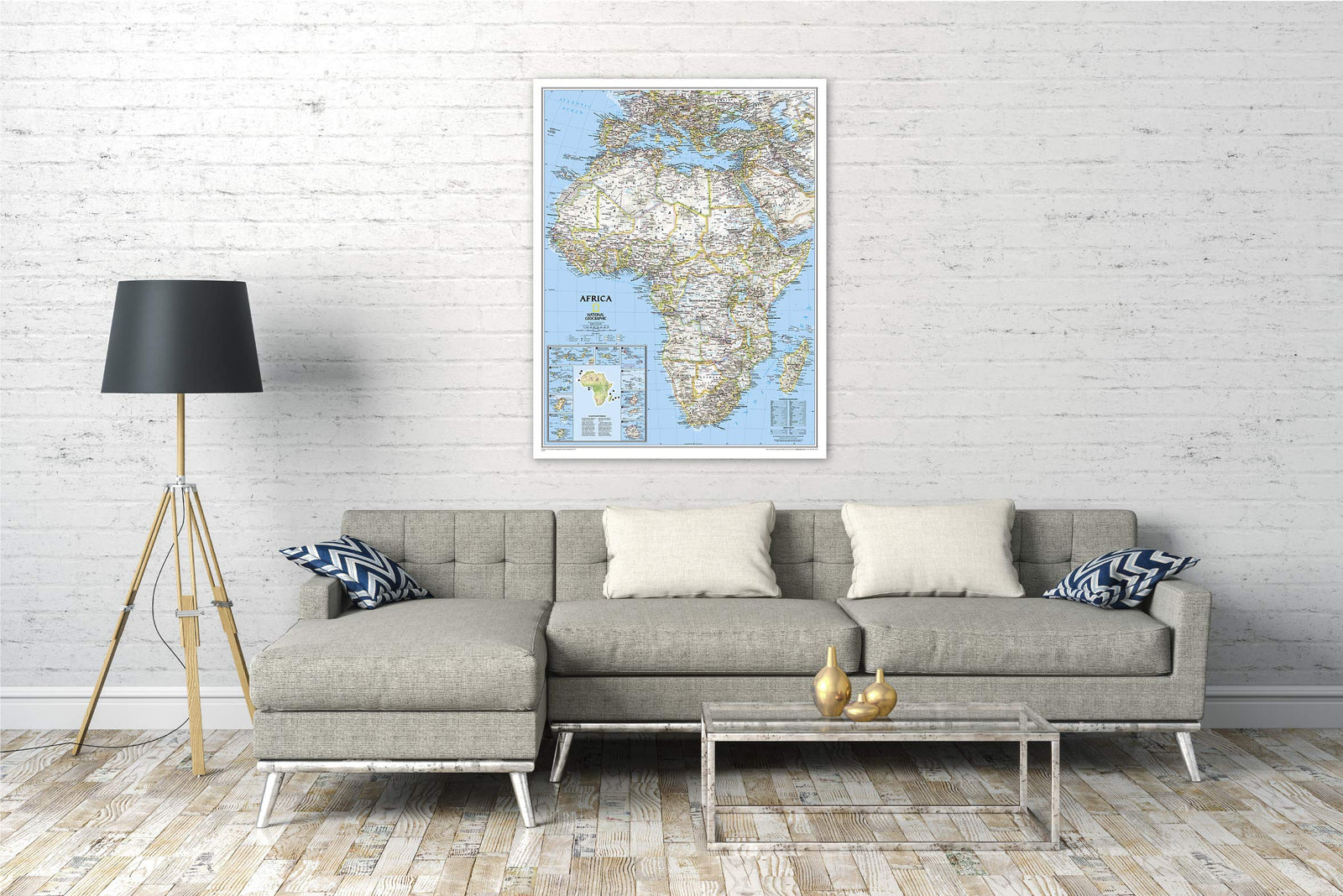
National Geographic's map of Africa is as attractive as it is functional. The entire continent is rendered in executive style with a vintage color palette, clearly defined international borders, shaded relief, and easy-to-read fonts. Place names, bodies of water, airports, major highways and roads, as well as map motifs used to represent sand, lava fields, swamps, dry salt lakes, intermittent lakes, salt deserts, and areas below sea level are also depicted. This map also includes an informative climate and terrain insert with a topographic map of the continent and individual inserts for the 10 island nations surrounding Africa.
Coverage includes the following countries, their capitals, and major cities: Algeria, Angola, Benin, Botswana, Burkina Faso, Burundi, Cameroon, Cape Verde, Central African Republic, Chad, Democratic Republic of the Congo, Republic of the Congo, Côte d'Ivoire, Djibouti, Egypt, Equatorial Guinea, Eritrea, Ethiopia, Gabon, Gambia, Ghana, Guinea, Guinea-Bissau, Kenya, Liberia, Libya, Madagascar, Malawi, Mali, Morocco, Mauritania, Mozambique, Namibia, Niger, Nigeria, Rwanda, Senegal, Sierra Leone, Somalia, South Africa, Sudan, Tanzania, Togo, Tunisia, Uganda, Zambia, and Zimbabwe. The island nations represented are: Canary Islands, Madeira, Comoros, Seychelles, Mauritius, Rodrigues, Reunion, Sao Tome and Principe, Bioko and Cape Verde.