Hiking map no. 711 - High Uintas (Utah) | National Geographic

Price
Regular price 1590 €
Regular price Sale price 1590 €
/
  • In stock in the USA and in the UK
    Shipped within 24 to 48h from the warehouse closest to you
  • Customs duties may apply on import to your country
  • Free returns (*)
  • Real-time stock levels
  • Cartovia Guarantee – Delivery issue?
    We resend immediately upon receiving a simple photo.
  • In stock, ready to ship
  • Backordered, shipping soon
Tax included.

Frequently bought together:

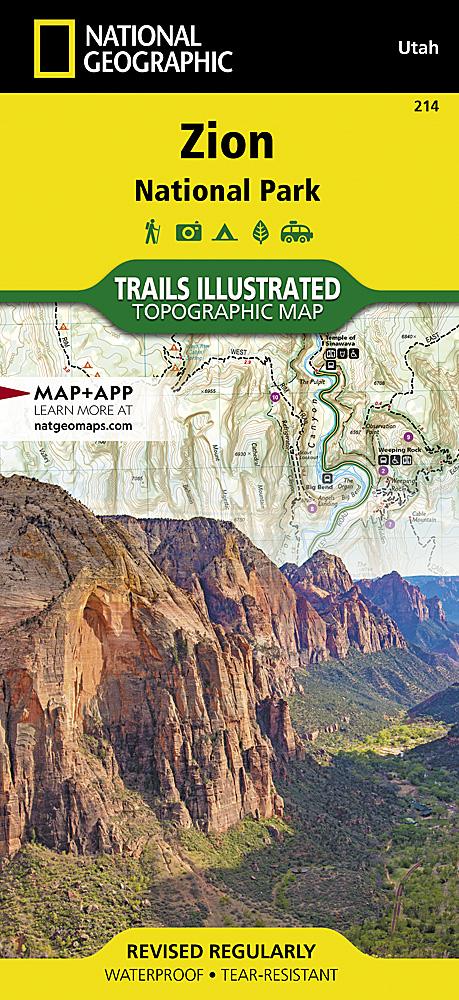
Trail map of the High Uintas, Utah, published by National Geographic. The Trails Illustrated map covers High Uintas Wilderness and Ashley and Wasatch-Cache National Forests, with alpine scenery, glacial lakes and Utah's highest peaks.

Expertly researched and created with local land management agencies, it highlights Mirror Lake, Kings Peak, Sheep Creek Canyon Geological Area and sections of the Yellowstone, Uinta and Duchesne Rivers.

Hundreds of kilometres of mapped trails guide exploration. A practical chart lists every trailhead, the number of parking spaces and available facilities, including horse ramps, corrals, water, toilets and developed campsites. Snowmobile and mountain biking trails, four-wheel-drive routes and major roads are clearly shown.

The base map gives contours and elevations for summits, passes and many lakes. Wilderness regulations and safety advice help visitors prepare their trip.

Other mapped features include Ashley National Forest, High Uintas Wilderness, Kings Peak, Marsh Peak, Mount Lovenia, Uinta National Forest and Wasatch National Forest.

Waterproof and tear-resistant. Scale: 1:75,000.


ISBN/EAN : 9781566953719
Publication date: 2024
Folded dimensions: 9.45 inches x 4.33 inches (24 x 11 cm)
Unfolded dimensions: 25.2 x 31.5 inches (64 x 80 cm)
Language(s): English
Weight: 100 g