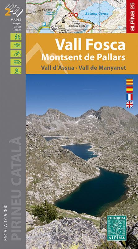
Set of 2 hiking maps - Vall Fosca, Monstsent de Pallars, Vall d'Assua (Catalan Pyrenees) | Alpina

Price
Regular price 1650 €
Regular price Sale price 1650 €
/
  • Ships within 5 to 8 working days
    (Currently in transit to our warehouse in France)
  • Cartovia Guarantee – Delivery issue?
    We resend immediately upon receiving a simple photo.
Tax included.

Often purchased together:

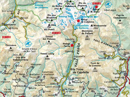
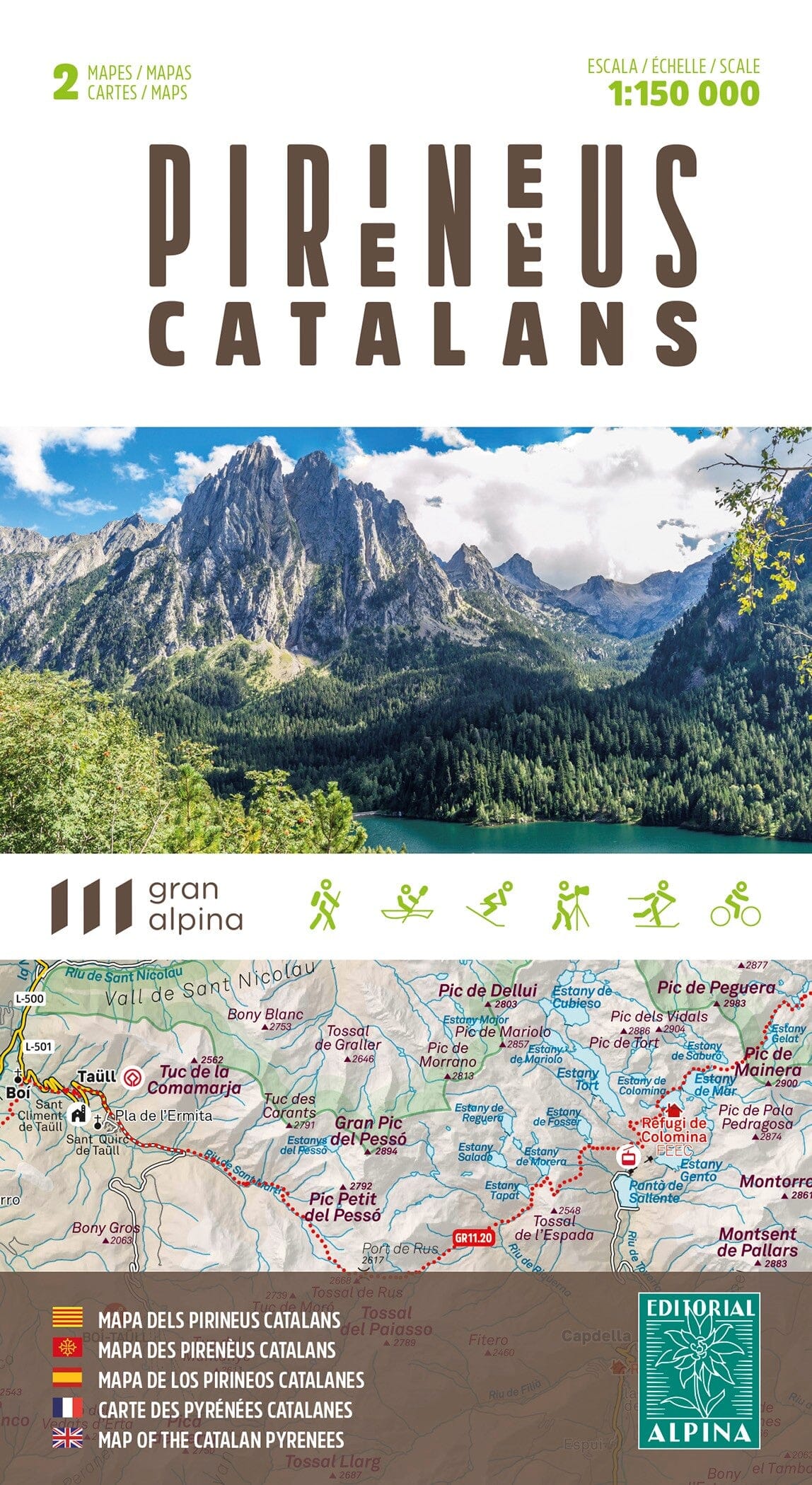
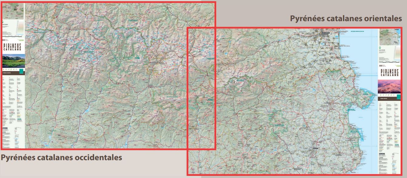
This set of two topographic maps covers Vall Fosca, Monstsent de Pallars and Vall d’Assua (Catalan Pyrenees). It provides information for hikers, including shelters, waymarked GR, PR and local routes, mountain paths and more.

Coverage: the Catalan Pyrenees, Vall Fosca, Vall de Manyanet, Vall d'Àssua and the southern part of Aigüestortes National Park.

  • Information on staffed mountain huts, campsites and tourist offices.
  • Contour interval: 10 m.
  • Index contour interval: 50 m.
  • Shaded relief.
  • GPS-compatible.
  • Trails shown.


ISBN/EAN : 9788480908344
Publication date: 2021
Scale: 1/25,000 (1cm=250m)
Printed sides: front
Folded dimensions: 21 x 12.5cm
Unfolded dimensions: 98 x 68cm
Language(s): French, English, Castilian, Catalan
Weight: 170 g