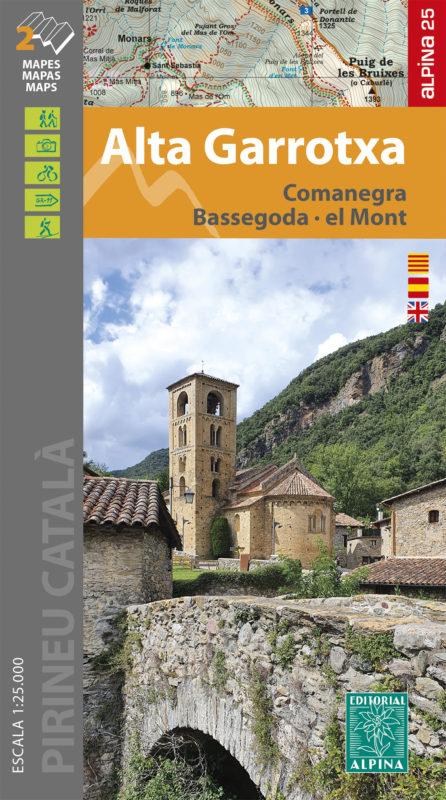
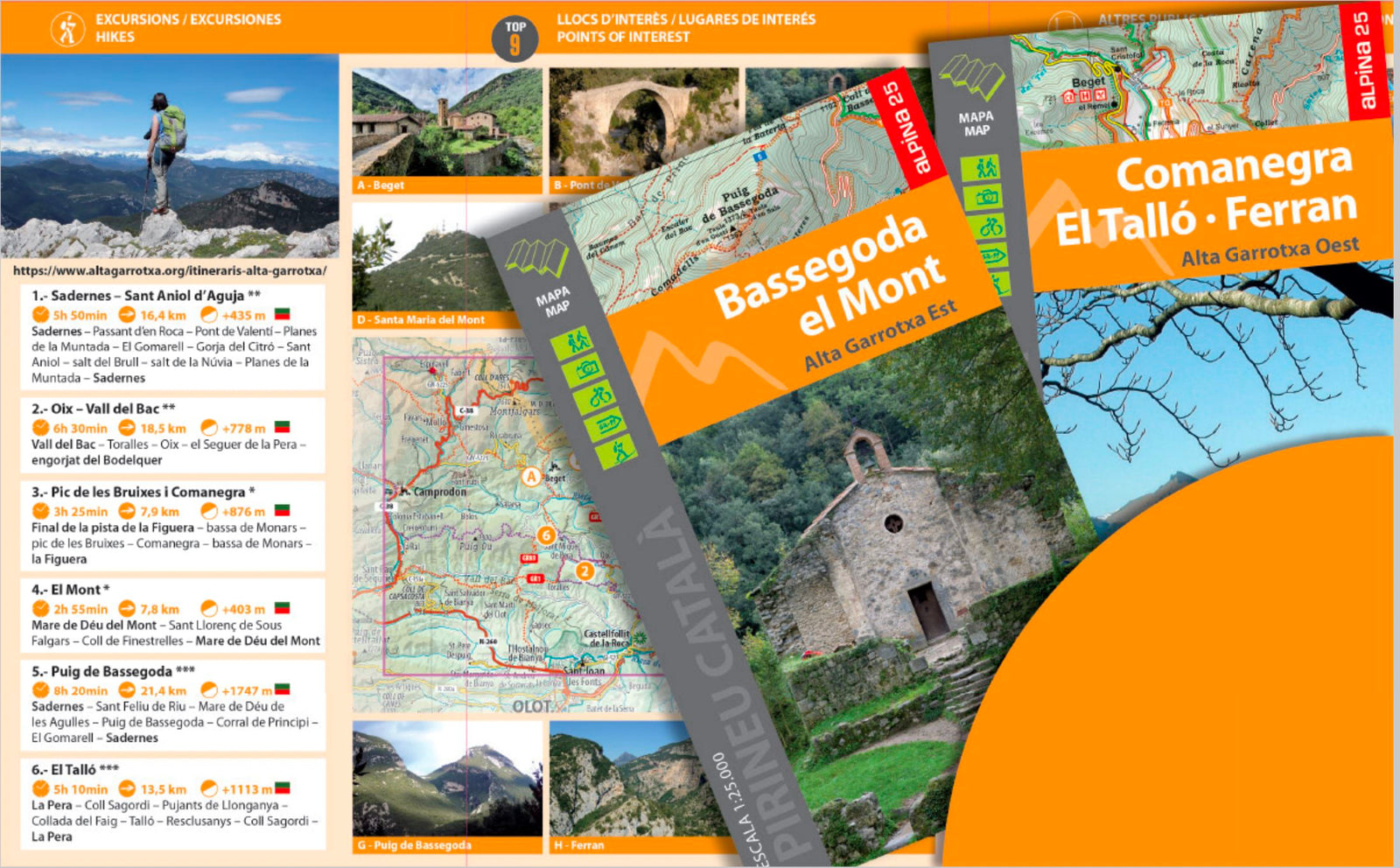
Hiking map - Alta Garrotxa, Comanegra, Lower Bass, El Mont (Catalan Pyrenees) | Alpina

Price
Regular price 1650 €
Regular price Sale price 1650 €
/
  • Ships within 5 to 8 working days
    (Currently in transit to our warehouse in France)
  • Cartovia Guarantee – Delivery issue?
    We resend immediately upon receiving a simple photo.
Tax included.

Often purchased together:

Set of 2 Topographic maps Alta Garrotxa East and Alta Garrotxa west presented in a practical folder.

Interest information: marked trails (gr, pr), hiking trail network, interest, caves ...

Map sector: Pre - Pyrenees and Pyrenees Eastern Catalan. Natural area of ​​interest of Alta Garrotxa. Regions of Garrotxa, Ripollès, Alt Empordà and Vallespir.

Characteristics of maps:
• Scale 1: 25.000
• Equidistance of level curves: 10 m
• main curves: 50 m
• Relief shaded
• Grid UTM with divisions 1 Km
• GPS Compatible
• Tagged Routes

The folder included with the maps provides the following information: • Swimmed routes from Alta Garrotxa
• Geographic information
• Top 9: points of interest


ISBN / EAN : 9788480908948
Date de publication : 2021
Echelle : 1/25,000 (1cm=250m)
Impression: front
Dimensions plié(e) : 21 x 12.5cm
Dimensions déplié(e) : 98 x 68cm
Langue : English, Castilian, Catalan
Poids : 170 g