Geographical map - Somalia & Somaliland | Gizi Map

Price
Regular price 1495 €
Regular price Sale price 1495 €
/
  • In stock in France and in the USA
    Shipped within 24 to 48h from the warehouse closest to you
  • Free returns (*)
  • Real-time stock levels
  • Cartovia Guarantee – Delivery issue?
    We resend immediately upon receiving a simple photo.
  • In stock, ready to ship
  • Backordered, shipping soon
Tax included.

Frequently bought together:

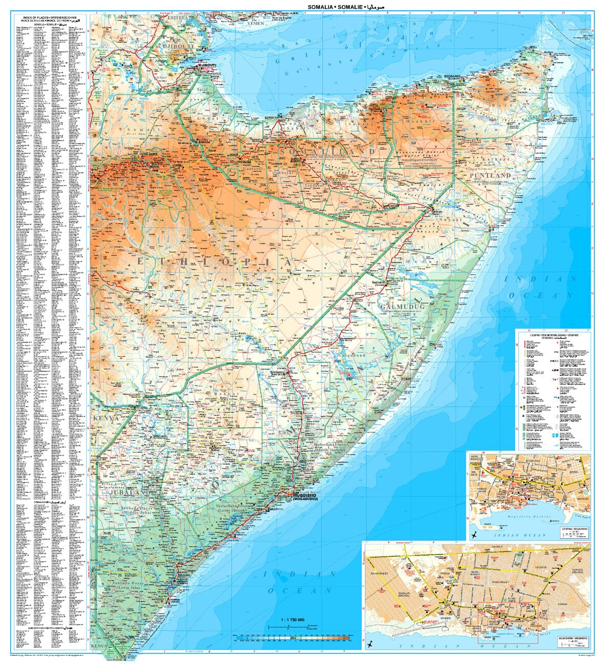
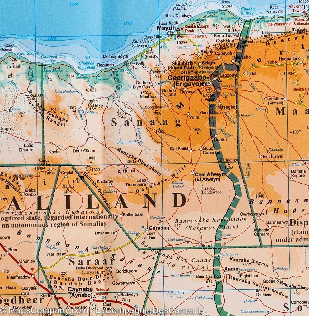
Gizi Map's Somalia and Somaliland geographical map provides detailed relief mapping: elevation colours, symbols for swamps, salt marshes and deserts, and mountain-range names.

Two maps of Mogadishu are included: a general plan showing districts and main roads, and a more detailed street map of the central area. Both identify various facilities and places of interest.

The map covers the whole territory within the country's internationally recognised borders. It depicts the situation described by the publisher in autumn 2012: the de facto division between Somaliland and Somalia, the self-declared autonomous states of Puntland, Galmudug and Jubaland in Somalia, and a disputed area claimed by Somaliland but administered by Puntland.

A town and city index is included. The multilingual legend includes English and Arabic.


ISBN/EAN : 9786155010101
Publication date: 2017
Scale: 1/1,750,000 (1cm=17.5km)
Printed sides: front
Folded dimensions: 24 x 13 x 1cm
Unfolded dimensions: 95 x 87cm
Language(s): multilingual (including French)
Weight: 90 g