Discover the surroundings of Santiago de Chile with this Trekkingchile map dedicated to hiking, climbing, and cycling in Central Chile.
The map features 70 hiking routes, 9 climbing routes, and 7 cycling routes, with distances, estimated times, and access information.
Map Information
- Main scale: 1:50,000
- Two detailed maps at 1:25,000 for Río Clarillo and Cerro San Cristóbal
- 70 hiking routes
- 9 climbing routes
- 7 cycling routes
- Distances and route times
- Route access information
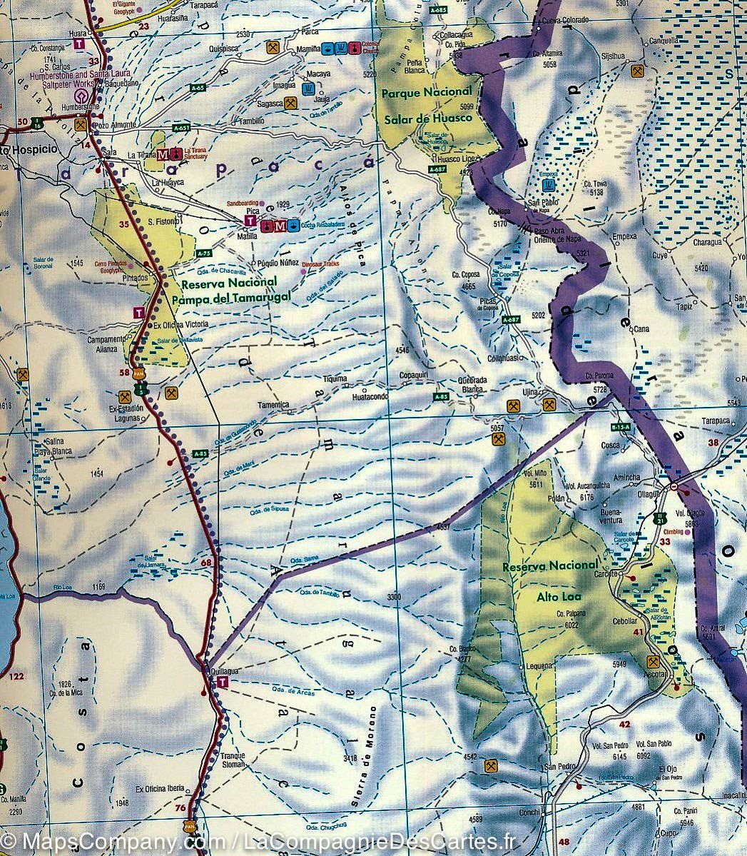
- Contour lines every 50 m
- GPS-compatible grid
- Accommodation, huts, and campsites
- Photographs of key attractions
- Illustrations of local wildlife
- 1st edition: 2018
Main Areas Covered
Cerro San Cristóbal, Cordón Manquehue, El Arrayán - Pochoco, La Dehesa, Santuario Yerba Loca, Valle Olivares, Alto del Naranjo, San Carlos de Apoquindo, Parque Aguas de Ramón, Parque Mahuida, Cantalao, Parque Quebrada de Macul, Parque Panul, El Manzano, Cajón Río Colorado, and Parque Nacional Río Clarillo.
Among the peaks shown are Cerro Plomo (5,424 m), Punta Santiago (5,083 m), Cerro Leonera (4,954 m), Cerro La Paloma (4,910 m), Cerro Pintor (4,180 m), Cerro San Ramón (3,253 m), and Cerro Provincia (2,751 m).
Material
- Printed on stone paper
- Waterproof
- Tear-resistant
- Material described as eco-friendly by the publisher