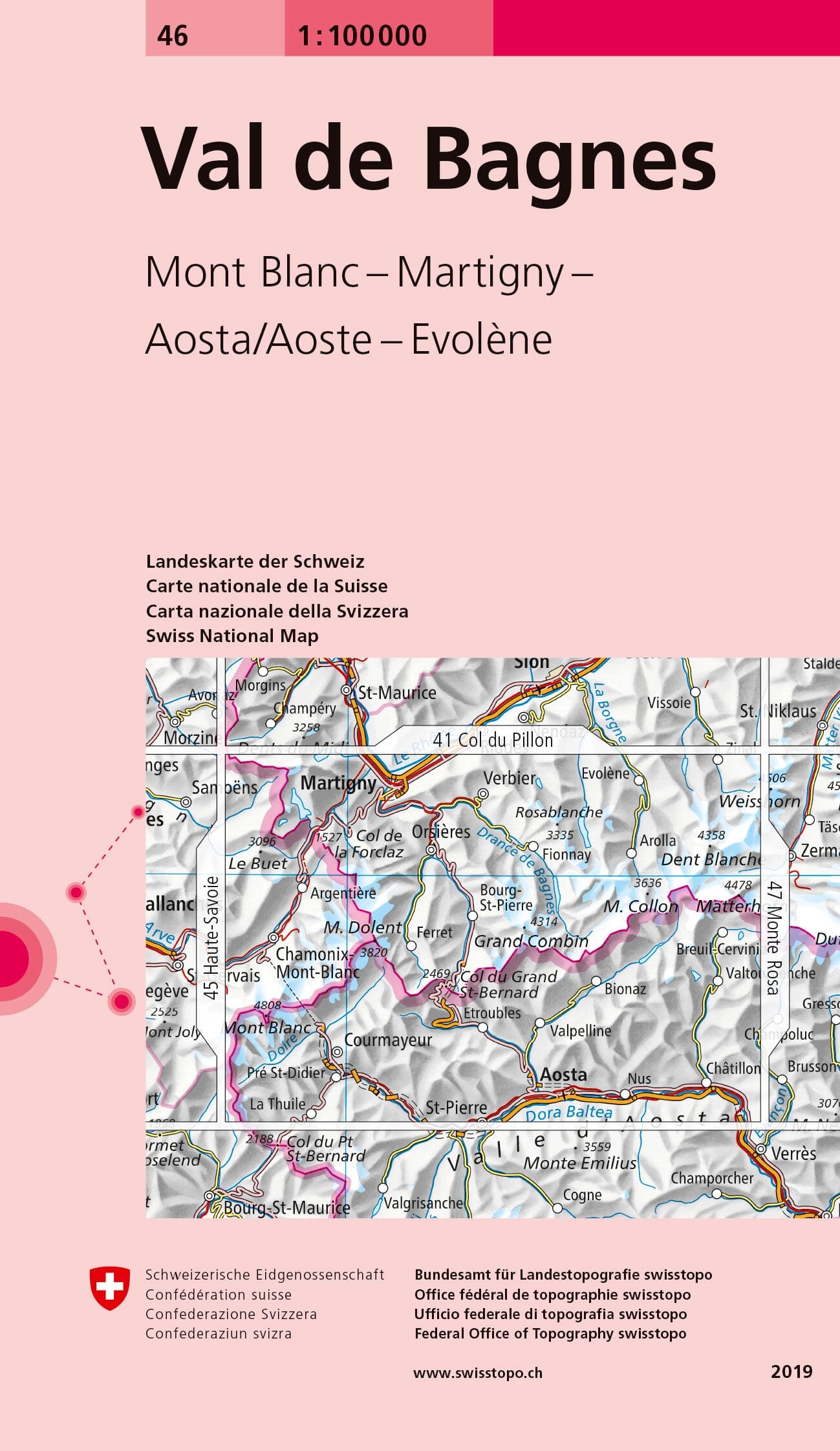
Topographic map No. 46 - Val de Bagnes (Switzerland) | Swisstopo - 1:100,000

Price
Regular price 1450 €
Regular price Sale price 1450 €
/
  • Shipped within 24 to 48h from our warehouse in France
  • Free returns (*)
  • Real-time stock levels
  • Cartovia Guarantee – Delivery issue?
    We resend immediately upon receiving a simple photo.
  • Low stock - 1 item left
  • Backordered, shipping soon
Tax included.

Frequently bought together:

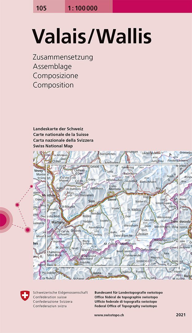
Val de Bagnes (Switzerland) is covered on this topographic map published by Swisstopo. Reference: 46.

This map is intended for hiking.

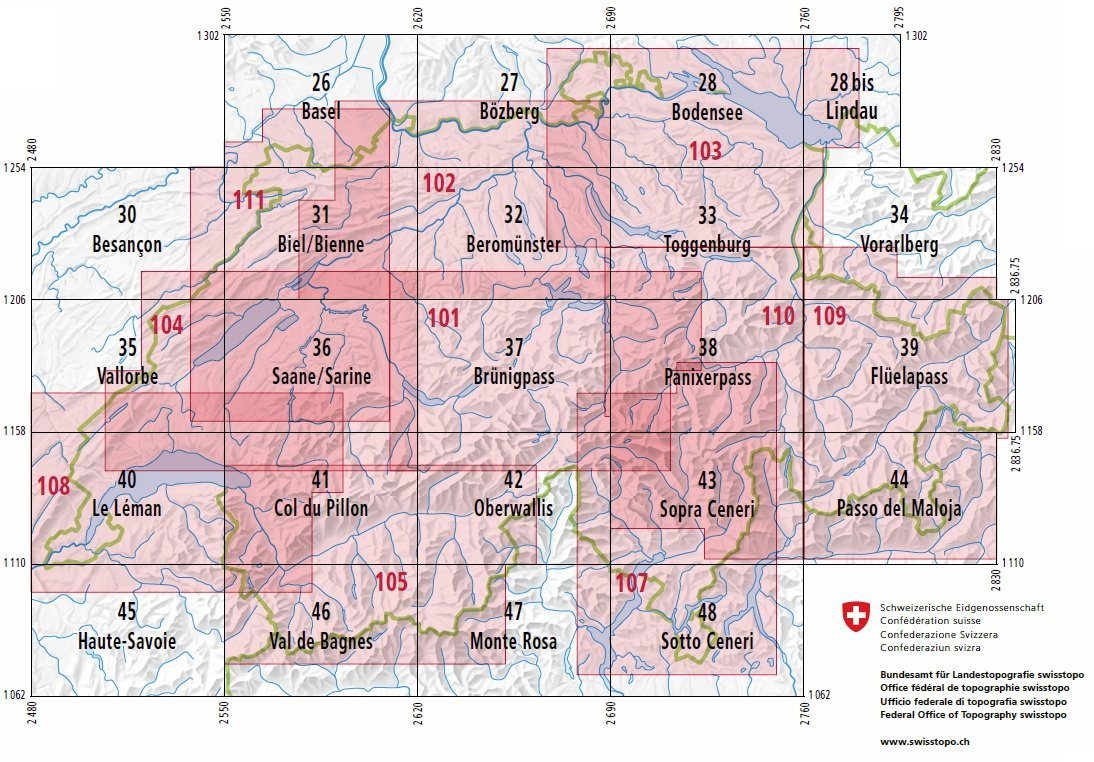
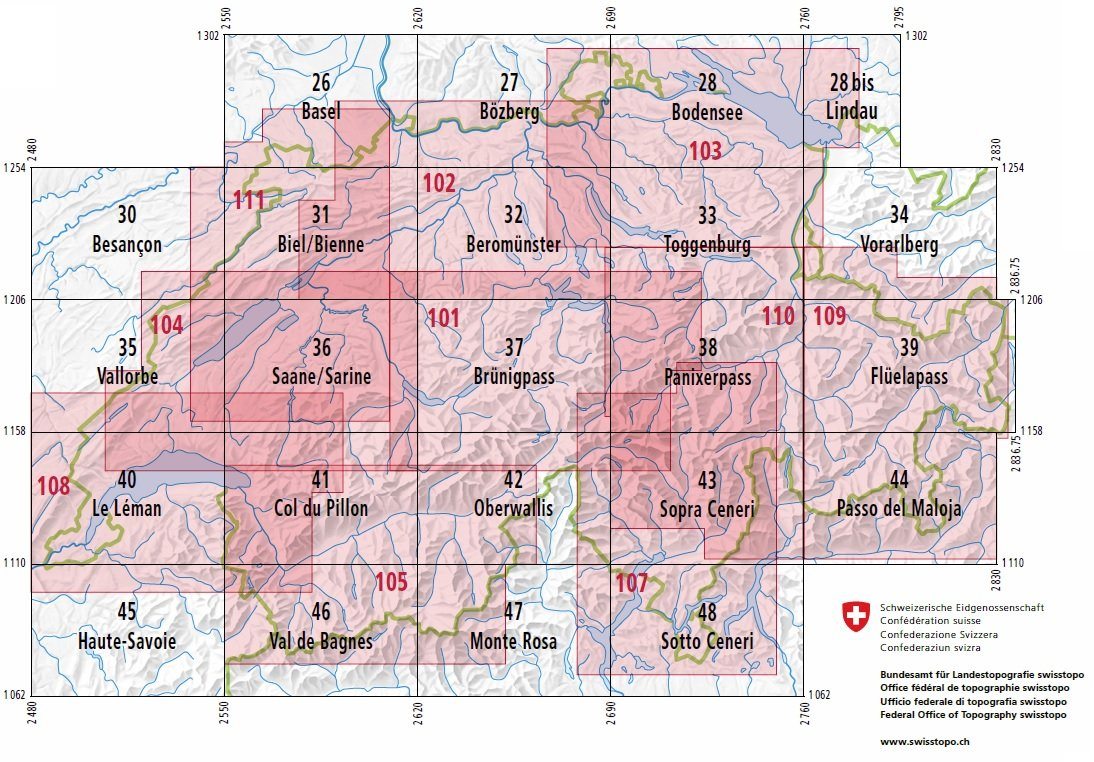
Coverage extends from Chamonix in the west to Chatillon in the east, and from Martigny in the north to Aosta in the south. It includes Mont Blanc and Verbier.

  • Complete rail network, all motorways and expressways, and most roads and paths.
  • Motorway service areas, motorways and national roads identified.
  • Accurate depiction of settlements and terrain.
  • Key explaining numerous mapped features.

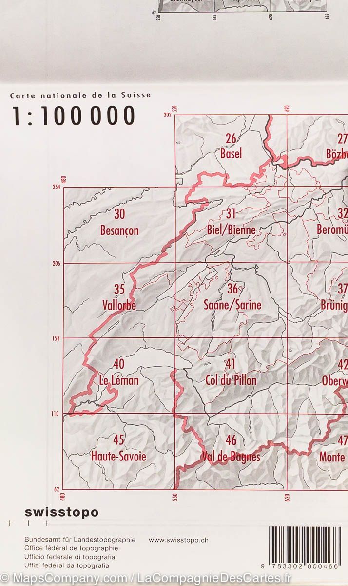
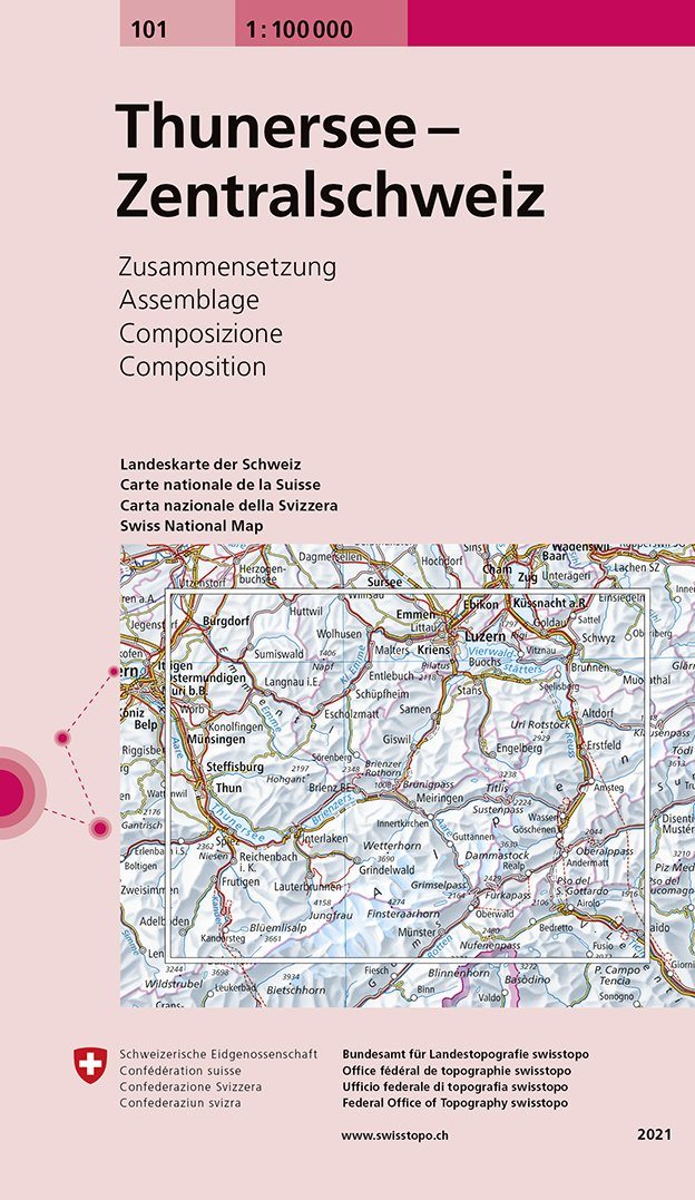
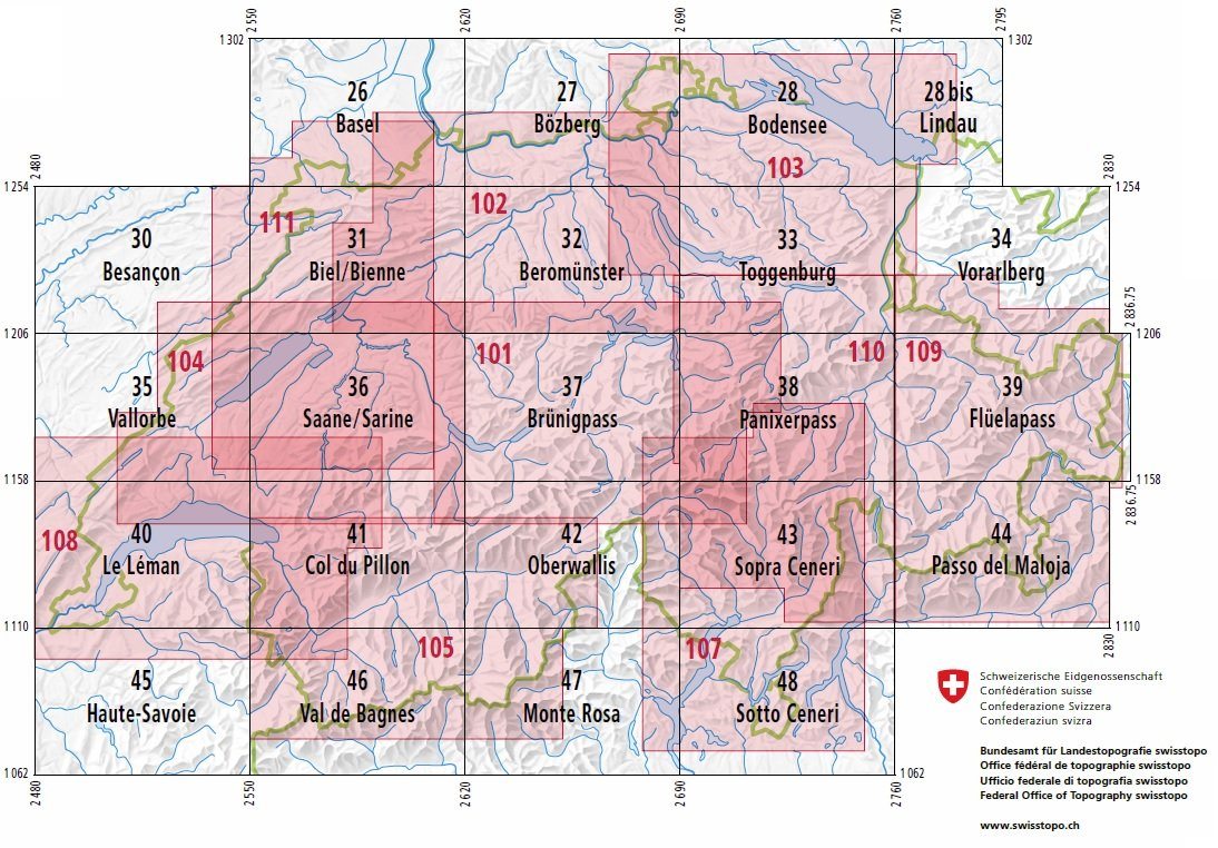
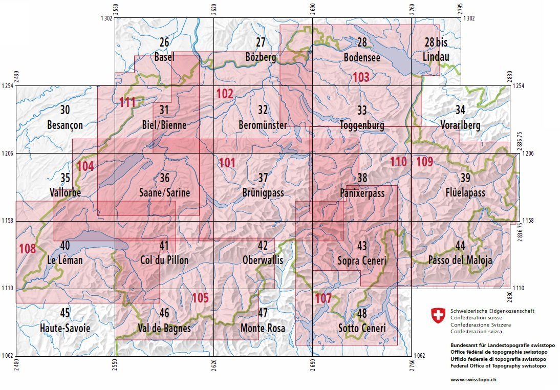
The 1:100,000 series (1 cm = 1 km) comprises 26 maps of Switzerland and neighbouring areas, plus 6 composite maps covering regions of tourist or geographical interest.


ISBN/EAN : 9783302000466
Publication date: 2019
Scale: 1/100,000 (1cm=1km)
Printed sides: front
Folded dimensions: 13 x 19cm
Unfolded dimensions: 78 x 56cm
Language(s): multilingual including French
Weight: 44 g