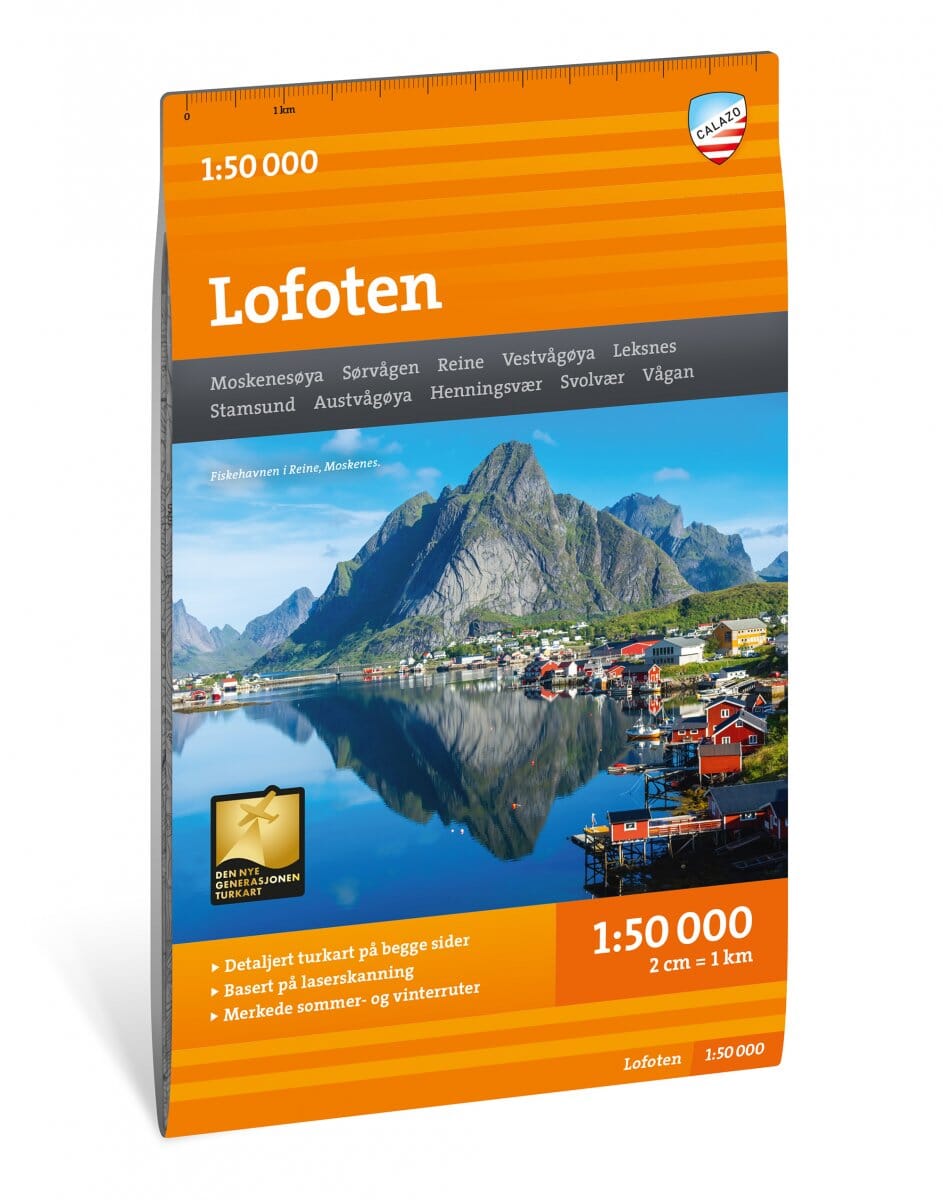
Hiking Map No. 17057 - Western Lofoten Turkart Pro | Nordeca - 1:50,000

Price
Regular price 2850 €
Regular price Sale price 2850 €
/
  • Shipped within 24 to 48h from our warehouse in France
  • Free returns (*)
  • Real-time stock levels
  • Cartovia Guarantee – Delivery issue?
    We resend immediately upon receiving a simple photo.
  • In stock, ready to ship
  • Backordered, shipping soon
Tax included.

Frequently bought together:

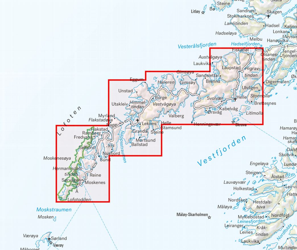
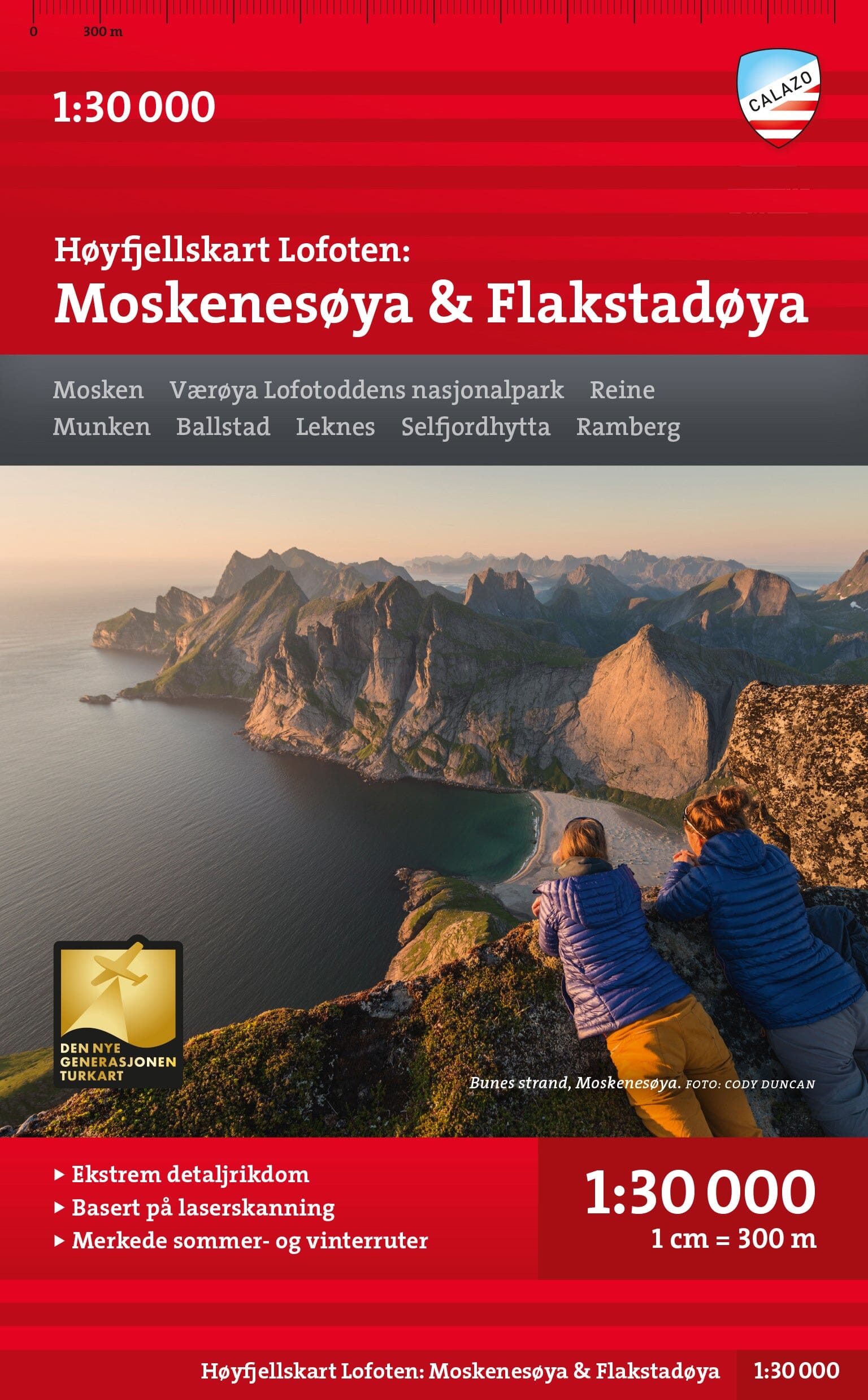
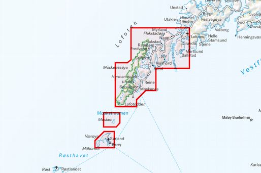
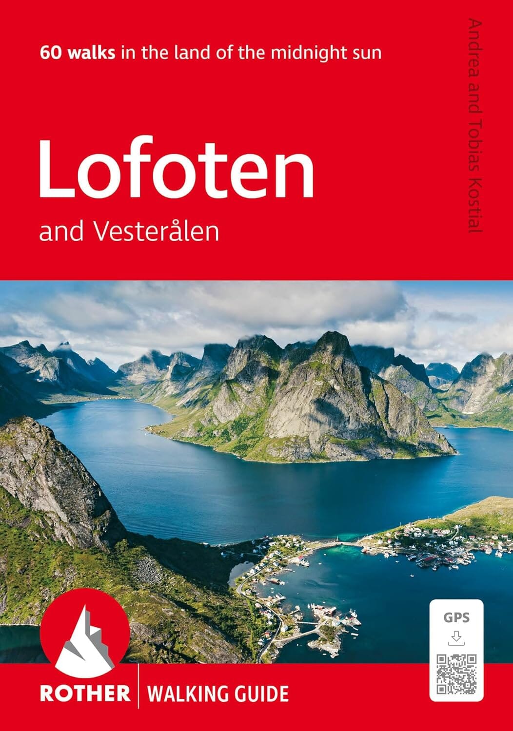
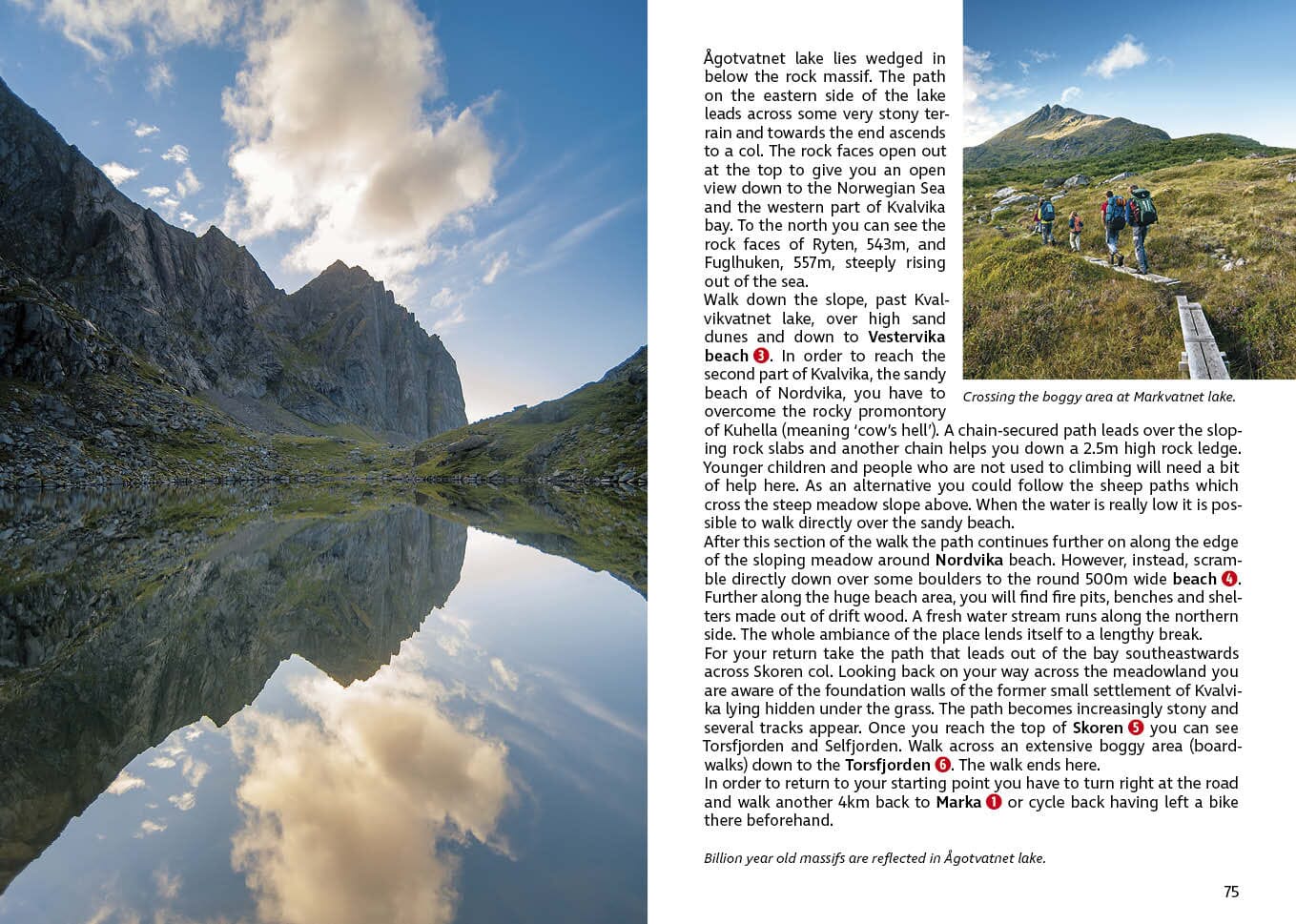
Explore the western part of the Lofoten Islands with this Turkart Pro Nordeca hiking map at 1:50 000 scale. Published in 2026, it notably covers Flakstadøya, Moskenesøya, Ramberg, Reine, Røst and Å, as well as the spectacular Moskstraumen area.

Designed for hiking, cycling and outdoor activities, this waterproof map integrates a wealth of practical information from the DNT, as well as the main trails, huts and mountain routes.

Map Information

  • Scale: 1:50 000
  • Format: 70 × 100 cm
  • Edition: 2026
  • Languages: Norwegian / English
  • Waterproof map
  • DNT information
  • Hiking, cycling and skiing trails
  • Practical information on orientation with map, compass and GPS

Main areas covered

  • Lofoten
  • Flakstadøya
  • Moskenesøya
  • Lofotodden
  • Ramberg
  • Reine
  • Sørvågen
  • Å
  • Røst
  • Værøya
  • Moskstraumen
  • Hermannsdalstinden

Main huts and accommodations

The map notably indicates Munkebu, Selfjordhytta and Fredvang.


ISBN/EAN : 7046660170571
Publication date: 2026
Scale: 1:50,000 (1 cm = 500 m)
Printed sides: Duplex
Folded dimensions: 5.5 x 8.3 in
Unfolded dimensions: 100 x 70 cm
Language(s): English, Norwegian
Weight: 54 g