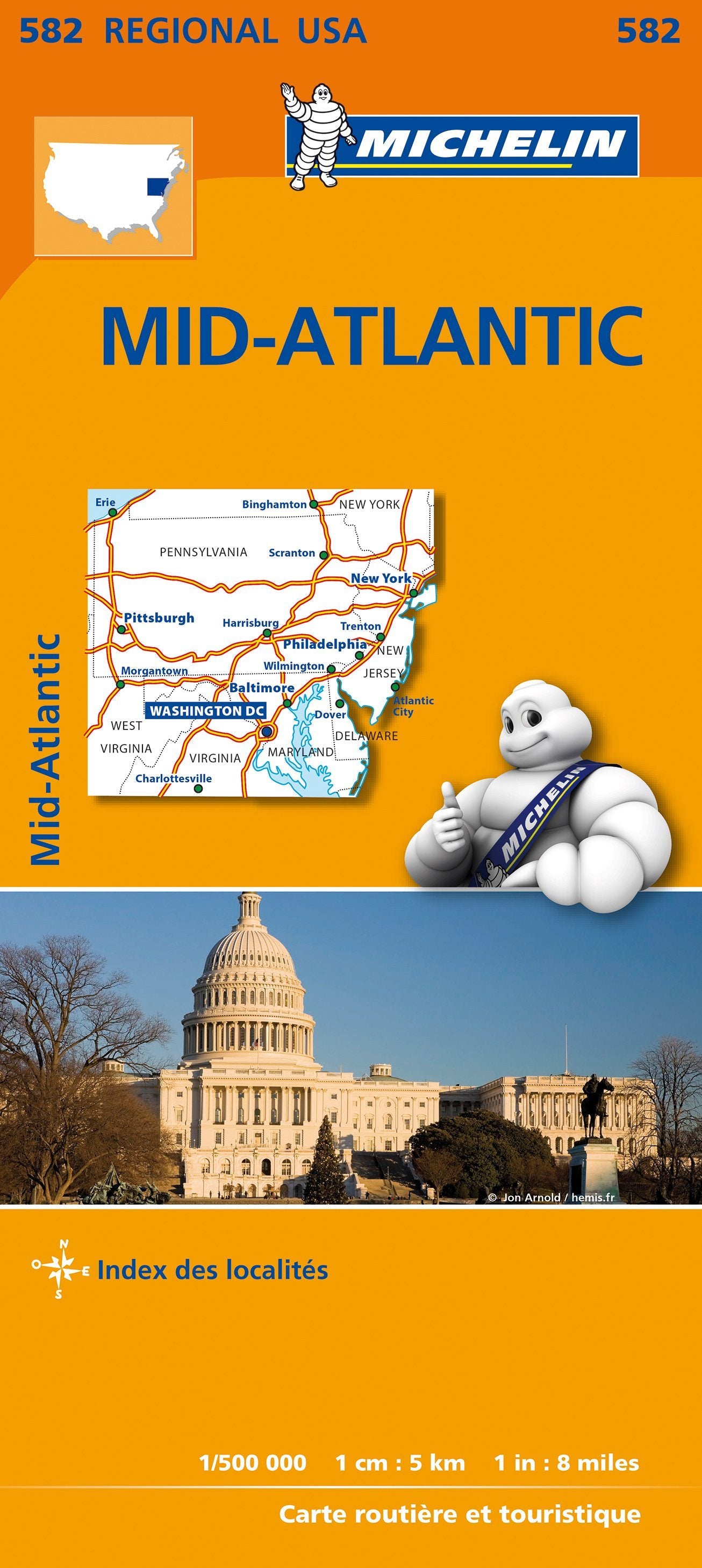
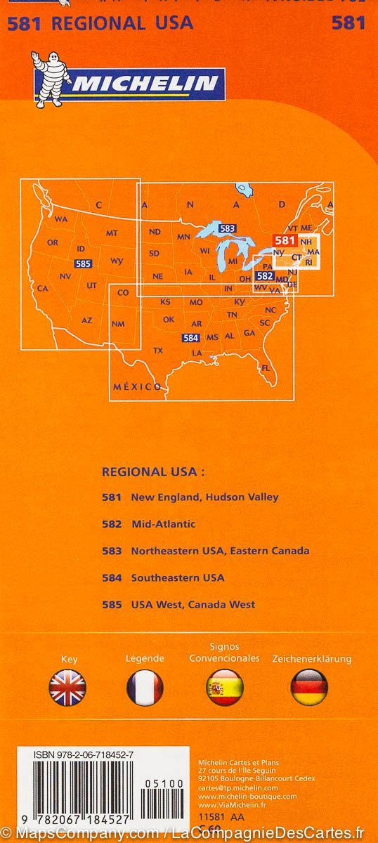
Planning Map (English) - Mid-Atlantic USA | Lonely Planet

Price
Regular price 890 €
Regular price Sale price 890 €
/
  • Ships within 24 business hours from our warehouse in France
  • Free returns (*)
  • Real-time stock levels
  • Cartovia Guarantee – Delivery issue?
    We resend immediately upon receiving a simple photo.
  • Low stock - 2 items left
  • Backordered, shipping soon
Tax included.

Frequently bought together:

The Lonely Planet Mid-Atlantic USA planning map is an ideal companion for organizing your trip to the northeastern United States. Durable and waterproof, it is designed for practical use in the field thanks to its foldable format and protective sleeve.

Much more than just a map, it includes itinerary suggestions, information on must-see sites, and practical tips for preparing and optimizing your stay in this region rich in history and major cities.

📌 Features

  • Waterproof and durable map
  • Compact foldable format (easy-fold)
  • Protective sleeve included
  • Color cartography, clear and readable
  • Practical information before departure
  • Suggestions for personalized itineraries
  • Selection of must-sees by region
  • Detailed city index
  • Transport guide
  • Thematic lists for organizing your trip
  • Inspiring illustrations

🌍 Areas covered

New York, Pennsylvania, New Jersey, Washington DC, Maryland, Delaware, Virginia


ISBN/EAN : 9781788685979
Publication date: 2026
Printed sides: both sides
Folded dimensions: 9 x 18 cm
Language(s): English
Weight: 28 g