Road map - South-Western Alberta & South-Eastern British Columbia | Gem Trek

Price
Regular price 1220 €
Regular price Sale price 1220 €
/
  • In stock in France and in the UK
    Shipped within 24 to 48h from the warehouse closest to you
  • Free returns (*)
  • Real-time stock levels
  • Cartovia Guarantee – Delivery issue?
    We resend immediately upon receiving a simple photo.
  • In stock, ready to ship
  • Backordered, shipping soon
Tax included.

Frequently bought together:

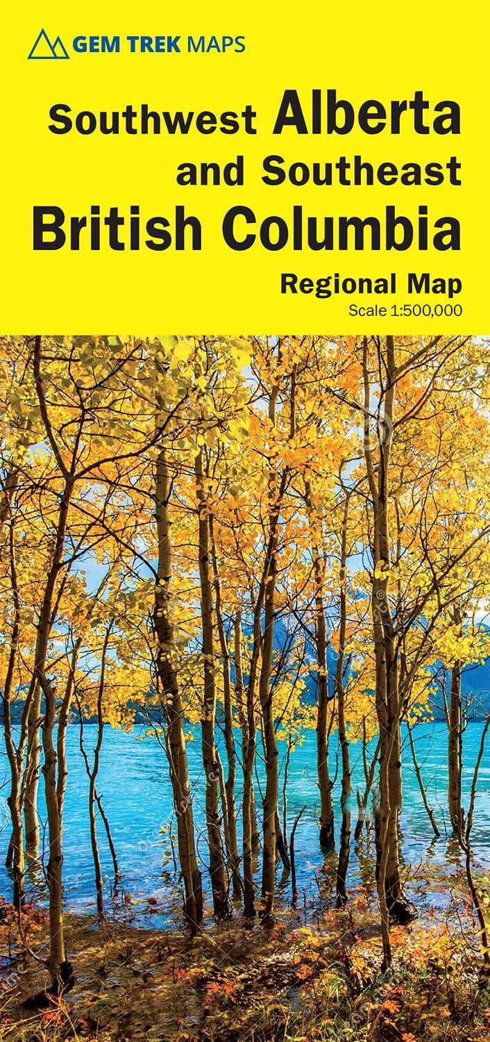
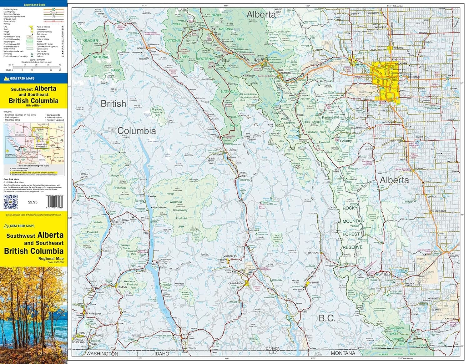
This South-Western Alberta and South-Eastern British Columbia road map supports exploration on both the eastern and western sides of the Canadian Rockies. It covers the Alberta foothills, the Kootenays in British Columbia and west-central Alberta, with spectacular landscapes, scenic roads and lesser-known natural sites.

  • All main and secondary roads, including major highways.
  • National and provincial parks, plus protected wilderness areas.
  • Little-known minor roads for exploring beyond the usual routes.
  • Campsites, hot springs, lodges and nature-based accommodation.
  • Distance tables between the main towns, cities and localities on both sides.

A navigation reference for road-trip, camping, hiking, nature and wildlife-watching enthusiasts who wish to explore a large, varied region at their own pace, away from the usual tourist areas.


ISBN/EAN : 9781990161216
Publication date: 2025
Scale: 1/500,000 (1 cm = 5 km)
Printed sides: both sides
Folded dimensions: 24.7 x 11.5 x 0.5cm
Unfolded dimensions: 79 x 62cm
Language(s): English
Weight: 43 g