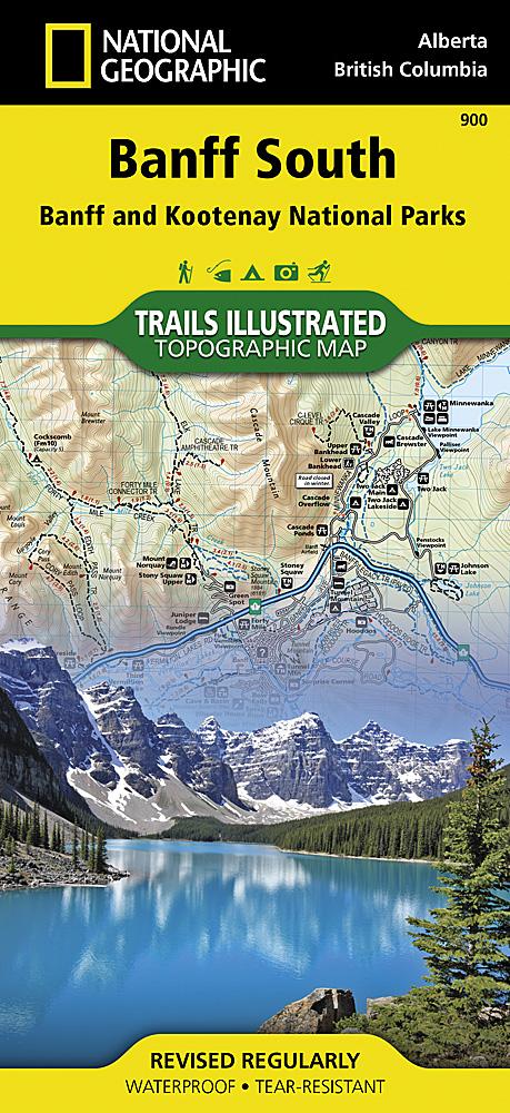
Hiking map no. 900 - Banff South (Banff & Kootenay National Parks) | National Geographic

Price
Regular price 1590 €
Regular price Sale price 1590 €
/
  • In stock in France, in the USA and in the UK
    Shipped within 24 to 48h from the warehouse closest to you
  • Free returns (*)
  • Real-time stock levels
  • Cartovia Guarantee – Delivery issue?
    We resend immediately upon receiving a simple photo.
  • In stock, ready to ship
  • Backordered, shipping soon
Tax included.

Frequently bought together:

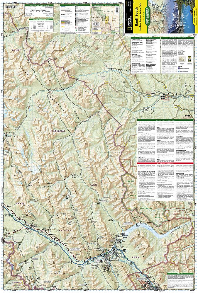
Topographic map of Banff and Kootenay National Parks in the Canadian Rockies, published by National Geographic.

  • Contour lines and hiking trails.
  • Accommodation (campsites) and ranger stations.

Coverage includes the southern and eastern parts of Banff National Park, with popular points of interest such as Lake Minnewanka, Bow River, Johnston Canyon and the town of Banff.

Other areas covered include Kootenay National Park, Scalp Creek Natural Area, Panther Corner, Dormer Sheep and Ghost PLUZs, Wild Horse and Red Deer River recreation areas, Height of the Rockies, Don Getty and Bow Valley Wildland Provincial Parks, Ghost River Wilderness Area and Mount Assiniboine.

Scale: 1:100 000 (1 cm = 1 km).


ISBN/EAN : 9781566956581
Publication date: 2020
Scale: 1/100,000 (1cm=1km)
Printed sides: both sides
Folded dimensions: 23.5 x 10.9cm
Unfolded dimensions: 95x65cm
Language(s): English
Weight: 89 g