Pin board - Physical World - 136 x 84 cm | Maps International
- Made-to-order product – Shipping from September 1st
-
Cartovia Guarantee – Delivery issue?
We resend immediately upon receiving a simple photo.
📦 Hard-to-find maps - worldwide shipping
📦 Hard-to-find maps & travel guides - worldwide shipping, 30-day returns
🌞 Summer travel: 20,000+ maps in stock
🌞 Plan your summer: 20,000+ maps and travel guides in stock Details →
✅ Latest editions guaranteed — since 2010
✅ Latest editions guaranteed - 180,000+ travellers equipped since 2010
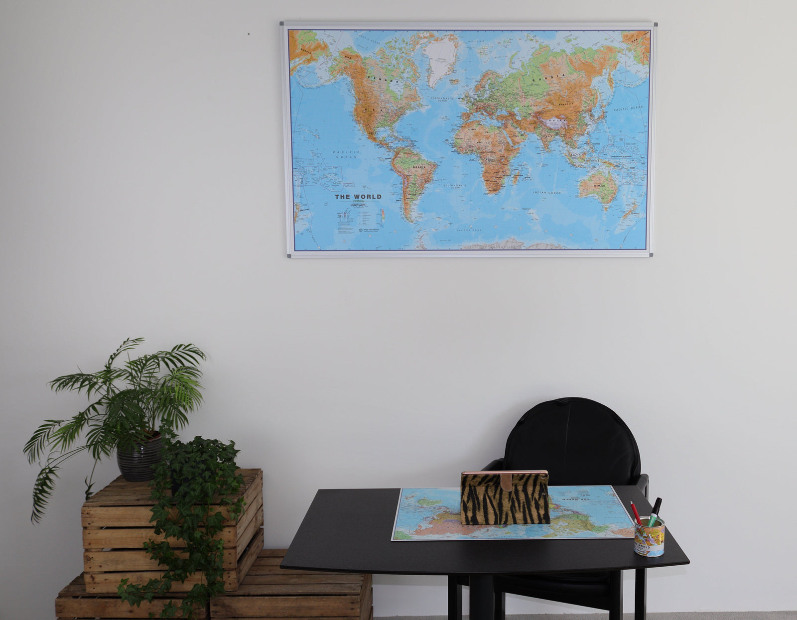
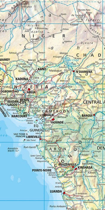
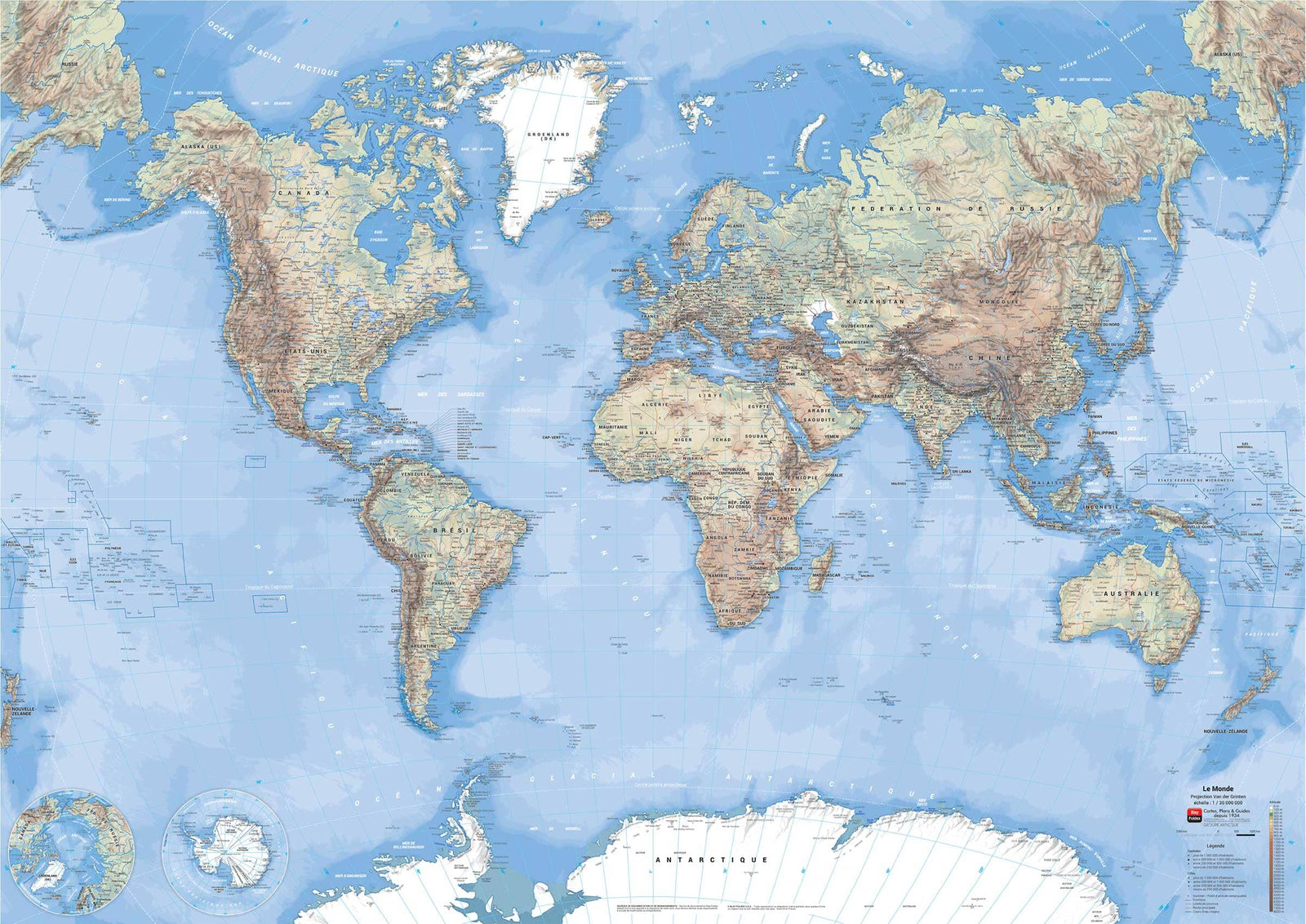
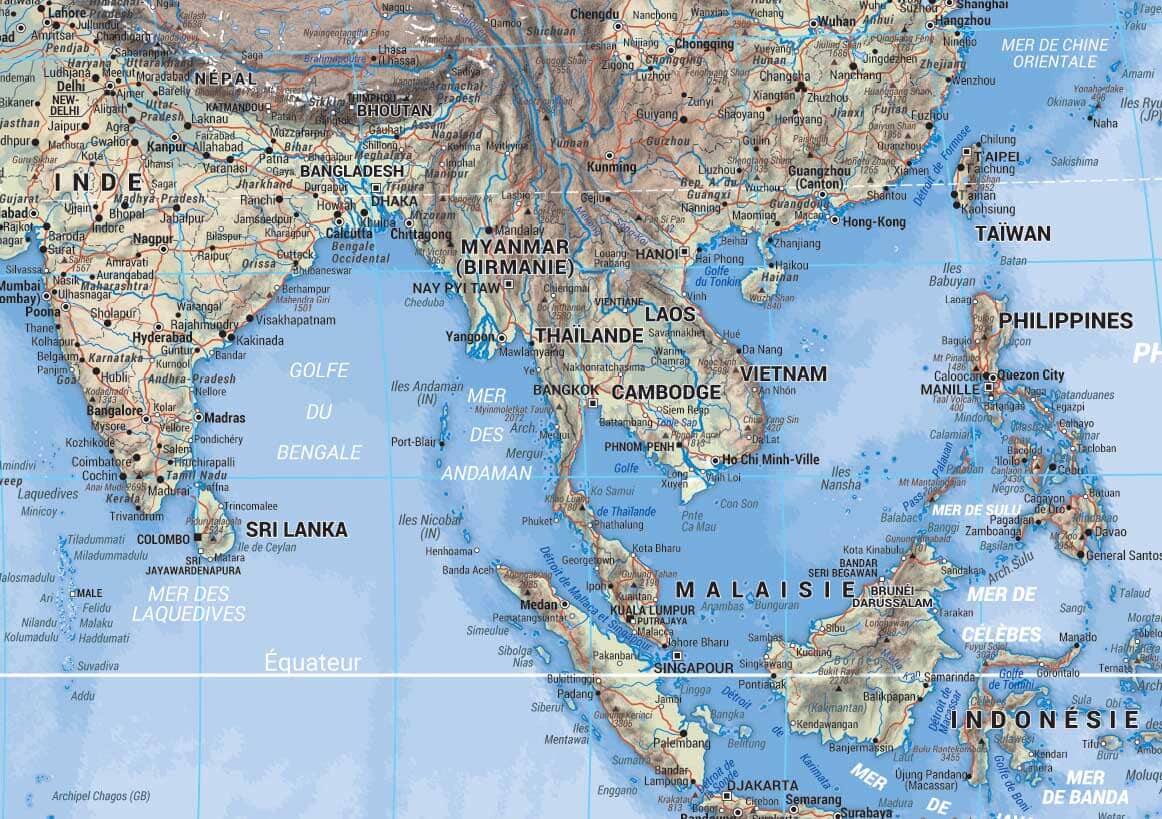
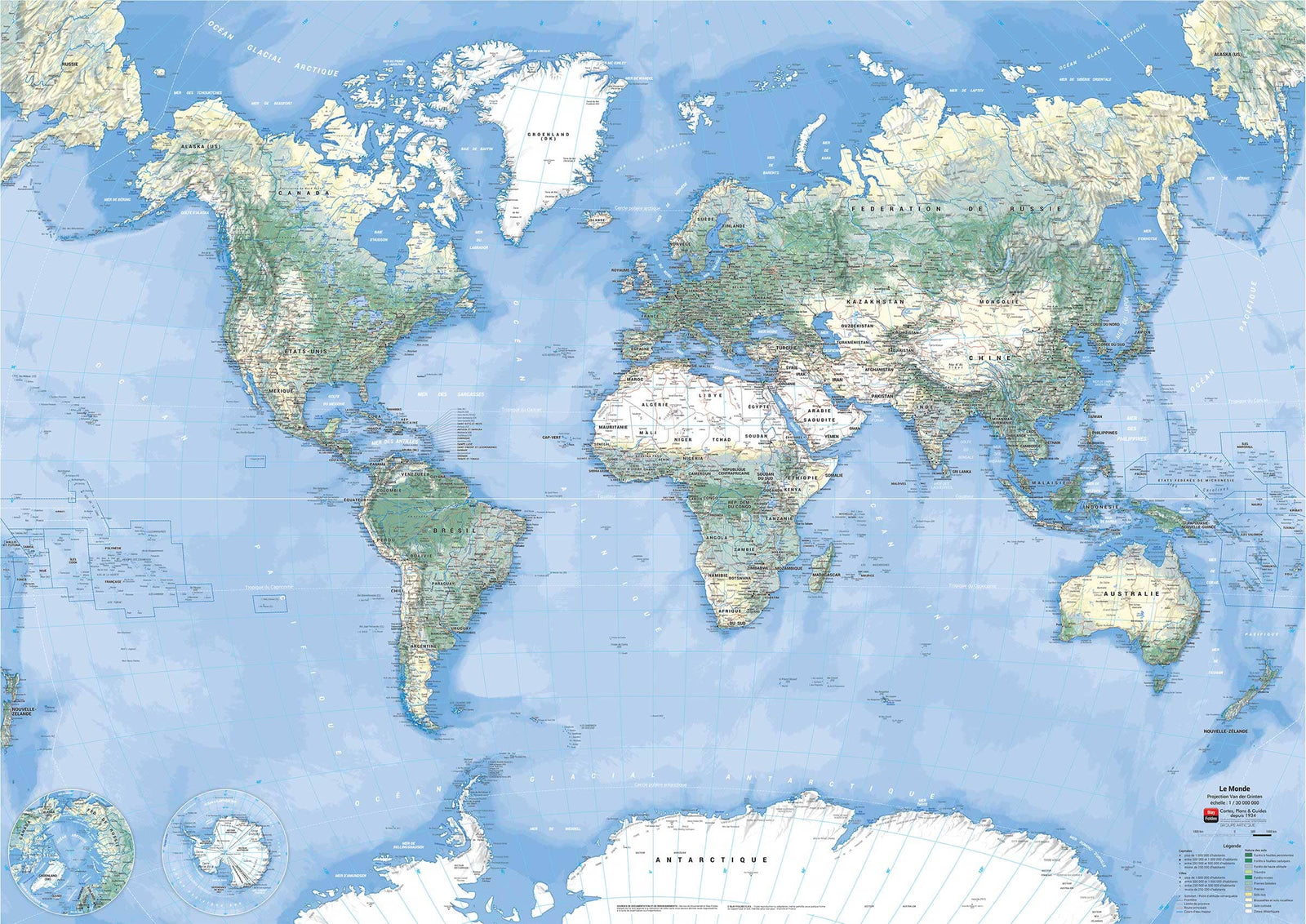
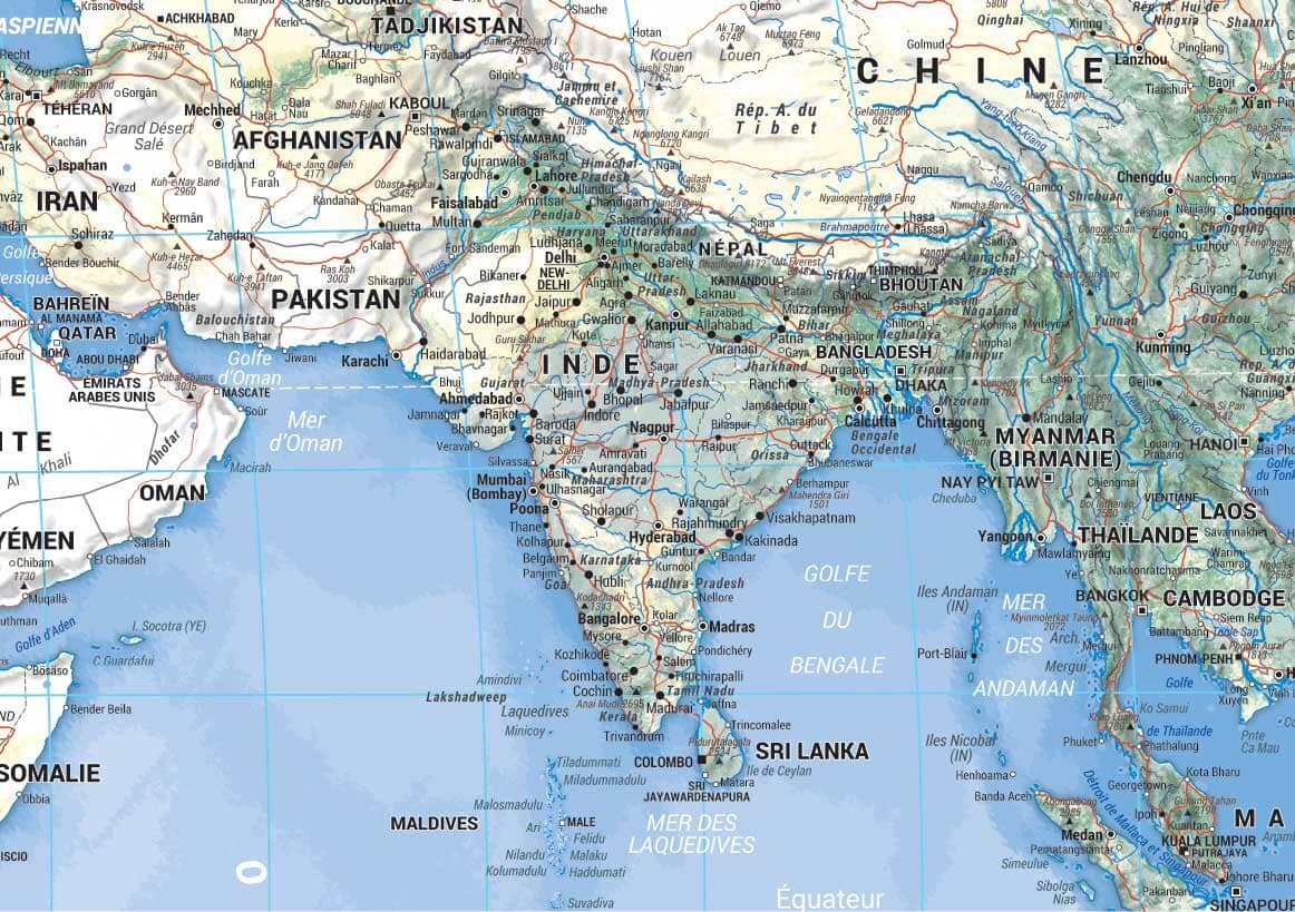
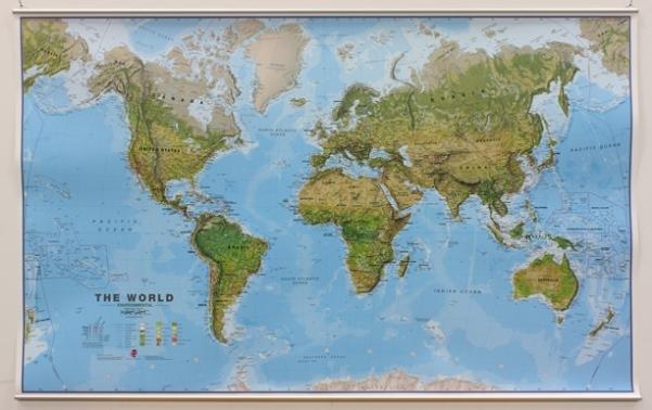
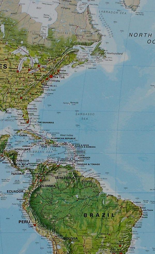
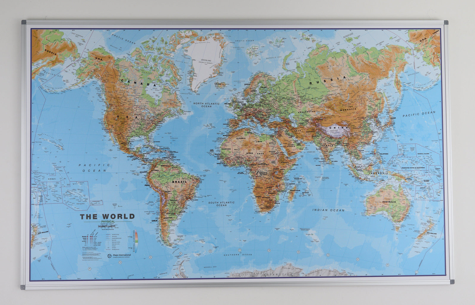
Phaling panel of the physical world (in English). The physical relief is successfully combined with rivers and country names. The borders are clearly displayed.
A sludge shows the mountain almost indeed 3D. A symbol makes it possible to identify the highest mountain of continents and different countries.
The country names and their limits are clearly indicated. Symbols indicate capitals as well as states capitals or provinces (where possible). In the United States, Canada, Brazil and Australia territory, the internal boundaries of state or provinces are indicated.
The ocean depth variation is indicated by several color shades. The middle of the Pacific, Alaska / Siberia to New Zealand is taken over, on both ends of the map for better representation of this region. The projection used is The projection of van der grinten.
Dimensions: 136 x 84 cm .
Please note: An additional delay of a few days is necessary for the manufacture and packaging of this panel.
The delivery is ensured by carrier.
Manufacturing information : the Map is glued on a polystyrene plate (kapamount) and then laminatedized, which allows the use of dry felts and pins. The panel is finished in an aluminum frame with rounded gray color angles.
ISBN / EAN : PR.IM.EN.30.PHYS
Date de publication : 2023
Echelle : 1/30,000,000 (1cm=300km)
Impression: front
Dimensions déplié(e) : 136 x 84cm
Langue : English
Poids :
5000 g
The exclusive newsletter for travel and discovery enthusiasts!