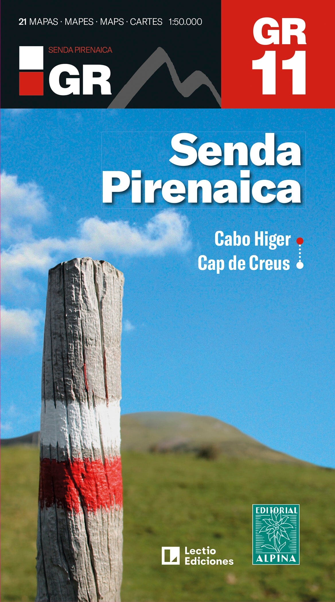
GR 11 – Across the Pyrenees, from Cabo Higer to Cap de Creus.
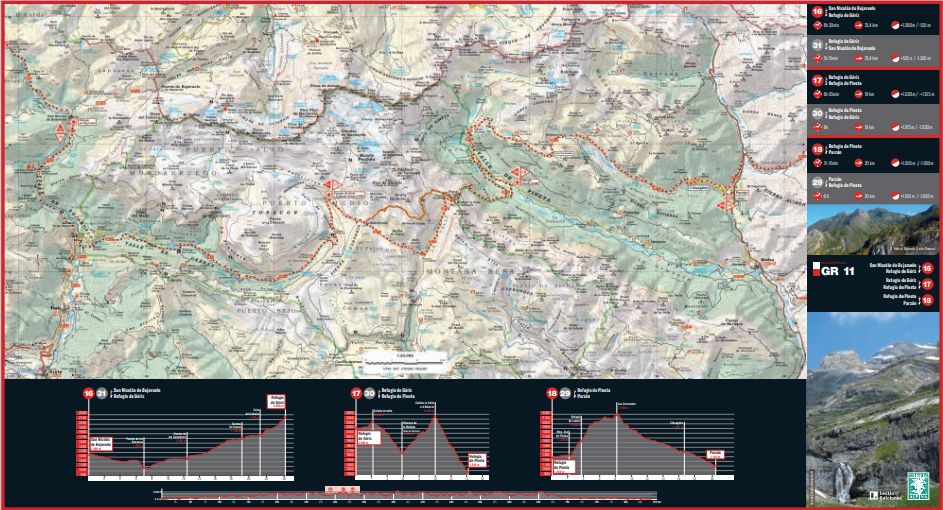
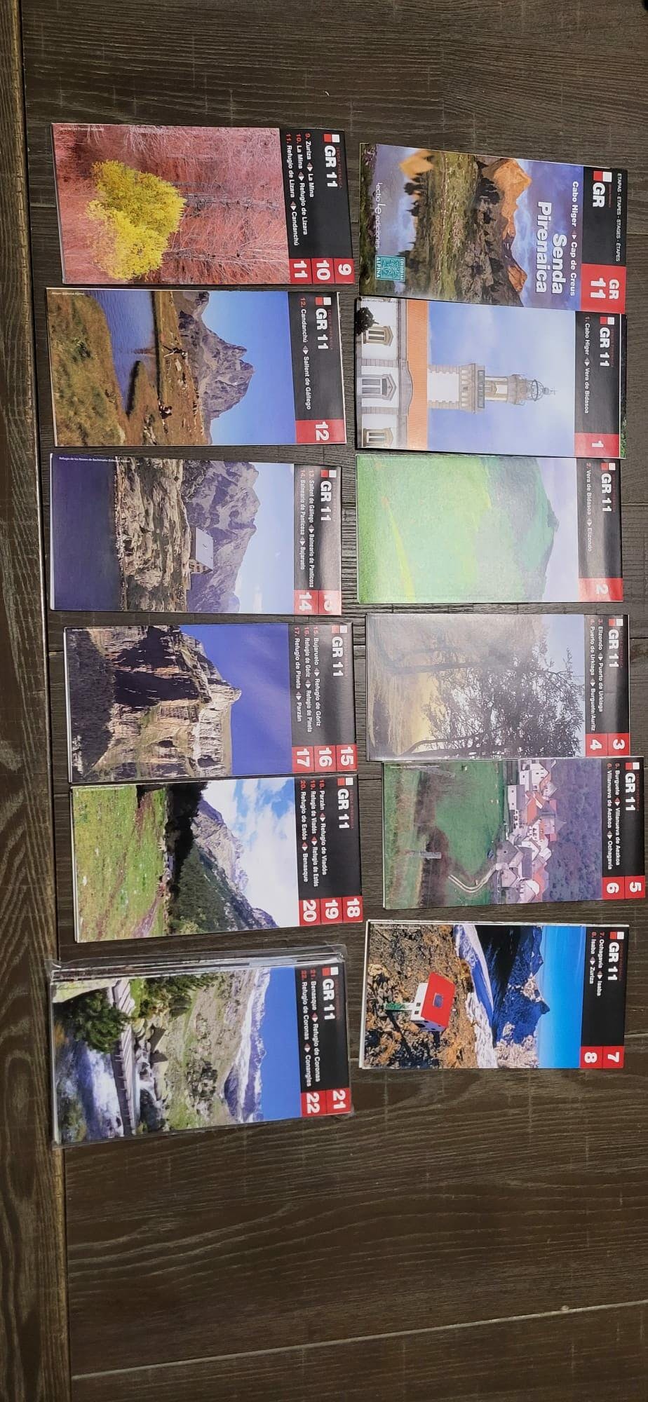
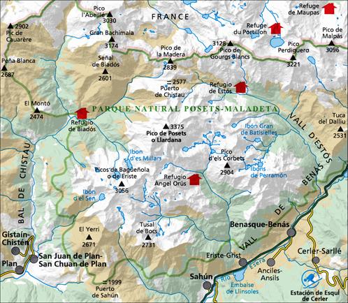
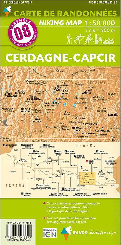
This new, revised and updated edition of the GR 11 maps covers the route from the Atlantic to the Mediterranean. It contains 21 topographic maps at 1:50,000, covering the 46 stages of the GR 11. Each section has technical details for travel in both directions, together with profiles for parts of each stage.
- 21 maps at 1:50,000.
- 46 stages.
- Stage elevation profiles.
- Locations of mountain huts, lodges, campsites and hotels.
- Average walking times.
The GR 11, also known as the Senda, crosses the entire Pyrenees from east to west on Spanish territory, covering approximately 770 km from Cap de Creus to Cabo Higer in 40 stages. It passes through Catalonia, a small part of Andorra, Aragon and Navarre, finishing in Gipuzkoa.
From wooded foothills on paths and tracks to the high mountains, scree and grassy slopes, the route explores every mountain zone. In Catalonia, dry landscapes, scrub, cork oaks and sunlit monasteries give way at Setcases to the high passes. Then come the Encantats, the “enchanted” mountains, and the countless lakes of Aigüestortes National Park. The route ventures on to the foot of Aneto and then Posets.
Ordesa, Añisclo and Monte Perdido follow: “The relentless beauty of nature, the slow mirage of erosion, a collision of the senses,” in the fervent words of P. Macia. Hikers then enter Navarre, with its rolling green hills and forests as deep as those at the beginning of the world. Finally, just before the ocean, Gipuzkoa offers oaks, springs and wood-pigeon hunting hides.
This traverse is one of the most spectacular adventures available in Europe. Easier than the HRP but more physically demanding than the GR 10, the Senda calls for more initiative and instinct than its French counterpart.