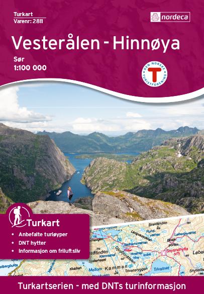
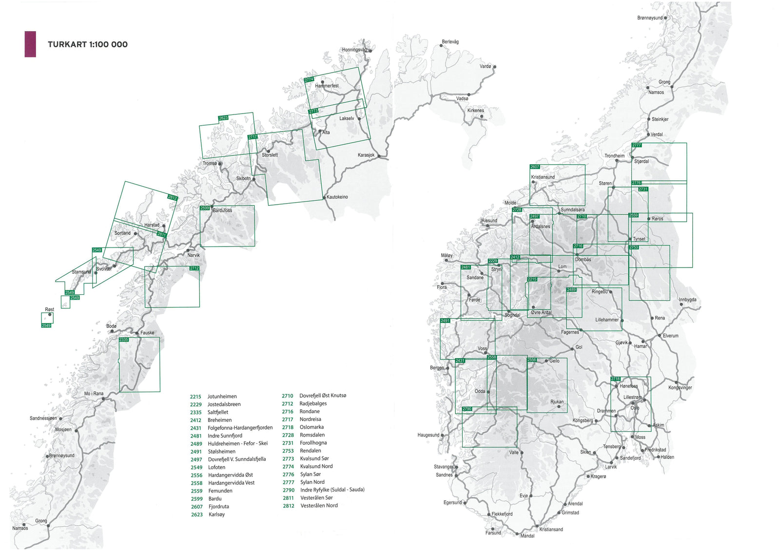
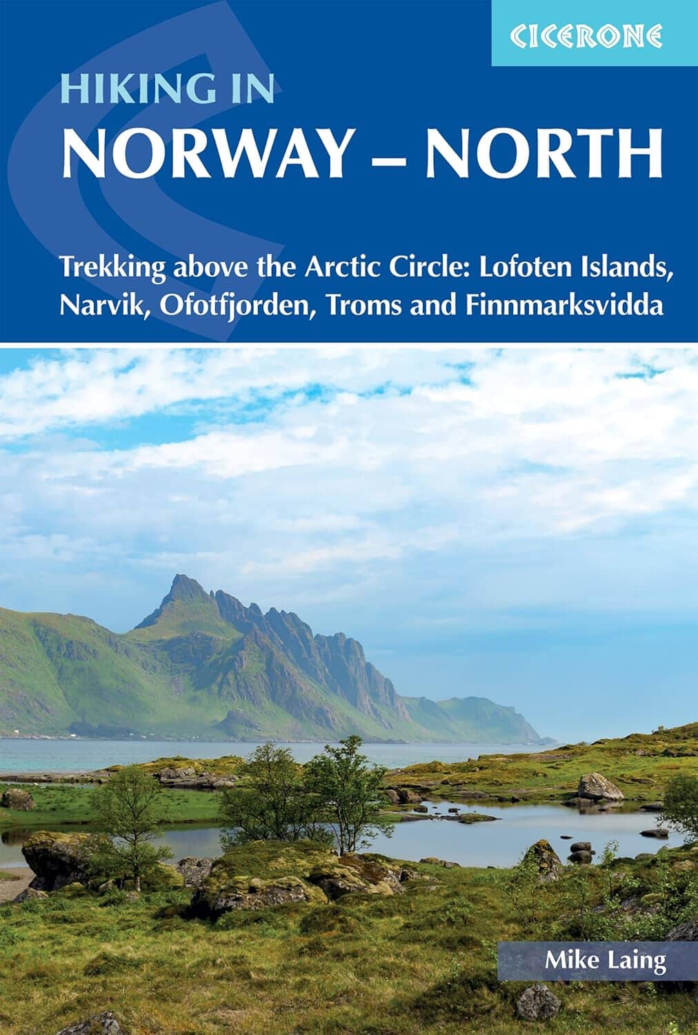
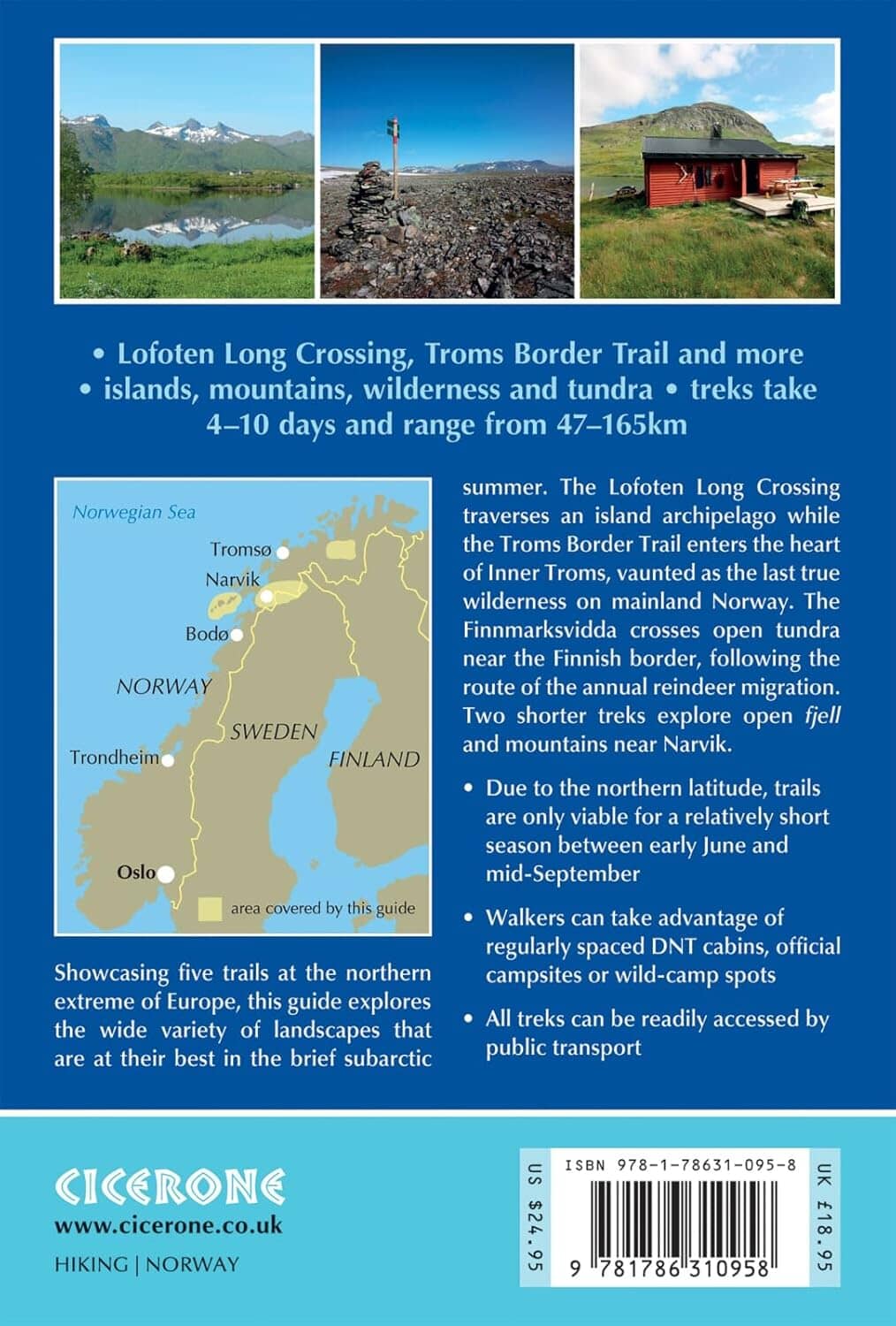
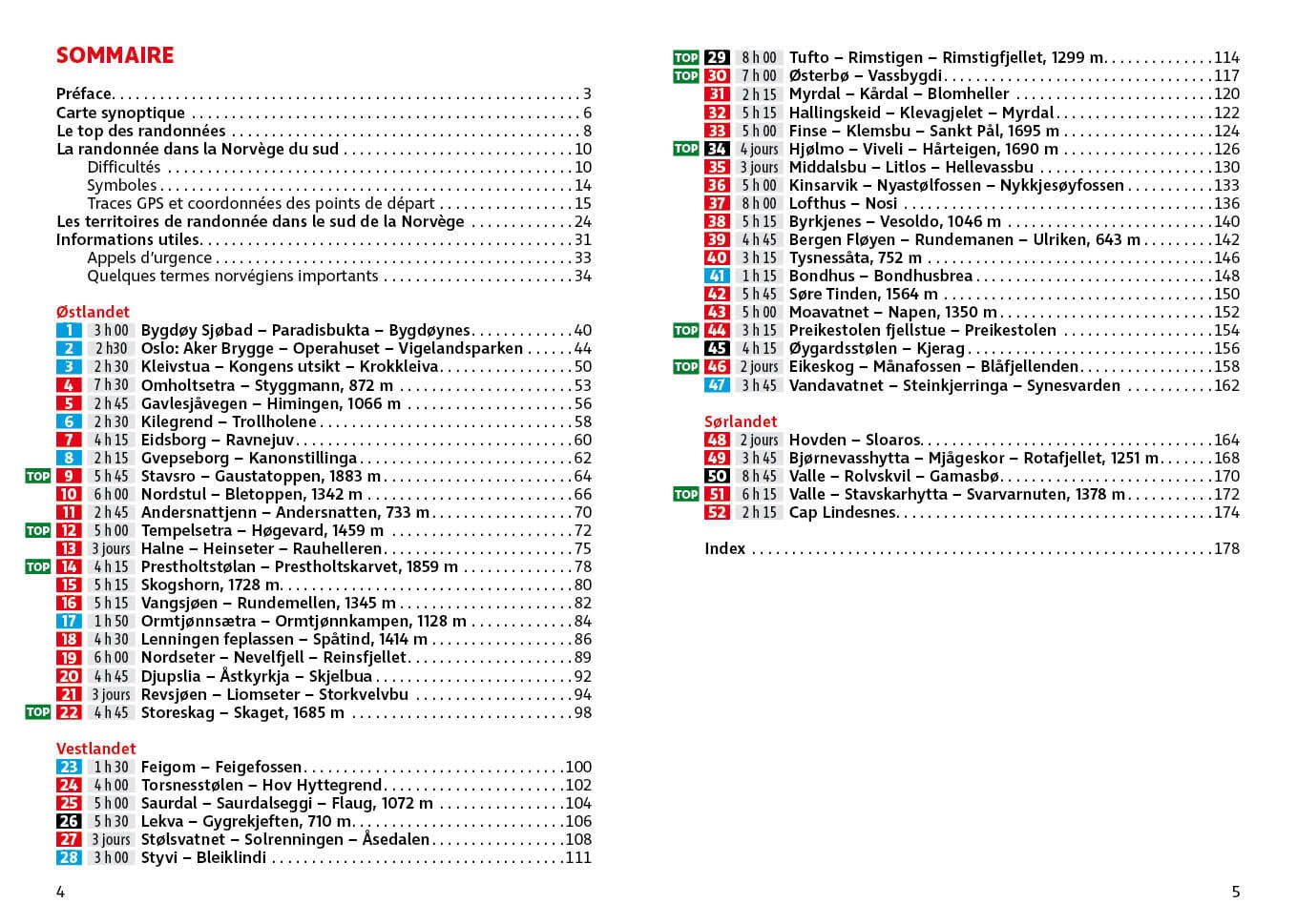
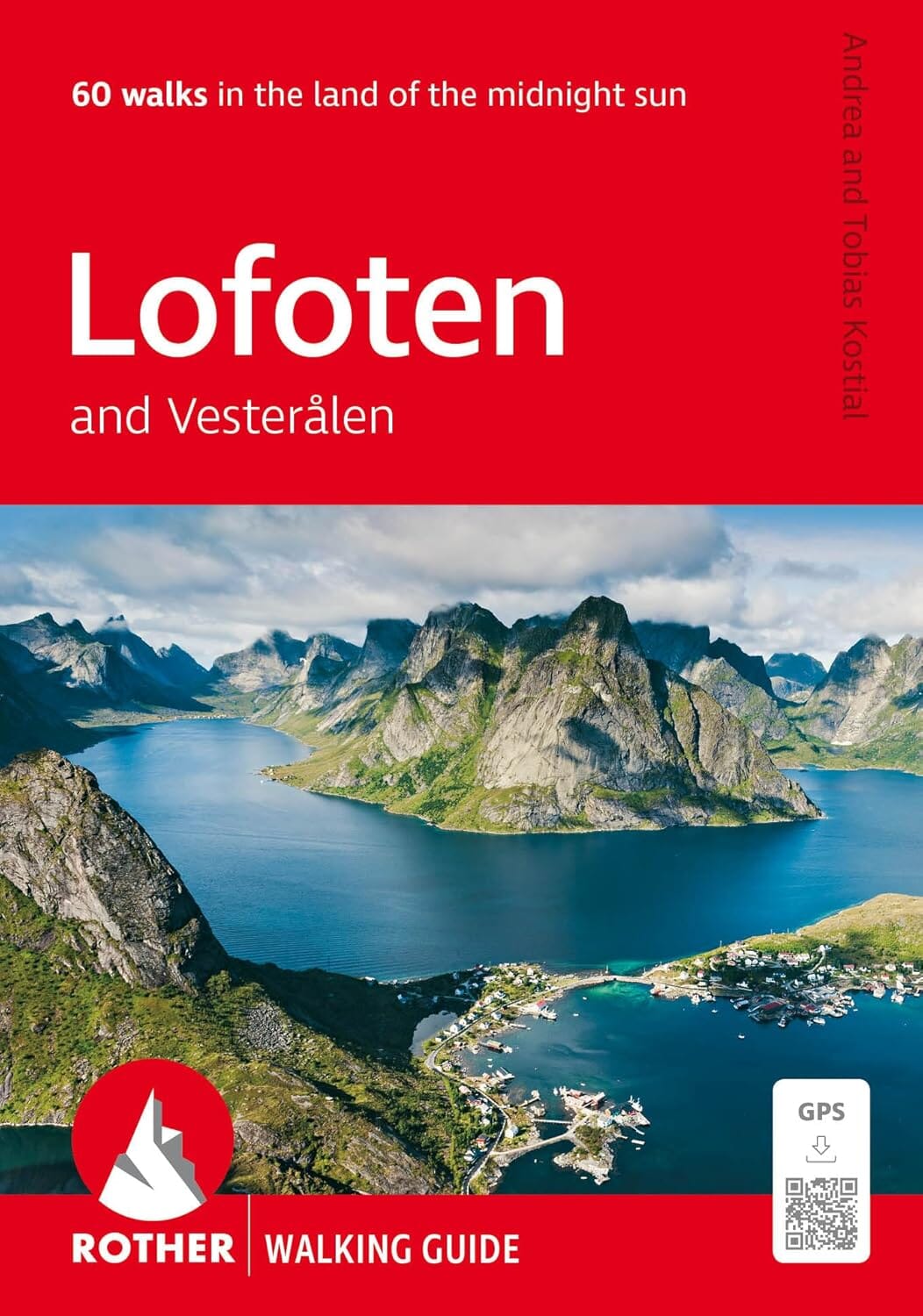
This hiking map no. 2811 covers Vesteralen - Hinnoya South (Norway).
This excellent hiking map belongs to Nordeca’s Turkart series, at a scale of 1:100 000 (1 cm = 1 km). Norwegians also use this series for their mountain hikes.
- Staffed and unstaffed huts, campsites and river crossings.
- Hiking routes and, often, cross-country ski trails.
- Topographic details: contour lines, landscape types and road network.
- UTM grid.
- Key in Norwegian and English; additional information on the reverse in Norwegian.
- Map supplied in a plastic case.
Several series of hiking maps of Norway are available on our website: Turkart 1:100 000, Turkart 1:50 000 and Turkart 1:25 000, published by Nordeca.
Place names listed in the supplied description: Austvågøya, Bognes, Bo, Durmålstinden, Fiskebøl, Gullesfjord, Hadseløya, Hinnøya, Kaljord, Langøya, Laukvika, Litløy, Lødingen, Melbu, Møysalen National, Ofoten, Raftsundet, Rinøy, Sigerfjord, Skagen, Snøkolla, Sortland, Stokmarknes, Straume, Sørvika, Tjeldsundet, Tjeldøya, Vesterålen, Vesterålsfjorden, Øksfjorden.