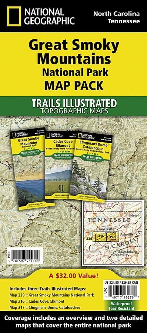
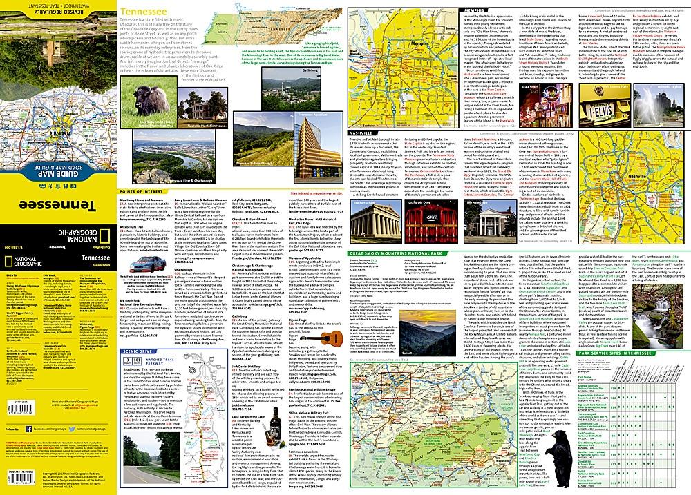
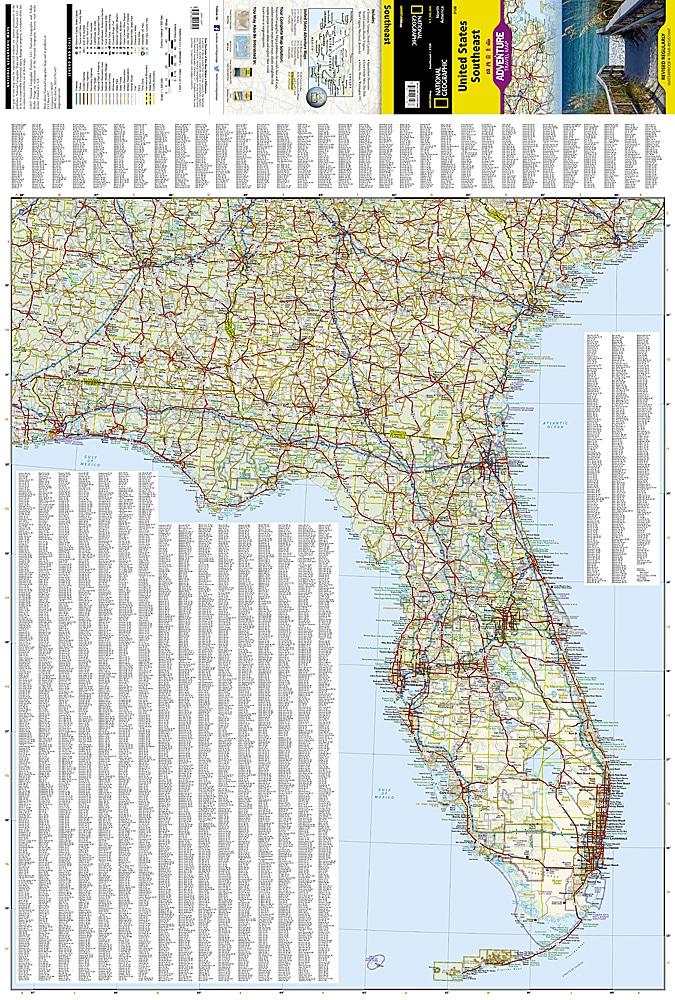
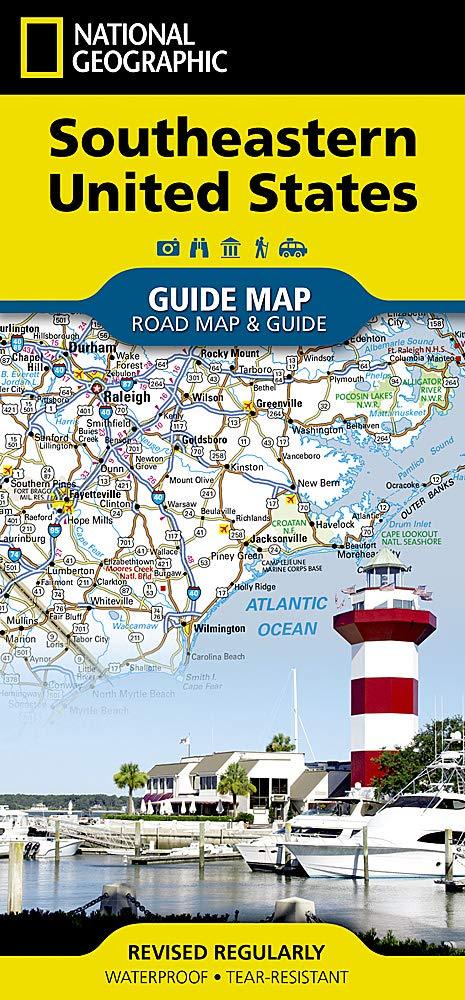
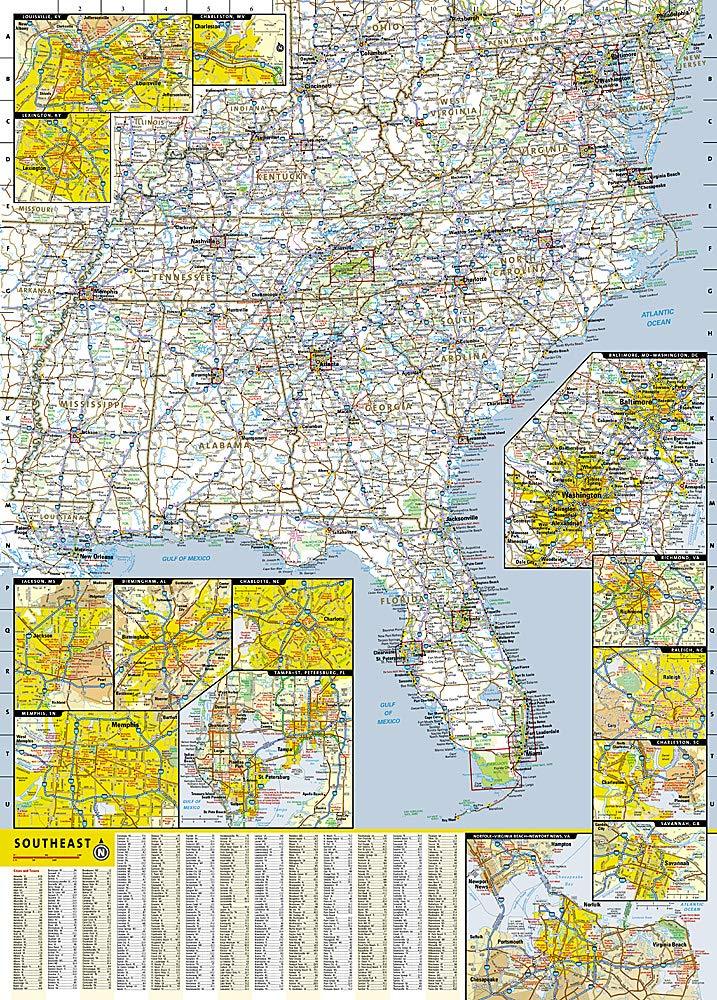
Great Smoky Mountains National Park (North Carolina & Tennessee) trail maps published by National Geographic.
Great Smoky Mountains National Park is the most visited national park in the country. This map pack includes three maps to help visitors make the most of their trip.
The map pack includes an overview map showing the entire park as well as two detailed maps of the eastern and western halves of the park. With this combination of maps, visitors can feel confident planning a trip that includes driving the scenic Cades Cove Driving Loop to hiking deep into the backcountry. All trails are marked with trail mileage, and all three maps include multiple points of interest such as walkways, campgrounds, boat launches, shelters, and more.
Coverage includes: Great Smoky Mountains National Park, Appalachian Trail, Benton Mackaye Trail, Mountains-to-Sea Trail, Cades Cove Driving Loop, Chilowee Mountain, Little Mountain, Cataloochee Divide, Blue Ridge Parkway, Cherokee, Pisgah, and Nantahala National Forests, Little Tennessee and Tuckasegee Rivers, Chilhowee and Fontana Lakes, and more.
The Great Smoky Mountains National Park Map Pack includes:
Map 229 - Great Smoky Mountains National Park
Map 316 - Cades Cove, Elkmont: Great Smoky Mountains National Park
Map 317 - Clingmans Dome, Cataloochee: Great Smoky Mountains National Park
.
These trail maps are waterproof and tear-resistant.