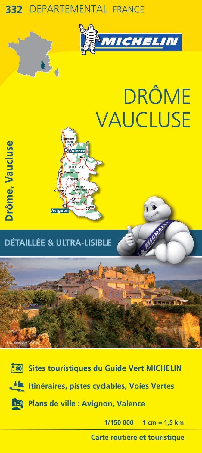
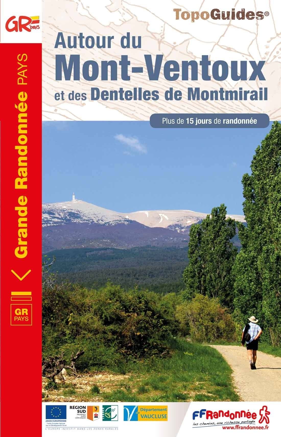
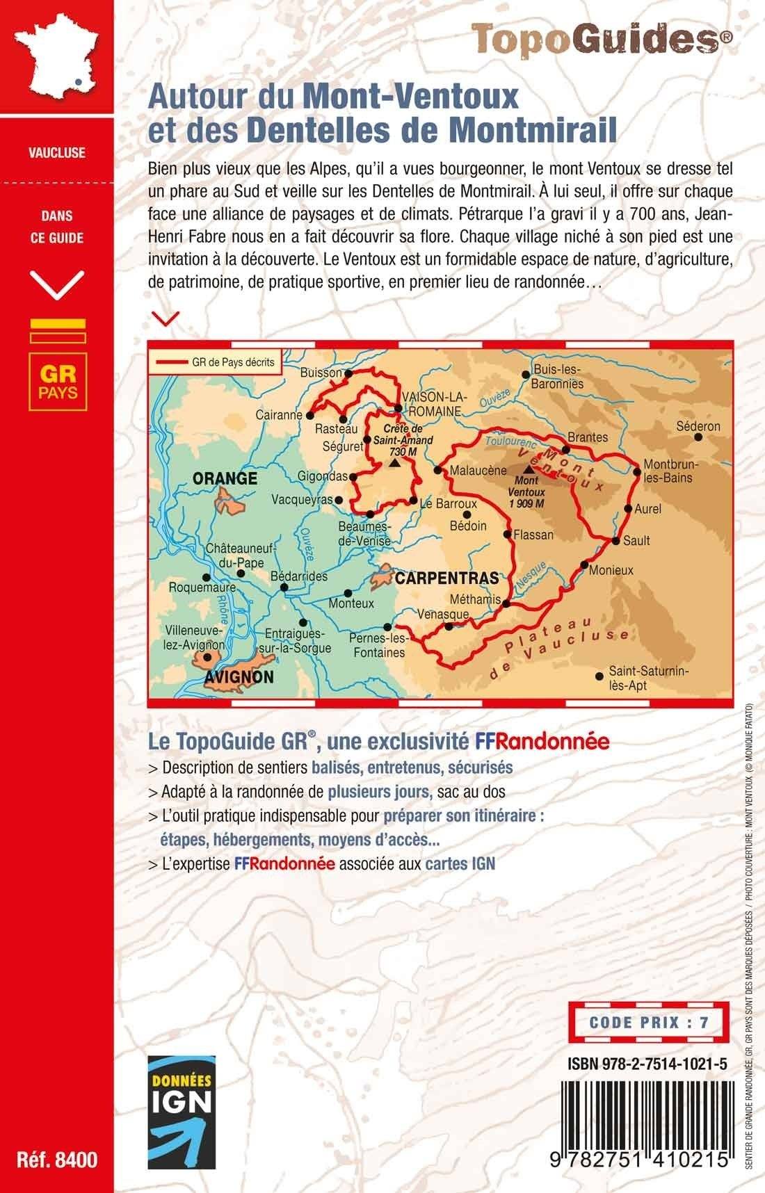
Topographical Map - Perched Villages of the Monts de Vaucluse | FFRandonnée

Price
Regular price 1290 €
Regular price Sale price 1290 €
/
  • Ships within 5 to 8 working days
    (Currently in transit to our warehouse in France)
  • Cartovia Guarantee – Delivery issue?
    We resend immediately upon receiving a simple photo.
Tax included.

Often purchased together:

Discover the Monts de Vaucluse through two circular routes starting from the village of Murs. Between hilltop villages, the Nesque Gorges, limestone landscapes, lavender, and ochre, this FFRandonnée topo map invites you to explore a preserved massif located between Mont Ventoux and the Luberon.

🥾 Two itinerant routes

  • 4-day loop – 66 km
  • 5-day loop – 85 km

These routes are designed for a progressive discovery of the Monts de Vaucluse and are perfect for a week of hiking.

📍 Highlights

  • 2 itineraries of 4 and 5 days
  • Distances of 66 km and 85 km
  • Hikes accessible all year round
  • Easy access from Avignon
  • New edition with integrated accommodation list
  • Reinforced weather-resistant paper support
  • Compatible with the guidebooks Tours in the Luberon and Monts de Vaucluse and Mont Ventoux Regional Nature Park


ISBN / EAN : 9782751414152
Date de publication : 2026
Echelle : 1/50,000 (1cm=500m)
Impression: both sides
Dimensions plié(e) : 25 x 10.7 x 0.3 cm
Langue : French
Poids : 80 g