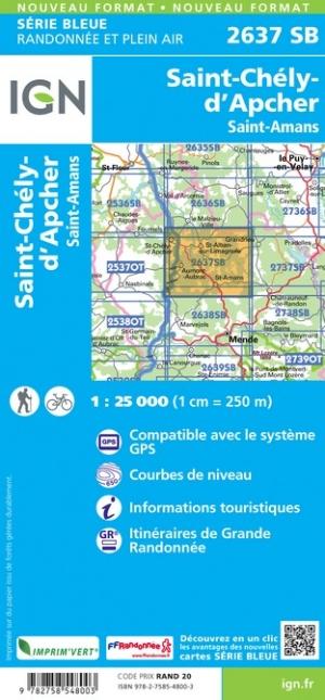
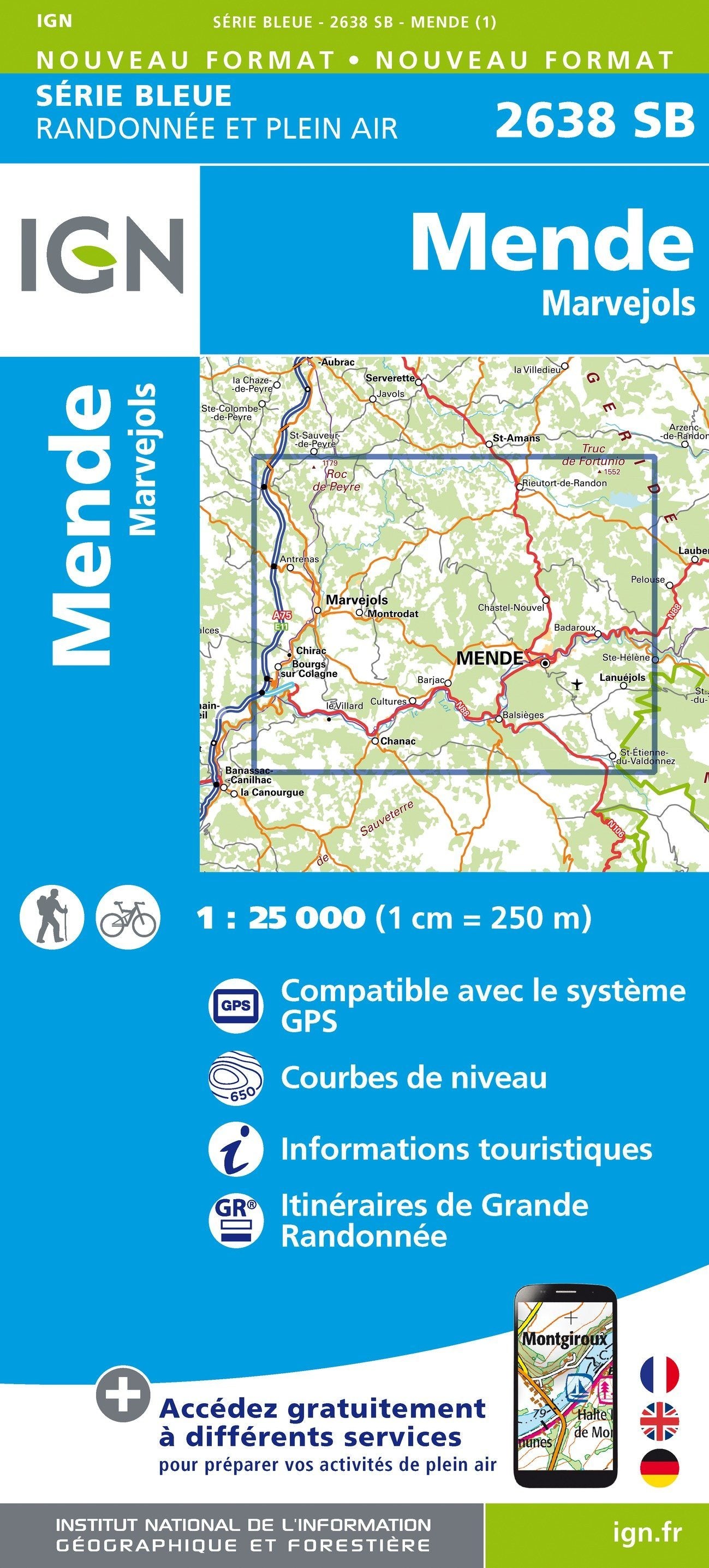
This IGN Blue Series No. 2737 hiking map provides mapping of the Langogne, Grandrieu area.
- Reference stated in the description: 2737SB.
This highly accurate topographic mapping shows every detail on the ground:
- Transport routes down to the smallest paths.
- Buildings, including individual sheds.
- Woodland, isolated trees, rivers and springs.
Contour lines show the terrain.
- Waymarked trails and tourist information are also shown.
Municipalities covered: Langogne, Saint-Étienne-du-Vigan, Cheylard-l'Évêque, Saint-Alban-en-Montagne, Saint-Paul-de-Tartas, Grandrieu, Saint-Arcons-de-Barges, Naussac-Fontanes, Rocles, Lavillatte, Saint-Jean-la-Fouillouse, Coucouron, Auroux, Lespéron, Rauret, Saint Bonnet-Laval, Chastanier.
Places to discover: Monts d'Ardèche Regional Nature Park, Réservoir de Naussac, Mont de la Bruyère, Monts de la Margeride, Musée de la filature, Monument à Du Guesclin, Pierre Branlante, Donozau Waterfall.