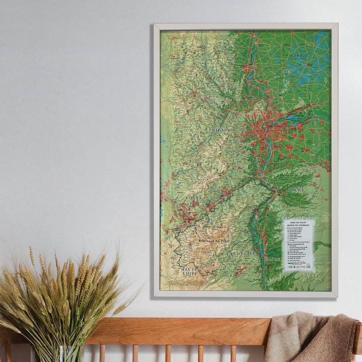
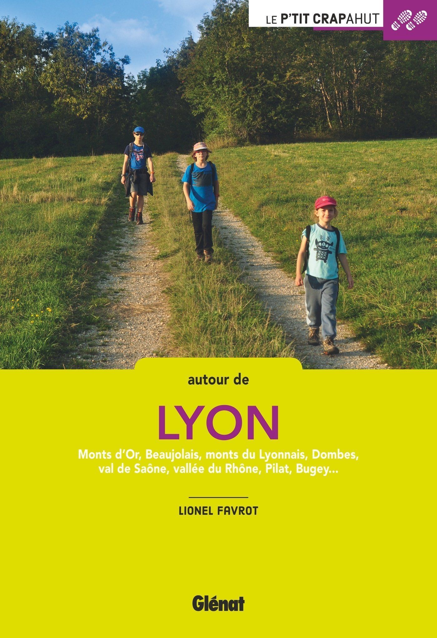
IGN TOP 25 hiking map No. 2934 ET - Bourg-Argental, Col de la République, Pilat Regional Nature Park

Price
Regular price 1430 €
Regular price Sale price 1430 €
/
  • Ships within 5 to 8 working days
    (Currently in transit to our warehouse in France)
  • Cartovia Guarantee – Delivery issue?
    We resend immediately upon receiving a simple photo.
Tax included.

Often purchased together:

TOP 25 topographic map of Bourg-Argental, Col de la République, and the Pilat Regional Natural Park, published by IGN.

Hiking map with 10-meter contour lines and detailed legend (vegetation, rocks, rivers, etc.). Hiking trails are indicated. Scale 1/25,000 (1 cm = 250 m).

Communes covered: Bourg-Argental, Saint-Sauveur-en-Rue, Maclas, Saint-Julien-Molin-Molette, Jonzieux, Véranne, Saint-Jacques-d'Atticieux, Saint-Just-Malmont, Saint-Régis-du-Coin, Marlhes, Dunières, Vocance, Saint-Julien-Molhesabate, Saint-Alban-d'Ay, Monestier, Riotord, Saint-Romain-Lachalm

Places to discover: Pilat Natural Park, Taillard Forest, Deûme Gorge, Le Grand Felletin, Col de la République, Crêt de la Perdrix, Le Pilat, Cance Valley, Château de Feugerolles, Gourdan, Ternay Dam


ISBN / EAN : 9782758558972
Date de publication : 2026
Echelle : 1/25,000 (1cm=250m)
Impression: front
Dimensions plié(e) : 23.6 x 11.2 x 0.5cm
Dimensions déplié(e) : 132 x 96 cm
Langue : French, English, German
Poids : 89 g