General map of Greenland | Reise Know How

Price
Regular price 1600 €
Regular price Sale price 1600 €
/
  • In stock in France, in the USA and in the UK
    Shipped within 24 to 48h from the warehouse closest to you
  • Free returns (*)
  • Real-time stock levels
  • Cartovia Guarantee – Delivery issue?
    We resend immediately upon receiving a simple photo.
  • In stock, ready to ship
  • Backordered, shipping soon
Tax included.

Frequently bought together:

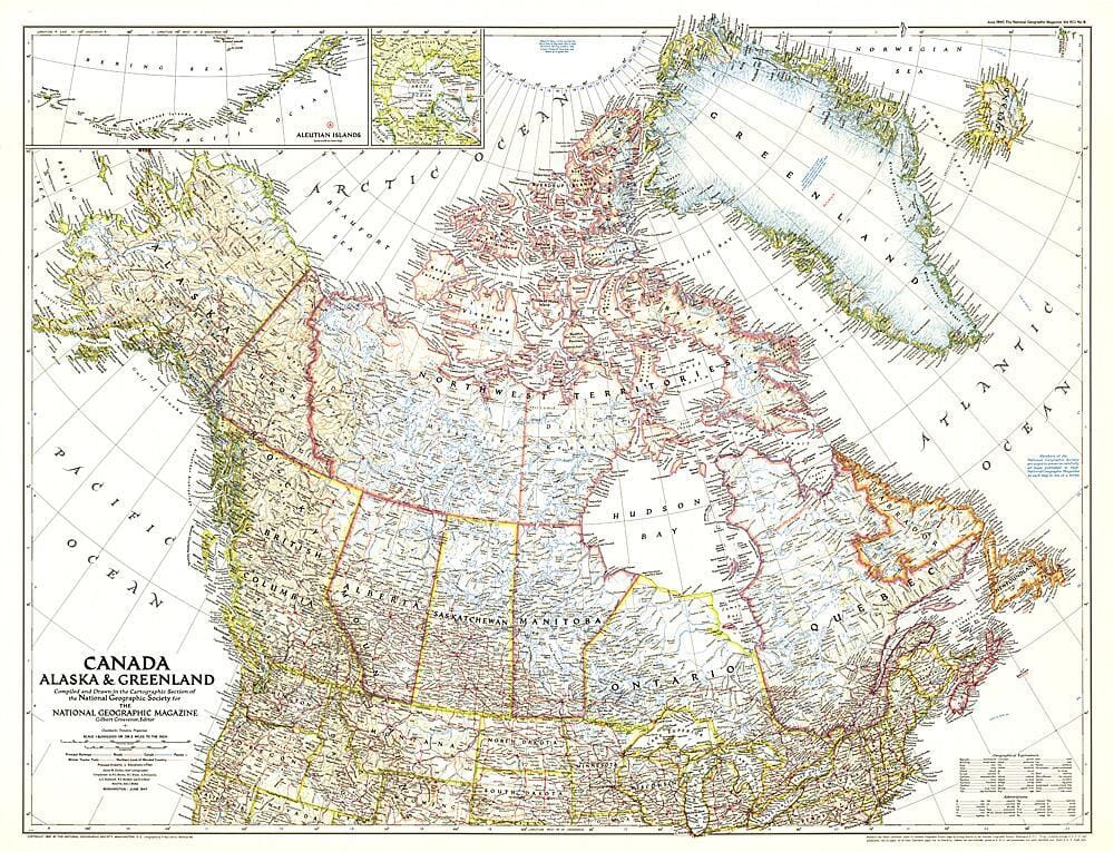
Published by Reise Know How, this general map covers Greenland.

Greenland is divided into northern and southern sections. Topography is represented with elevation colours and numerous spot heights. Mountain ranges, peaks, glaciers, coastal bays and fjords are named, with Greenlandic and Danish labels.

Ferry routes along the south-west coast, airfields, heliports, hotels, whale-watching sites and the boundary of Northeast Greenland National Park are shown. Places of interest and expedition routes are also marked.

A North Atlantic inset shows Greenland, most of Western Europe, including Svalbard, and north-eastern North America, from New York to the Canadian Arctic islands. Photographs of important tourist sites help with trip planning.

Material is waterproof, tear-proof and writable.


ISBN/EAN : 9783831775149
Publication date: 2026
Scale: 1/1,900,000 (1cm=19km)
Printed sides: both sides
Folded dimensions: 26 x 11.5 x 0.8cm
Unfolded dimensions: 100x70cm
Language(s): French, German, English, Spanish, Russian
Weight: 85 g