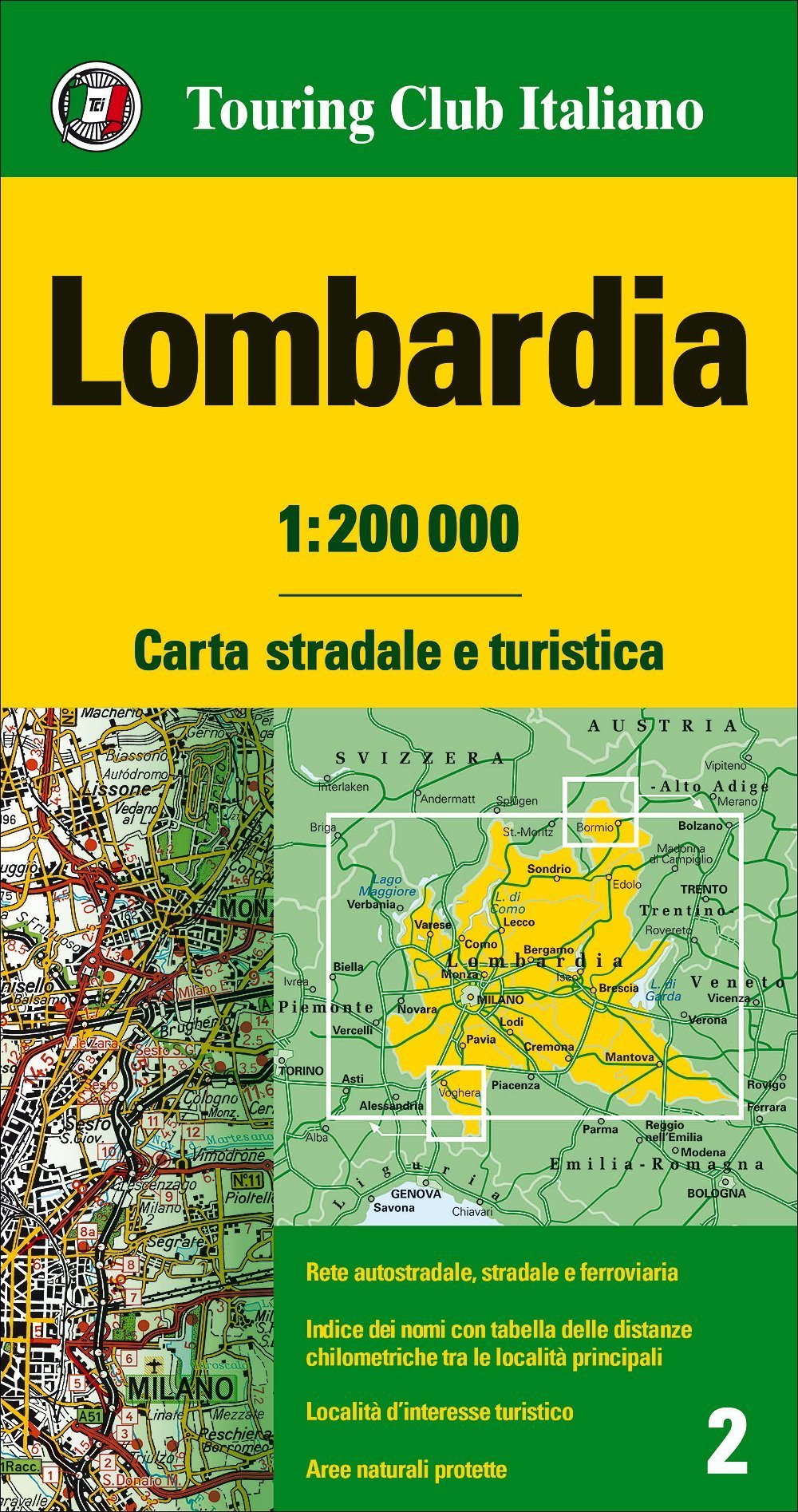
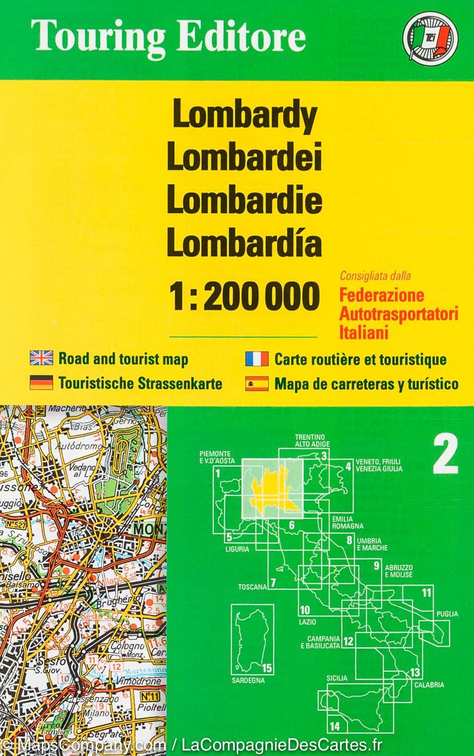
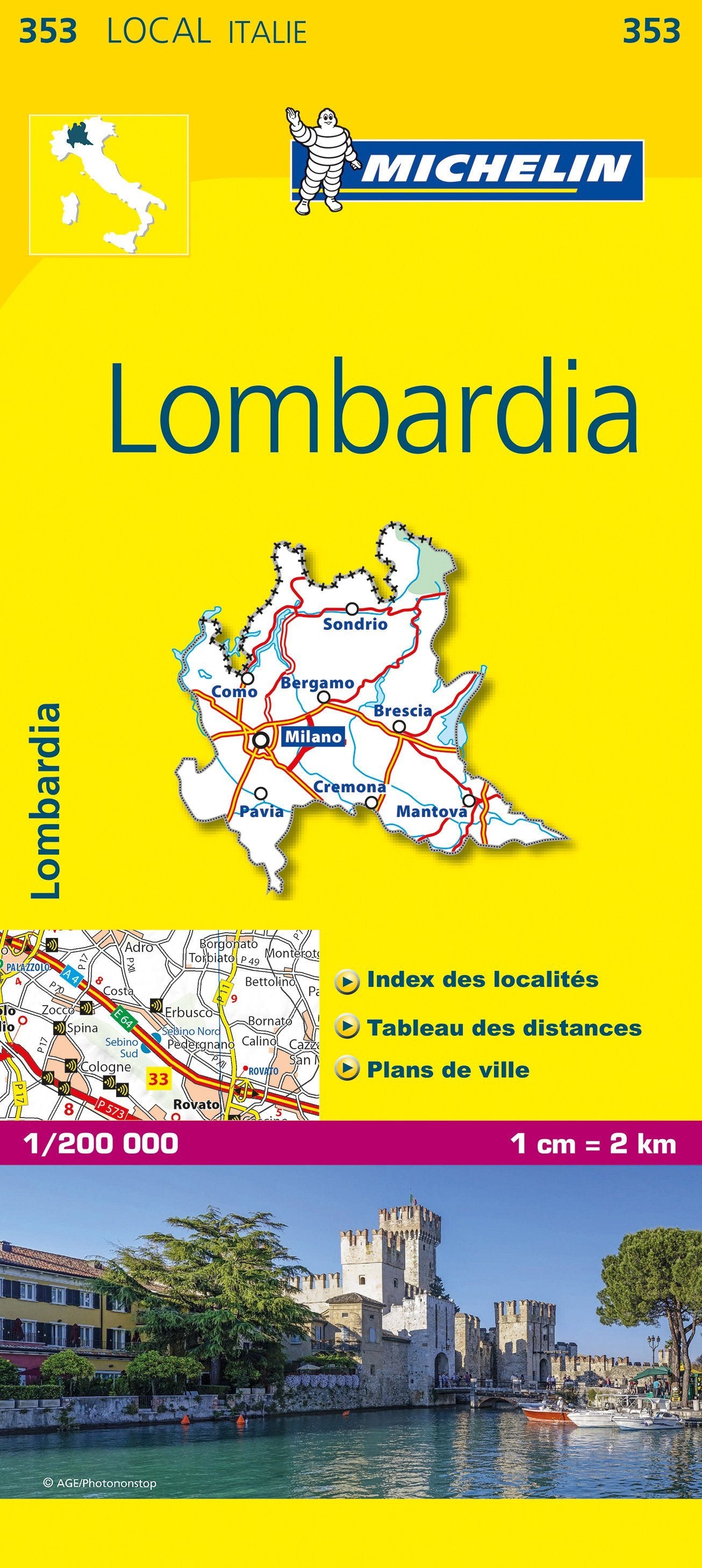
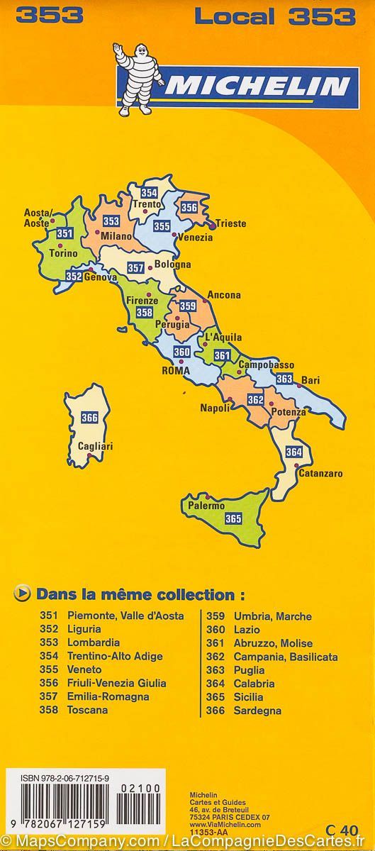
Hiking map no. 103 – Ponte di Legno / Alta Val Camonica (Italy) | Kompass
1:50,000 scale – durable and richly detailed
An ideal map for hiking, cycling and alpine exploration
The Kompass Ponte di Legno / Alta Val Camonica hiking map is an easy-to-read map designed to provide all the information you need for hiking, cycling, or mountain excursions. Its precision and readability make it easy to plan your routes efficiently while providing excellent navigational comfort on the ground.
Map content:
-
All official hiking trails , with names and numbers (including long-distance hiking trails)
-
Cycle paths , via ferratas, ski tours and cross-country ski trails
-
Shelters, hostels, parking lots, bus stops and train stations
-
Springs, lakes, waterfalls, swimming areas and other points of interest
-
Relief represented intuitively using contour lines, shading, vegetation and pictograms
-
Multi-section maps , including multiple areas on a single map
-
About the region:
Set in a wild mountainous landscape , the Ponte di Legno and Alta Val Camonica region offers an exceptional setting for adventure lovers. To the east lies the Adamello Regional Park , home to Italy's largest glacier. The Alta Via dell'Adamello long-distance hiking trail crosses this majestic area marked by the history of the First World War, with many remains of the " Guerra Bianca ".
The spectacular Sentiero dei Fiori via ferrata follows ancient military trails. The Presanella group , east of Adamello, captivates with its high-altitude lakes, waterfalls and impressive views of the Adamello glaciers and the peaks of the Brenta massif.
Technical characteristics:
-
Scale 1:50,000 : 1 cm = 500 m on the ground
-
Weather and tear resistant paper
-
Offline access available via the Kompass app
-
Practical and lightweight format, ideal for carrying in your backpack