Travel Map - Cook Islands & Eastern Pacific Cruises | ITM

Price
Regular price 1350 €
Regular price Sale price 1350 €
/
  • Shipped within 24 to 48h from our warehouse in France
  • Free returns (*)
  • Real-time stock levels
  • Cartovia Guarantee – Delivery issue?
    We resend immediately upon receiving a simple photo.
  • In stock, ready to ship
  • Backordered, shipping soon
Tax included.

Frequently bought together:

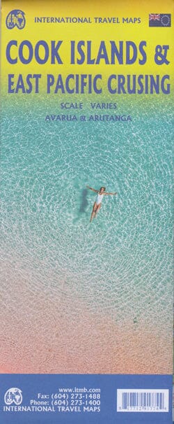
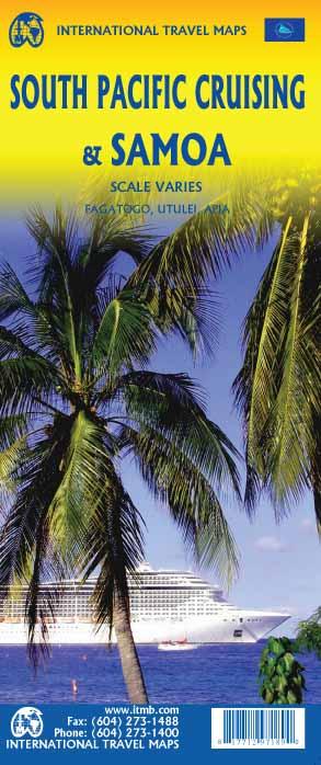
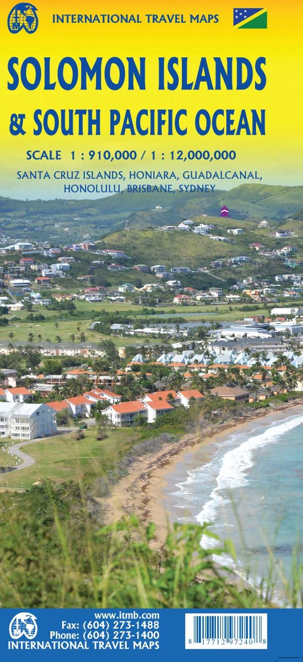
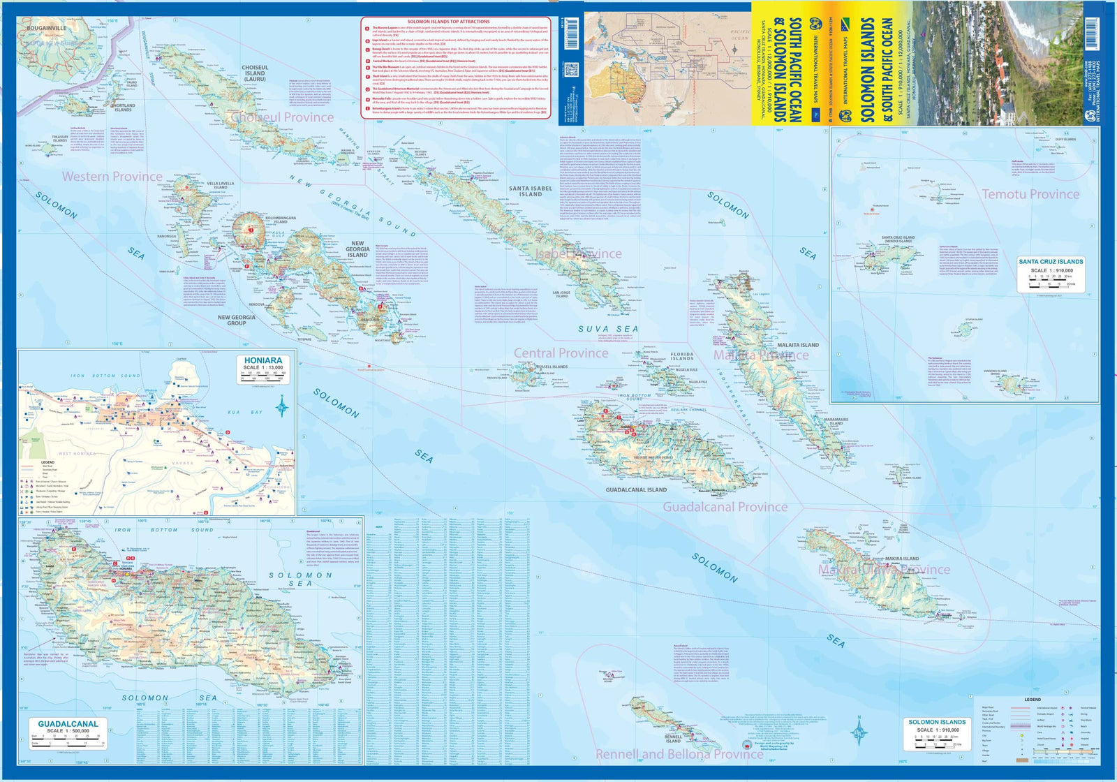
This ITM map shows a detailed map of the main Cook Islands on the front, including Rarotonga, Aitutaki, Mangaia and Atiu, with an inset of Avarua.

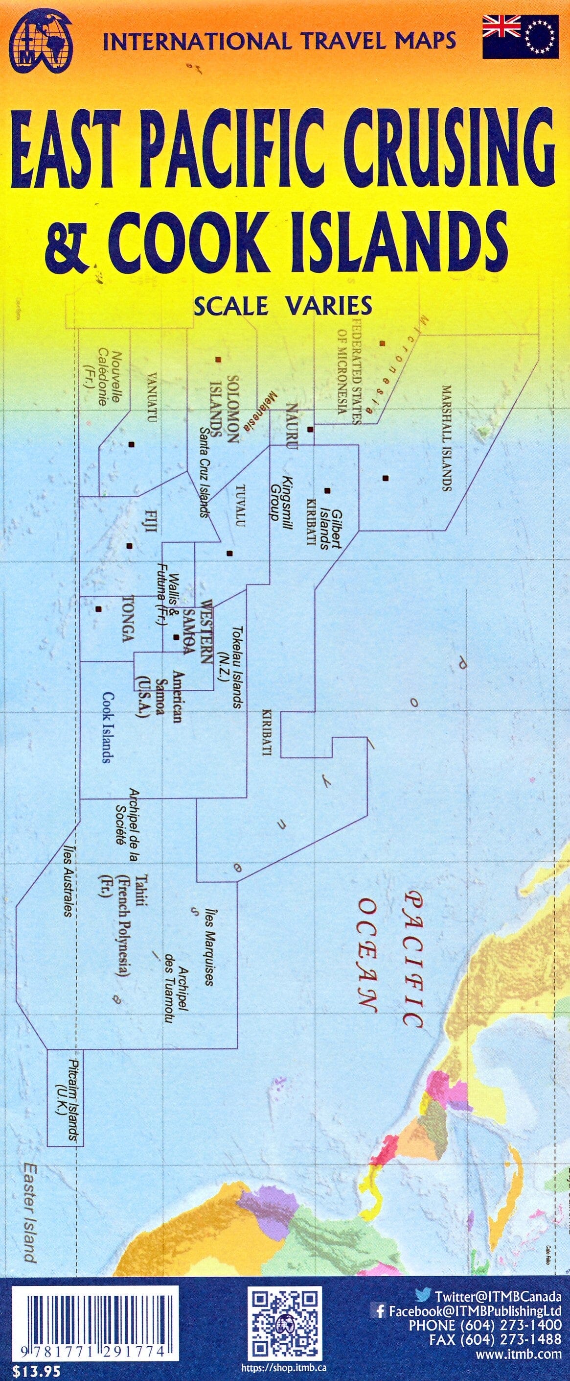
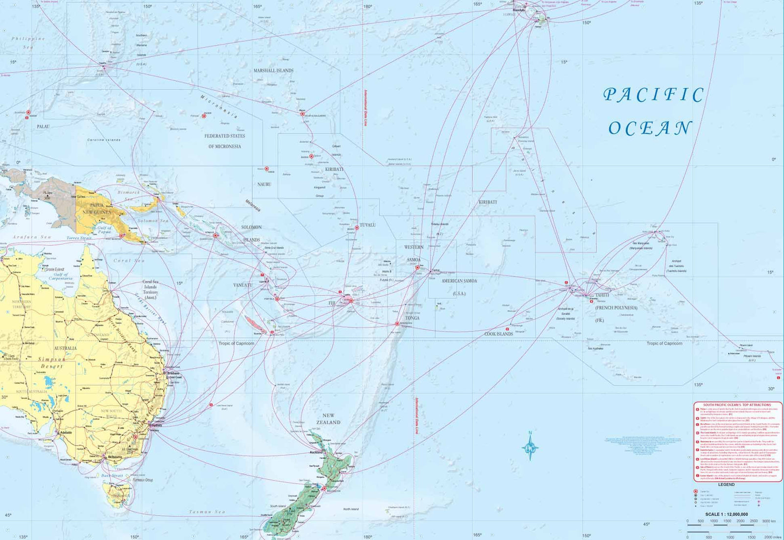
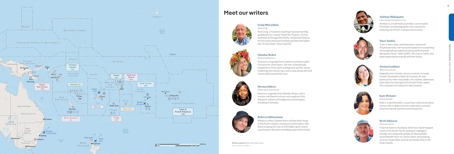
The reverse covers the eastern South Pacific, from the Marshall Islands, Nauru and the Solomons to Hawaii and Tahiti, and south to New Zealand. Kiribati, Tuvalu, Fiji, Samoa and New Caledonia are also included. This side mainly highlights shipping and cruise routes. Relief, hiking trails, points of interest, ferry links, outdoor activities and a town index are shown.


ISBN/EAN : 9781771291774
Publication date: 2022
Scale: 1/100,000 (1cm=1km)
Printed sides: front
Folded dimensions: 24.6 x 10.3 x 0.5cm
Unfolded dimensions: 100 x 69cm
Language(s): English
Weight: 52 g